Wildfire danger
The wildfire danger is LOW in the Slave Lake Forest Area.
There are no fire advisories, restrictions or bans in the Slave Lake Forest Area. For up-to-date information on fire regulations in other parts of Alberta, please visit www.albertafirebans.ca
-png.png?width=792&height=612&name=Fire%20danger%20map%20-%20Aug%2019%202024%20(002)-png.png)
Smoky conditions
Visit www.firesmoke.ca to see where smoke is coming from. Anyone with health concerns should visit Alberta Health Services or call 811 for health advice from Alberta Health Link.

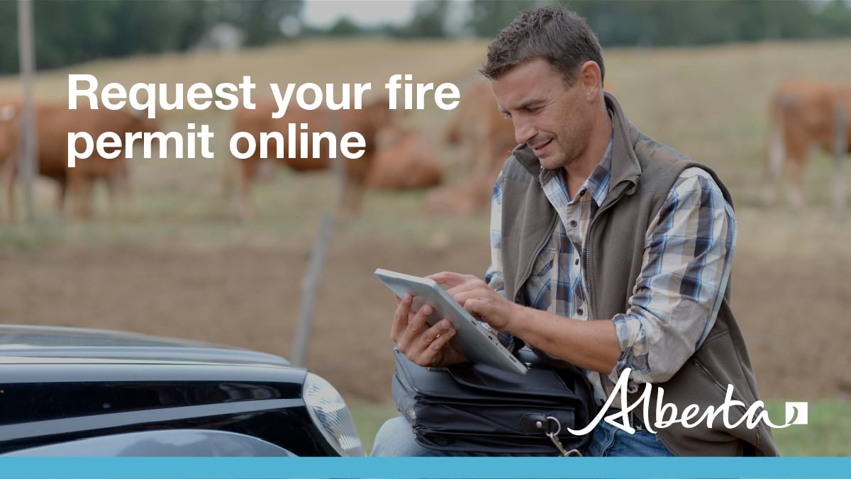
Fire permits are required

Current wildfire situation
There have been no new wildfire since August 15 in the Slave Lake Forest Area.
Currently, in the Slave Lake Forest Area, there are four wildfires being held, three that are under control and 150 that have been extinguished.
When weather conditions permit, aerial infrared scans are being conducted on the following wildfires. The scans help locate areas of smouldering ground fire and the results are then provided to firefighters who will extinguish the identified hotspots.
SWF141 was detected on August 13 and is located approximately 74 kilometres northeast of Wabasca. The wildfire is being held at 84 hectares. Today, there are 25 firefighters with three helicopters working on this wildfire.
SWF130 was detected July 18 and is located approximately 90.7 kilometres northwest of Red Earth Creek. The wildfire is classified as being held and is 1,849 hectares. An infrared scan will be conducted when conditions allow.
SWF129 was detected July 18 and is located approximately 88 kilometres northwest of Red Earth Creek. The wildfire is classified as being held and is 7,427 hectares in size. An infrared scan will be conducted when conditions allow. Today, there are nine firefighters with two helicopters working on these wildfires.
SWF124 was detected on July 16 and is located in the Marten Hills, approximately 29 kilometres southwest of Bigstone Cree Nation Wabasca 166D and approximately 46 kilometres northeast of Slave Lake. SWF124. The wildfire is under control and is 8,169 hectares in size. A fire guard has been constructed along the south and east sides of the wildfire. The scan results were reviewed and no hotspots were found. Heavy Equipment will be working on reclaiming the fire guards.
SWF120 was detected on the afternoon of July 14 and is located approximately 20 kilometres northwest of Chipewyan Lake. The wildfire is classified as being held and is 13,282 hectares in size. A fire guard has been constructed along the south end of the wildfire. Today, there are 20 firefighters with three helicopters working on this wildfire.
SWF095 was detected on July 11 and is located approximately 70 kilometres north of Peerless Lake. It is estimated to be 5,269 hectares in size and is classified as under control. Today, there are nine firefighters and three helicopters extinguishing hotspots.
SWF093 was detected on July 11 and is located approximately 85 kilometres north of Red Earth Creek. The wildfire is classified as under control and is estimated to be 2,523 hectares.
Since January 1, 2024, 150 wildfires have been reported in the Slave Lake Forest Area, resulting in a total burned area of 39,322.04 hectares.
Since January 1, 2024, 1,094 wildfires have been reported in the Forest Protection Area of Alberta, resulting in a total burned area of 705,709.97 hectares.
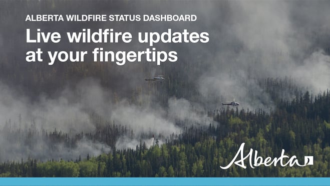
To view wildfires on a map, download the AB Wildfire App or visit the Alberta Wildfire Status Dashboard
The Forest Protection Area is divided into 10 forest areas. Find the latest updates for each area here or subscribe to receive them in your inbox.
.png?width=1201&height=629&name=WF_Social-images%20(8).png)
Prevent wildfires
On average, 67% of wildfires in Alberta are caused by people. Whether you are recreating or working outdoors, please do your part to prevent wildfires.
When having a campfire, keep it small, safe and always attended. When you are leaving the site or going to bed, your campfire must be extinguished. Soak it, stir up the ashes, soak it again to ensure it is out. A campfire is out when you can no longer feel heat from the ashes.
When riding your off-highway vehicle, stop frequently to remove any build-up of debris from your machine. Grass, muskeg, moss or other debris can begin to smoulder and drop to the ground as you're riding and spark a wildfire. Always carry firefighting equipment such as a shovel, extinguisher and bucket when you ride.

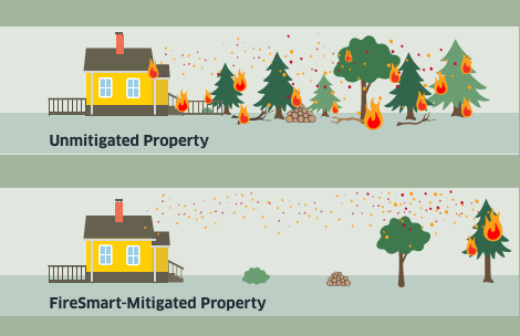
FireSmart Alberta
If you have any questions, please contact:
Wildfire Information Officer
Leah Lovequist
Wildfire Information Officer
Mobile:780-849-0945
RELATED INFORMATION
Forest Area Updates:
Websites:
