

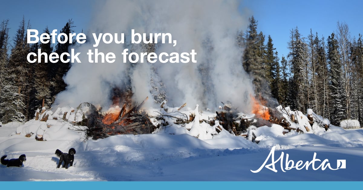
Winter burning
From November 1 to February 28 fire permits are not required for burning in the Forest Protection Area of Alberta. However, you are still responsible for any fires you ignite outside of the wildfire season.Safe burning guidelines for winter:
Before You Burn:
- Winter burns should be conducted in areas with sufficient snow cover of more than 15 cm and burns must be monitored the entire time.
- Ensure smoke warning signs are in place before burning within half a mile (800 m) from a roadway. For more information on smoke management and to acquire signs, contact your local municipality. If you are outside of a municipality, contact Alberta Transportation.
- Read over the Recommended Practices for placement and instruction of a “Smoke Ahead” sign.
While burning:
- Have someone monitoring the burn the entire time – if it escapes, immediately report it to 310-FIRE (3473).
- Only burn what you can control with the equipment and people you have available, and adjust your burning according to weather conditions.
- Build it right. Brush piles or debris windrows should be free of soil, built to a maximum height of 3 metres, and with a fireguard or cleared land around it to stop the spread of fire.
After you burn:
- Spread remaining material within the pile and soak with water as required.
- Check the area and ensure both heat and smoke are no longer being produced by the pile – it should be cool to the touch.
- Check your burn site multiple times in the following weeks to ensure it has not reignited.
Smoke Safety
While winter is a safer time for burning due to reduced wildfire danger, it's still essential to take necessary precautions, such as monitoring the weather to prevent smoke from adversely affecting surrounding areas.
On particularly cold winter days, inversions and other weather factors can cause smoke from a winter burn to stay close to the ground and travel great distances. An inversion happens when cold air is trapped near the ground by a layer of warmer air above it. Inversions can cause dangerous driving conditions and impact nearby communities.
When burning in winter:
- Refrain from burning when an inversion is in place or is forecasted.
- Consult local municipalities and authorities on how to mitigate impacts when undertaking larger winter burning projects near communities or road ways.
- Actively manage burn projects to reduce disposal time and smoke impacts.
- Burning debris in stages will allow you to adapt to changing weather conditions and reduce smoke.
- Monitor weather conditions: lower temperatures and lighter wind speeds can result in stronger inversions. The ideal conditions for burning are typically days with average temperatures and wind speeds over 5 km/h.
For more information, see Brush piles and windrows: Safe burning practices
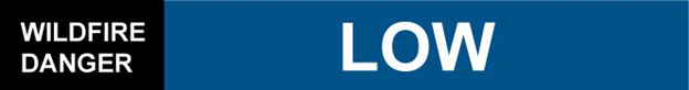
Current wildfire situation
Since January 1, 2024, 156 wildfires have been reported in the Slave Lake Forest Area, resulting in a total burned area of 39,287.29 hectares. All 156 wildfires have been extinguished.
Of the 156 wildfires, 85 wildfires were caused by lightning, 67 were human caused and 4 remain under investigation. The majority of hectares burned this season were the result of the lightning caused wildfires. Lightning caused wildfires burned 38,980.8 hectares while human caused wildfires burned 306.6 hectares.
Firefighters want to thank everyone for preventing wildfires and following the fire advisory, restriction, and ban this season. Because of your efforts, we saw a reduction in human-caused wildfires in the Slave Lake Forest Area.
Provincially, Alberta Wildfire has responded to over 1,230 wildfires so far this year, which is slightly above the 5-year average of 1,060 wildfires. Around 715,200 hectares of forest have burned so far this year, slightly more than the 5-year average of 640,000 hectares.
Preparation, swift response define wildfire season | alberta.ca
To view wildfires on a map, download the AB Wildfire App or visit the Alberta Wildfire Status Dashboard
Unless conditions change, you can expect your next wildfire update on January 7th, 2025. If you have any questions contact Leah Lovequist, Wildfire Information Officer for the Slave Lake Forest Area, at 780-849-0945.
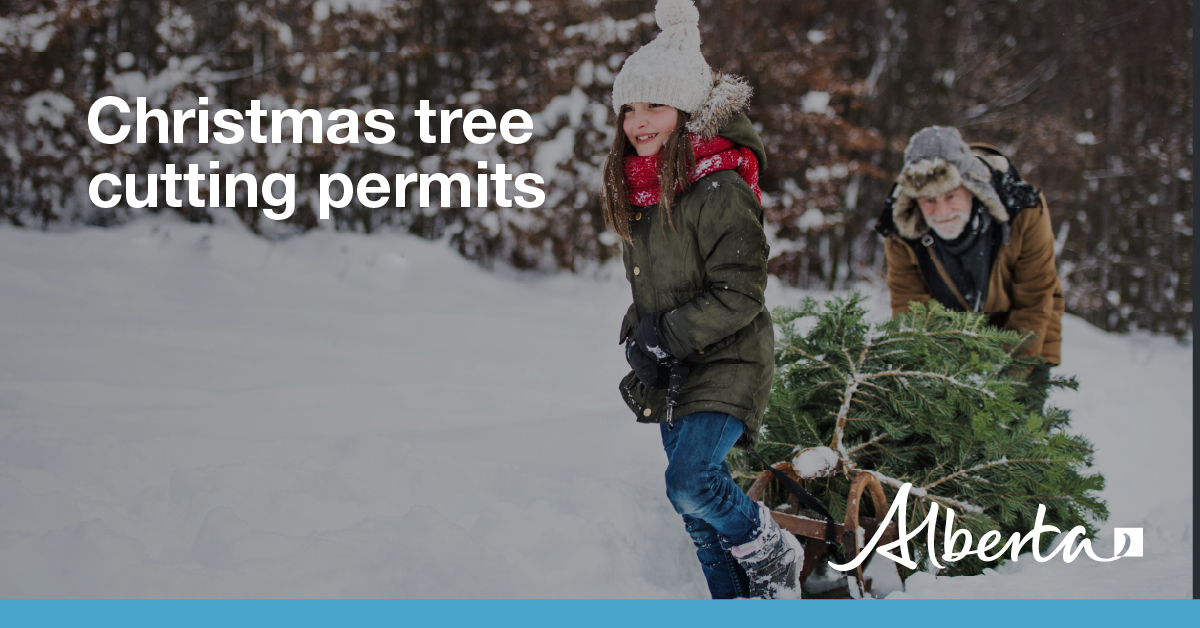
Firewood and Christmas trees
Personal Use Forest Products Permits are for small-scale personal use only (no resale) for Christmas trees, firewood or transplants. These free permits are available online or in person at your nearest forestry office. PUFPPs authorize Albertans to cut and removed timber from designated Crown land only.
The area-specific PUFPP document must be with you at all times while cutting or transporting trees from Crown land. In one 30-day period, a person can hold up to 4 permits – up to one permit each for: firewood, Christmas trees, roundwood and transplants.
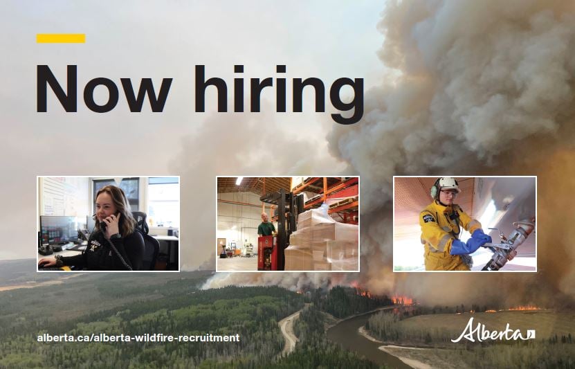
Alberta Wildfire is hiring
We’re looking for hard-working and dedicated people to join our team for the 2025 wildfire season.
Current Job Postings:
Wildfire Crew Leader/Sub-Leader

Wildfire Community Preparedness Day
Wildfire Community Preparedness Day gives neighbourhoods and communities the opportunity to receive a $500 award from FireSmart Canada, along with an event kit to help make your event a huge success. Starting a FireSmart conversation in your community can feel overwhelming at first, but Wildfire Preparedness Day is designed to help you begin your FireSmart journey or continue the incredible work you’re already doing.
Don’t miss out on this opportunity! Apply for your chance to receive $500 to support a FireSmart event or project on your street or within your community. Applications are open until Jan 31, 2025!
![]()
![]()
![]()
If you have any questions, please contact:
Wildfire Information Officer
Leah Lovequist
Wildfire Information Officer
Mobile:780-849-0945
Email: Leah.Lovequist@gov.ab.ca
RELATED INFORMATION
Forest Area Updates:
Websites: