

The wildfire danger for the Grande Prairie Forest Area is MODERATE.
The wildfire danger is MODERATE in the Grande Prairie Forest Area. A fire restriction has been lifted for the south part of our area, but a fire restriction remains in effect for northern parts within the Forest Protection Area (FPA).
Unstable conditions will re-develop in the province with widely scattered or frequent shower and thunderstorm activity continuing in most zones under a weak surface trough to the west as well as a new arctic cold front approaching from the Northwest Territories.
Find wildfire forecasts, weather maps and information about how fire danger is monitored in Alberta alberta.ca/fire-weather-and-forecasts.aspx
Wildfire Situation
Since January 1, there have been 45 wildfires in the Grande Prairie Forest Area (GPFA) burning nearly 141,357 hectares.
There are 11 wildfires in the Grande Prairie Forest Area. Of these fires, one is classified as out of control (OC), five are under control (UC) and five are being held (BH). To see a map of the wildfires across the province please click here.
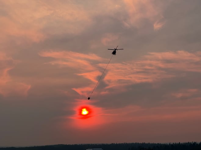
(K-1200 Bucket Support Boone Lake Complex)
GWF035 & GWF038 - Boone Lake Complex GCX002
The Boone Lake Complex is made up of two fires and the total area involved is 8,985 hectares. The complex received very little rain overnight but did not see any growth.
Saddle Hills county is providing sprinkler structural protection support on identified critical infrastructure such as the Environment Canada and Climate Change Canada radar system and the White Mountain lookout forestry tower.
Firefighters continue to complete dozer guard and contain the line inside the perimeter 100 feet in priority areas. They are Monitoring for spot fires outside the perimeter.
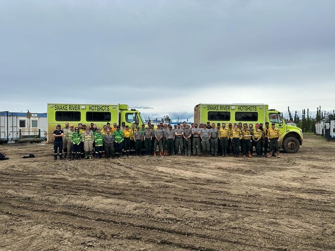
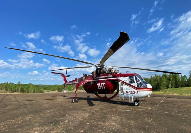
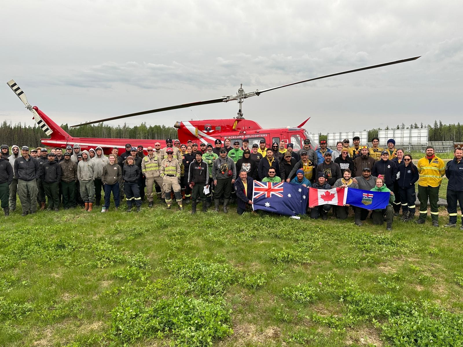
Currently, 86 firefighters, 5 helicopters with buckets and 6 pieces of heavy equipment are working to contain these wildfires.
GWF035 is located 20 kilometers north of Valhalla Center near the northeast side of Boone Lake. This wildfire is now considered to be 100 percent contained with a guard and is estimated to be 872 hectares in size. This wildfire started June 4, 2023, and is classified as Being Held (BH). An infrared scan was done on this fire yesterday and showed some hot spots within the perimeter of the fire none was found along the perimeter. The south perimeter is held adjacent to Boone Lake and is being supported with a long-term retardant, helicopter bucketing and heavy equipment and ground resources.
GWF039 this lightning caused wildfire is classified as being held (BH) and is estimated to be 94 hectares in size, with 90 per cent of the fire contained. This fire did receive some rain overnight and is waiting for a heat scan to determine where hotspots are occurring. A dozer guard has been established around most of the fire, but slope and terrain has been a challenge on the southwest flank of the fire. Firefighters continue to monitor this fire today. GWF039 is located approximately 60 kilometers southwest of Grovedale.
GWF041 is now classified as being held (BH). This wildfire is estimated to be 6.5 ha in size and located 7.5 kilometers northwest of Moonshine Lake Provincial Park. A fire guard around the perimeter has been completed. Two wildfire crews continue to work to secure the guard and search and put out hotspots along the permitter and inside the fire zone.
GWF027 & GWF040 - Eagle Complex WCX001
GWF040 is listed as under control (UC) at 1.3 hectares.
GWF 027 is classified as being held (BH). It is estimated to be 55,000 hectares in size and is now part of the Eagle Complex, which is being managed by the Whitecourt Forest Area. For the most recent updates visit the Whitecourt Forest Area Update.
GWF017 & GWF023, GWF019 - Sturgeon Lake Complex GCX001
The Sturgeon Lake Complex is made up of three fires and the total area involved is 28,802 hectares.
The interior of active wildfires can flare up as previously unburnt vegetation catches fire. This is a normal occurrence. Firefighters are monitoring these active fires and are working to put out hot spots. There is no need to report flame or smoke in these areas.
As of June 1, 2023 the status of the wildfires within the Sturgeon Lake Complex has been updated to under control. Firefighters remain on alert for new wildfires and continue to monitor those under control.
GWF017 is estimated to be 5,752 hectares in size and classified as under control (UC).
GWF023 is estimated to be 3,889 hectares in size and classified as under control (UC).
GWF019 - Bald Mountain Fire is 19,435 hectares in size and classified as under control (UC). This fire is approximately 17 kilometers west of Highway 40. This wildfire has been determined to be caused by lightning.

A FIRE RESTRICTION is now in effect. Report wildfires by calling 310-FIRE (3473).
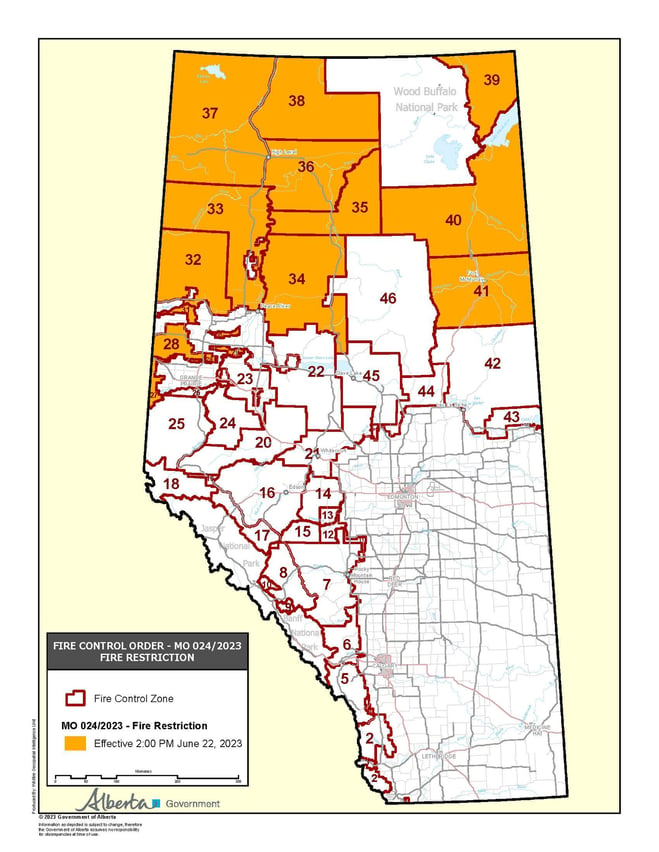
A FIRE RESTRICTION remains in effect for the northern part of the Grande Prairie Forest Area, within the Forest Protection Area (FPA) of Alberta. Cities, towns, villages and summer villages as well as National Parks are exempt from this restriction.
Please visit albertafirebans.ca to view a map of the impacted area. This fire restriction will remain in effect until conditions improve across the province.
Prohibited:
- All outdoor wood fires in backcountry and random camping areas on public land
- Charcoal briquettes in backcountry and random camping areas on public land
- The use of fireworks and exploding targets
- Wood campfires on private land and in designated campgrounds
- Charcoal briquettes on private land and in designated campgrounds
- Propane/natural gas-powered appliances
- Open flame oil devices (e.g., turkey deep fryers, tiki torches)
- Indoor wood fires contained within a device with a chimney and spark arrestor
- All appliances must be CSA approved and used per manufacturer’s standards
.png?width=659&height=371&name=wildfire%20app%20(1).png)


