

The wildfire danger for the Grande Prairie Forest Area is MODERATE.
The wildfire danger is MODERATE in the Grande Prairie Forest Area.
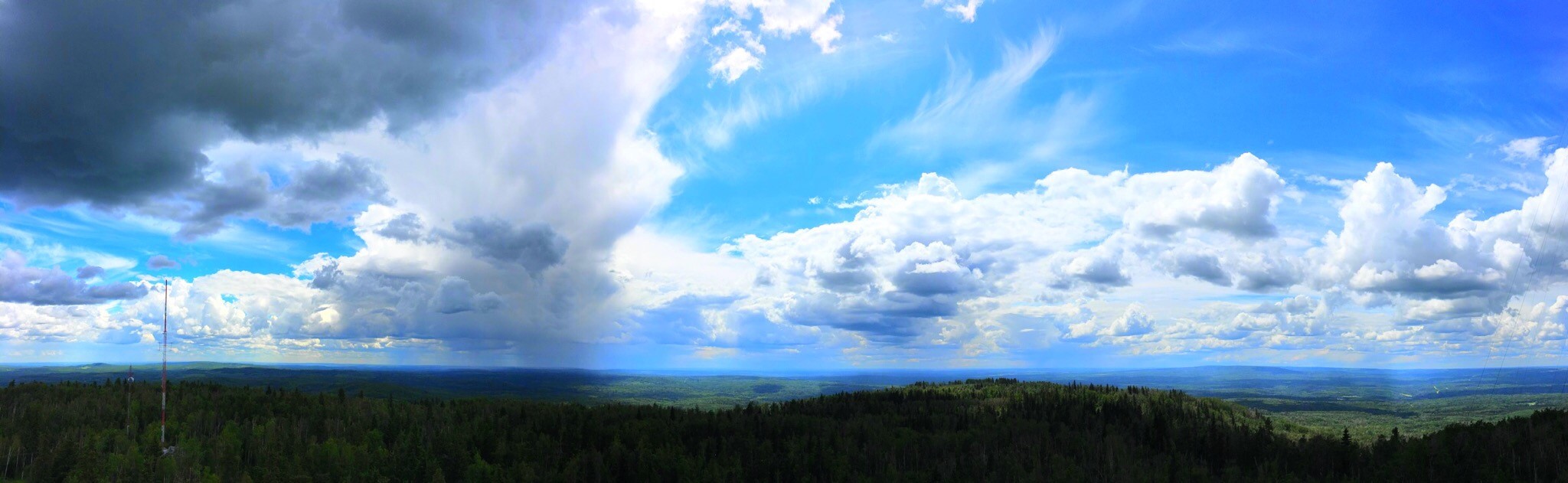
Rain showers and thunderstorms are in the forecast for the northwest boreal zones. Generally excellent relative humidity recoveries with a continued chance of lightning caused wildfires over the coming weeks.
Find wildfire forecasts, weather maps and information about how fire danger is monitored in Alberta alberta.ca/fire-weather-and-forecasts.aspx
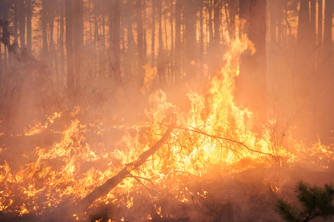
Wildfire Situation
Since January 1, there have been 42 wildfires in the Grande Prairie Forest Area (GPFA) burning over 141,627 hectares.
There are seven wildfires in the Grande Prairie Forest Area. Of these fires, one is classified as out of control (OC), three are under control (UC) and three are being held (BH). To see a map of the wildfires across the province please click here.
GWF039 This wildfire saw low fire behaviour over the past few days and firefighters were able to make progress on containment lines. Currently, this lightning caused wildfire is classified as being held (BH) and is estimated to be 94 hectares in size, with 90 per cent of the fire contained. A dozer guard has been established around most of the fire, but slope and terrain has been a challenge on the southwest flank of the fire. Firefighters will be monitoring this fire today. GWF039 is located approximately 60 kilometers southwest of Grovedale.
GWF041 is now classified as being held (BH). This wildfire is estimated to be 6.5 ha in size and located 7.5 kilometers northwest of Moonshine Lake Provincial Park. A fire guard around the perimeter has been completed. Firefighters continue to work to secure the guard and are assisted by a helicopter bucketing water.
GWF035 & GWF038 - Boone Lake Complex GCX002
The Boone Lake Complex is made up of two fires and the total area involved is 8,985 hectares.
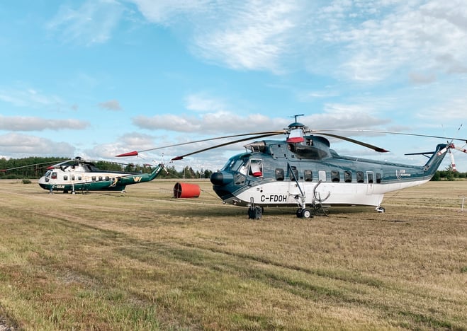
GWF035 is located 20 kilometers north of Valhalla Center near the northeast side of Boones Lake. This wildfire is now considered to be 100 percent contained with a guard and is estimated to be 872 hectares in size. This wildfire started June 4, 2023, and is classified as Being Held (BH). The south perimeter is held adjacent to Boone Lake and is being supported with a long-term retardant, helicopter bucketing and heavy equipment and ground resources. Four helicopters are now assigned to this wildfire.

GWF027 & GWF040 - Eagle Complex WCX001
GWF040 is listed as under control (UC) at 1.3 hectares.
GWF 027 is classified as out of control (OC). It is estimated to be 55,325 hectares in size and is now part of the Eagle Complex, which is being managed by the Whitecourt Forest Area. For the most recent updates visit the Whitecourt Forest Area Update.
GWF017 & GWF023, GWF019 - Sturgeon Lake Complex GCX001
The Sturgeon Lake Complex is made up of three fires and the total area involved is 28,802 hectares.
The interior of active wildfires can flare up as previously unburnt vegetation catches fire. This is a normal occurrence. Firefighters are monitoring these active fires and are working to put out hot spots. There is no need to report flame or smoke in these areas.
As of June 1, 2023 the status of the wildfires within the Sturgeon Lake Complex has been updated to under control. Firefighters remain on alert for new wildfires and continue to monitor those under control.
GWF017 is estimated to be 5,752 hectares in size and classified as under control (UC).
GWF023 is estimated to be 3,889 hectares in size and classified as under control (UC).
GWF019 - Bald Mountain Fire is 19,435 hectares in size and classified as under control (UC). This fire is approximately 17 kilometers west of Highway 40. This wildfire has been determined to be caused by lightning.
A FIRE RESTRICTION is now in effect. Report wildfires by calling 310-FIRE (3473).
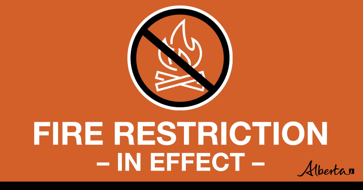
Under this FIRE RESTRICTION:
Prohibited:
- All outdoor wood fires in backcountry and random camping areas on public land
- Charcoal briquettes in backcountry and random camping areas on public land
- The use of fireworks and exploding targets
- Wood campfires on private land and in designated campgrounds
- Charcoal briquettes on private land and in designated campgrounds
- Propane/natural gas-powered appliances
- Open flame oil devices (e.g., turkey deep fryers, tiki torches)
- Indoor wood fires contained within a device with a chimney and spark arrestor
- All appliances must be CSA approved and used per manufacturer’s standards
.png?width=659&height=371&name=wildfire%20app%20(1).png)
Know before you go! Download the Alberta Wildfire APP today and get access to accurate, real-time information on active wildfires in your area. You can also find information on fire advisories, restrictions and bans across the province and much more all on your mobile device.


