

The wildfire danger for the Grande Prairie Forest Area is VERY HIGH.
A red flag fire watch has been issued for the Grande Prairie forest area. A red flag watch is issued when warm temperatures, low humidity and strong winds are expected. This means we will likely see increased fire behaviour.
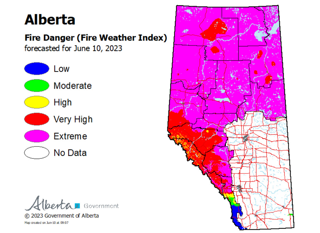
Find wildfire forecasts, weather maps and information about how fire danger is monitored in Alberta https://www.alberta.ca/fire-weather-and-forecasts.aspx
Wildfire Situation | June 10, 2023
Since January 1, there have been 40 wildfires in the Grande Prairie Forest Area (GPFA) burning over 136,000 hectares.
There are six wildfires in the Grande Prairie Forest Area. Of these fires, three are classified as out of control (OC), one is being held (BH) and two are under control (UC). To see a map of the wildfires in the Grande Prairie Forest Area and across the province please click here.
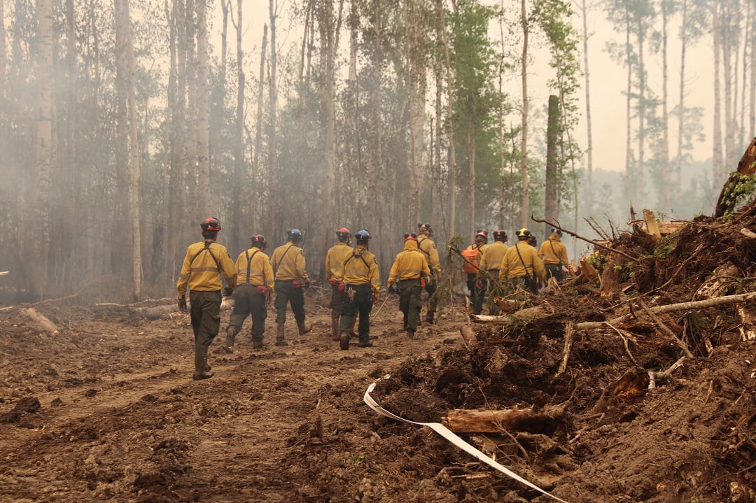
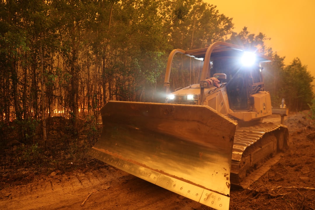
GWF039 At this time, a crew with a helicopter bucketing are working on wildfire (GWF039) located approximately 60 kilometres southwest of Grovedale. This wildfire is classified as out of control (OC) and is estimated to be 120 hectares in size. Today, heavy equipment and crews have been deployed to this wildfire and will be working with a helicopter bucketing.
A trough sitting near the GWF-039 location will transition into a cold front through the day as it tracks to the east, causing current SW-W winds to shift to the NW early this afternoon (1-3 PM). Showers and TRW today near the trough/cold front should end near midnight. Fair and stable Sunday and Monday as high pressure builds in from the west. A low will move over central Alberta on Tuesday which should give significant rainfall to the region through Wednesday.
GWF035 & GWF038 - Boone Lake Complex GCX002
The Boone Lake Complex is made up of two fires and the total area involved is 6,200 hectares. A team has been assigned to this complex. Currently, 50 firefighters along with heavy equipment, air tankers and a helicopter bucketing operations continue to work to contain this wildfire.
GWF035 is located 20km north of Valhalla Center near the northeast side of Boones Lake. This wildfire is estimated to be 1,200 hectares in size and is classified as Out Of Control (OC). Today a 22 person unit crew from Boise Idaho has been deployed to this wildfire. Air tankers will be on north and south flank reinforcing the guard.
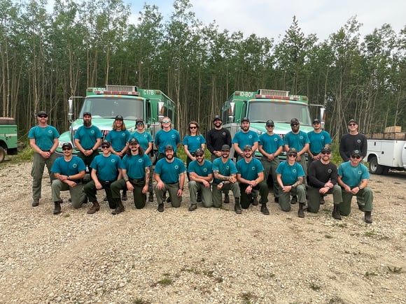
(22 person Unit crew - USA hotshot crews from Boise Idaho)
GWF018
This wildfire is currently classified as out of control (OC). For more information about this fire please visit the Peace River Forest Area Update.
GWF027 & GWF040 - Eagle Complex WCX001
GWF040 is listed out of control at 3.0 hectares. Two unit crews with assistance from army personnel are making progress in securing containment guard around this wildfire. GWF 027 This wildfire is classified as out of control (OC) and is now part of the Eagle Complex which is being managed by the Whitecourt Forest Area. For the most recent updates visit the Whitecourt Forest Area Update.
GWF017 & GWF023, GWF019 - Sturgeon Lake Complex GCX001
The Sturgeon Lake Complex is made up of three fires and the total area involved is 28,802 hectares. With windy weather, an increase of smoke from interior areas of the wildfires and along the perimeter may become more visible. Helicopters with buckets will action these areas and firefighters will continue to extinguish ground fires.
The interior of active wildfires can flare up as previously unburnt vegetation catches fire. This is a normal occurrence. Firefighters are monitoring these active fires and are working to put out hot spots. There is no need to report flame or smoke in these areas.
As of June 1, 2023 the status of the wildfires within the Sturgeon Lake Complex has been updated to under control. Under control means that suppression efforts have ensured the wildfire will not spread any further. Firefighters remain on alert for new wildfires and continue to monitor those under control.
GWF017 is estimated to be 5,752 hectares in size and classified as under control (UC).
GWF023 is estimated to be 3,869 hectares in size and classified as under control (UC).
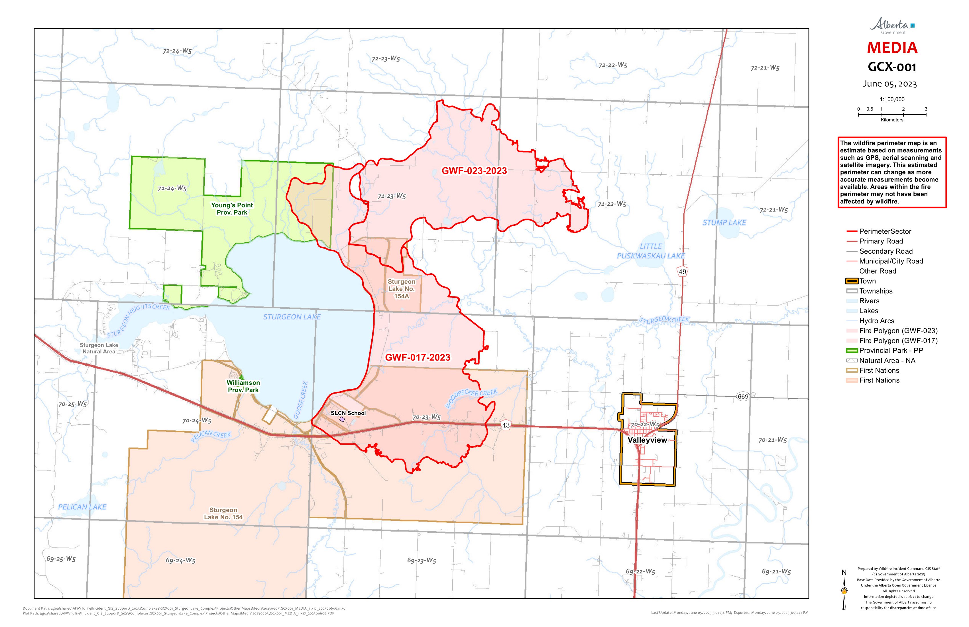
GWF019 - Bald Mountain Fire is 19,435 hectares in size and classified as being held (BH). This fire is approximately 17 km west of Highway 40. This wildfire has been determined to be a lightning cause fire.
Alberta Forestry, Parks and Tourism, in its mandate to prevent and suppress wildfires within the province is required to reclaim disturbed forest land caused by wildfire suppression operations. Wildfire reclamation is required to prevent or reduce the potential of soil erosion and ensure soil stabilization on or near the fire line.
AIRCRAFT NEAR WATER
Depending on the location of a wildfire, firefighting aircraft may need to use water from nearby lakes as a source of water to help fight wildfires. Often, these aircraft arrive without advanced warning. If you are in the water and see an aircraft coming in to collect water, please move within 30 m from the shore so these aircraft can safely resume firefighting efforts. Aircraft are large and require space to collect water, without interference from people and boats. Help us by staying out of the way when aircraft are around. Click here to learn more.
A FIRE RESTRICTION is now in effect. Report wildfires by calling 310-FIRE (3473).
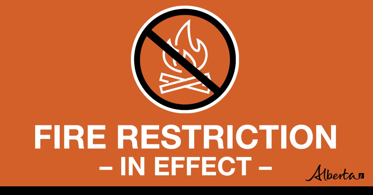
Under this FIRE RESTRICTION:
- All outdoor wood fires in backcountry and random camping areas on public land
- Charcoal briquettes in backcountry and random camping areas on public land
- The use of fireworks and exploding targets
- Wood campfires on private land and in designated campgrounds
- Charcoal briquettes on private land and in designated campgrounds
- Propane/natural gas-powered appliances
- Open flame oil devices (e.g., turkey deep fryers, tiki torches)
- Indoor wood fires contained within a device with a chimney and spark arrestor
- All appliances must be CSA approved and used per manufacturer’s standards
.png?width=659&height=371&name=wildfire%20app%20(2).png)


Kelly Burke | Wildfire Information Officer
(780) 832 7235
Phone: 1-866-394-3473