

The local fire department and wildland firefighters with a helicopter are fighting a wildfire in Canyon Creek. SWF027 was spotted by a Fire Lookout at 3:12 pm this afternoon. SWF027 is classified as out of control and is estimated to be three hectares in size.
Wildfire danger
The wildfire danger in the Slave Lake Forest Area is HIGH.
Firefighters urge everyone to use caution when working or recreating in the outdoors, as areas of dead dry grass will ignite easily and under the windy conditions, a fire will spread rapidly.
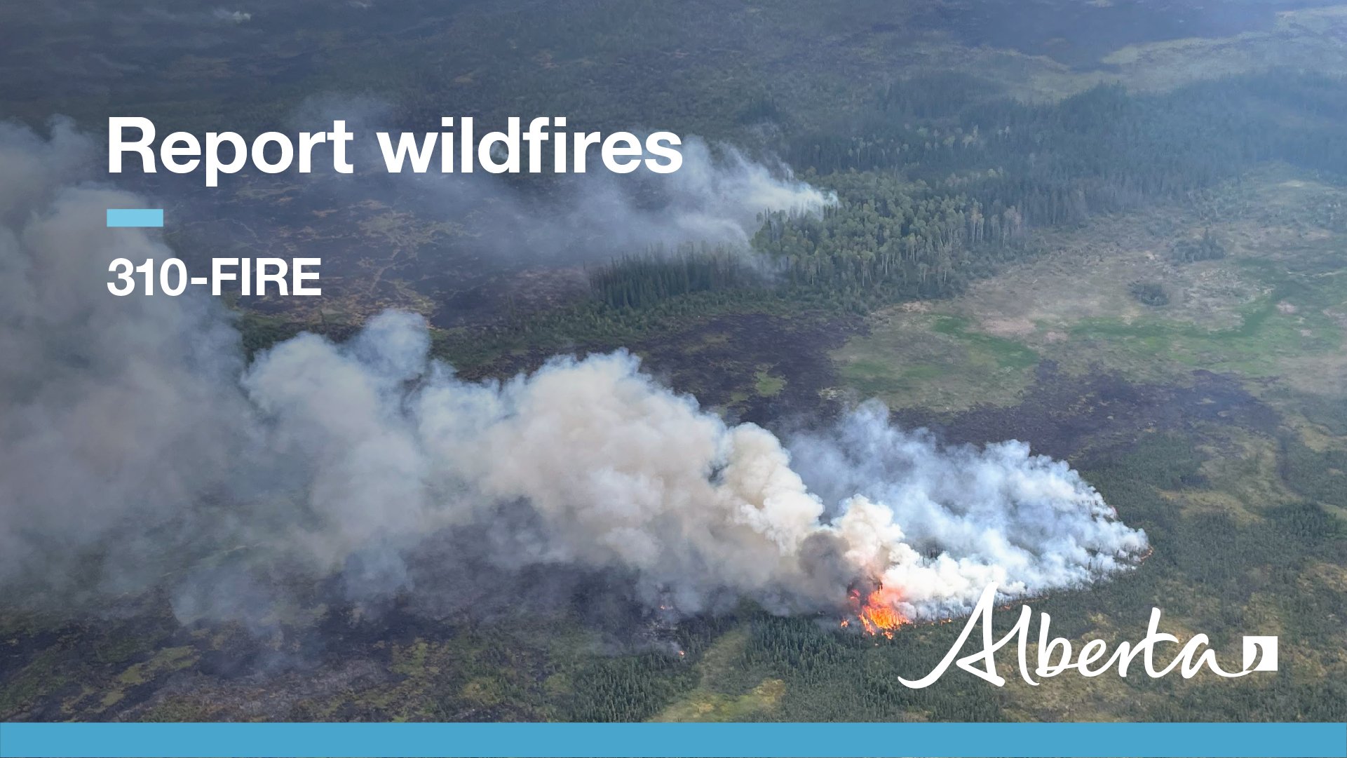
Report wildfires immediately by calling 310-FIRE (3473).Fire Lookouts are on high alert, watching for smoke and firefighters with helicopters and heavy equipment are ready to respond to any new wildfires that start.
Weather
Today's forecast is calling for a high of 11-15 degrees. For areas around and south of Lesser Slave Lake the winds from the west will be gusting up to 45 kilometres per hour. For areas north of Lesser Slave Lake the winds will be from the west at 20 kilometres per hour.

NOTE: Areas of the map that are white mean there is still snow on the ground. Once snow free conditions occur the wildfire danger will be visible on the map.
Under this restriction:
- Existing fire permits are suspended and no new fire permits will be issued.
- Safe wood campfires within fire rings in campgrounds and in private backyards are allowed.
Prohibited in the backcountry and on random camping areas:
- Wood campfires.
- Charcoal briquette barbeques.
- The use of fireworks and exploding targets.
Allowed in designated campgrounds on private and public land, designated day use areas and in backyards of privately owned land:
- Safe wood campfires in designated and acceptable fire rings and fire pits.
- Charcoal briquette barbeques.
- Propane/ natural gas-powered appliances CSA approved or UL certified.
The fire restriction will remain in effect until conditions improve.
Stay informed of fire restrictions and fire bans in your area by checking www.albertafirebans.ca or by calling 1-866-394-3473.
Click the items below for detailed information regarding the Fire Restriction in the Forest Protection Area.
Big Lakes County: A Fire Restriction is now in effect for Big Lakes County Fire Permit Area. Fire Restriction information is posted on Big Lakes County Facebook page and www.albertafirebans.ca
To view wildfires on a map, download the AB Wildfire App or visit the Alberta Wildfire Status Dashboard
During times of low to moderate wildfire danger, updates will be issued weekly. However, when the danger escalates to high or extreme levels, updates will be provided daily. Unless conditions change, you can expect your next wildfire update on April 22, 2024. If you have any questions contact Leah Lovequist, the Wildfire Information Officer for the Slave Lake Forest Area, at 780-849-0945.
Prevent wildfires
Do your part to prevent wildfires this spring.
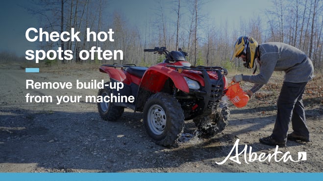
When riding your off-highway vehicle, stop frequently to remove any build-up of debris from your machine. Grass, muskeg, moss or other debris can begin to smoulder and drop to the ground as you're riding and spark a wildfire. Always carry firefighting equipment such as a shovel, extinguisher and bucket when you ride.
When having a campfire, keep it small, safe and always attended. When you are leaving the site or going to bed, your campfire must be extinguished. Soak it, stir up the ashes, soak it again to ensure it is out. A campfire is out when you can no longer feel heat from the ashes.
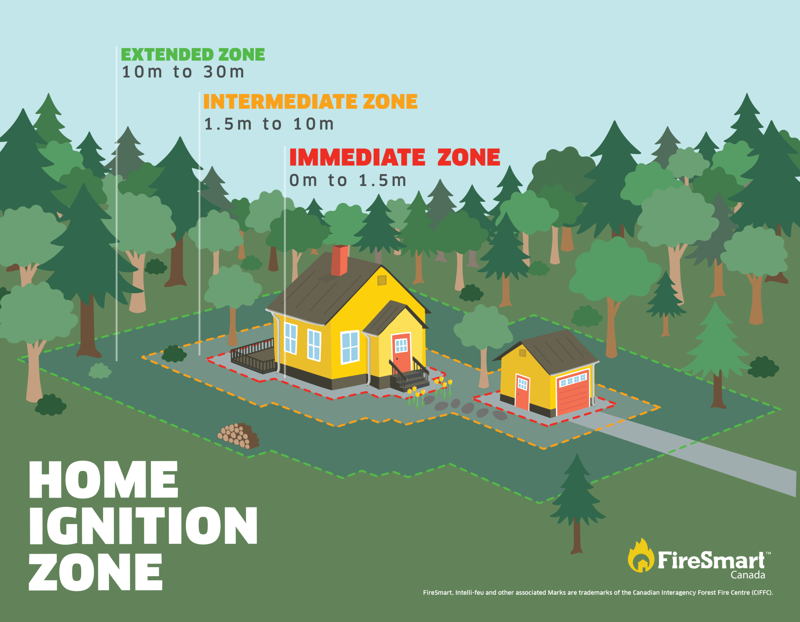
FireSmart Alberta
The wildfire dashboard provides up-to-date wildfire information at the click of a button. This interactive tool displays important statistics on the number of active wildfires in the province, sizes, locations, suspected causes and more. The dashboard builds on the former wildfire status map by displaying the most frequently accessed information in one convenient location.
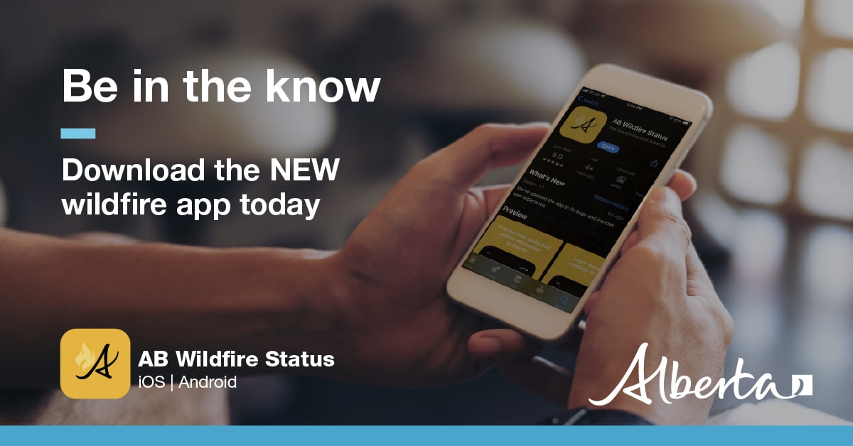
Download the Alberta Wildfire app and get access to accurate, real-time information on wildfires in your area. You can also find information on fire advisories, restrictions and bans across the province and much more all on your mobile device. Available for Apple and Android.
Subscribe to the Slave Lake Forest Area Wildfire Update to receive an email when new information is posted.
Join the conversation on Facebook, Twitter or Instagram.
![]()
![]()
![]()
If you have any questions, please contact:
Wildfire Information Officer
Leah Lovequist
Mobile:780-849-0945
Leah.Lovequist@gov.ab.ca
RELATED INFORMATION
Websites: