
- Wabasca 780-891-3860
- Slave Lake 780-849-7377
- High Prairie 780-523-6619

Since January 1, 2023, in the Forest Protection Area of Alberta, there have been 1,090 wildfires which burned 2,214,816.78 hectares.
SWF116 occurred on July 7th and is located approximately 22 kilometres northwest of Chipewyan Lake. The lightning caused wildfire is classified as being held and is 10,670.00 hectares in size. Being held means with the current weather conditions and resources, the wildfire is not anticipated to grow past expected boundaries.
The wildfires in the Saulteaux Complex (SWF 085, SWF086 and SWF087) have been extinguished and the wildfires in the Grizzly Complex (SWF057, SWF063, SWF064 and SWF095) are under control.
Carrot Lake Fire (SWF081) is located at Chipewyan Lake. SWF081 is being held and has burned 33,138.0 hectares. Being held means with the current weather conditions and resources, the wildfire is not anticipated to grow past expected boundaries.
SWF068 is located approximately six kilometres northwest of Peavine Metis Settlement. The wildfire is under control and has burned 143,039.00 hectares. Firefighting operations are being conducted by the Peace River Forest Area. For information on this wildfire visit the Peace River Wildfire Update.
SW060 is located 2.3 kilometres east of the border of the Whitefish Lake First Nation. This wildfire is under control and has burned approximately 43,981 hectares.
To view wildfires on a map, download the AB Wildfire App or visit the Alberta Wildfire Status Dashboard
NOTE: The wildfire perimeter is an estimate based on measurements such as GPS, aerial scanning and satellite imagery. This estimated perimeter can change as more accurate measurements become available. Areas within the fire perimeter may not have been affected by wildfire.


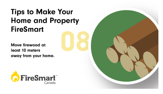
FireSmart
Visit firesmartcanada.ca to learn how you can reduce the risk of wildfire to your home, property and community.
The wildfire dashboard provides up-to-date wildfire information at the click of a button. This interactive tool displays important statistics on the number of active wildfires in the province, sizes, locations, suspected causes and more. The dashboard builds on the former wildfire status map by displaying the most frequently accessed information in one convenient location.
Download the Alberta Wildfire app and get access to accurate, real-time information on wildfires in your area. You can also find information on fire advisories, restrictions and bans across the province and much more all on your mobile device. Available for Apple and Android.
Subscribe to the Slave Lake Forest Area Wildfire Update to receive an email when new information is posted.
Join the conversation on Facebook, Twitter or Instagram.If you have any questions, please contact:
Leah Lovequist
Wildfire Information Officer
Mobile:780-849-0945
Leah.Lovequist@gov.ab.ca
RELATED INFORMATION
Websites:
