The wildfire danger in the Grande Prairie Forest Area remains EXTREME.
Alberta Wildfire is assisting the County of Grande Prairie and the MD of Greenview with a mutual aid fire that started four km east of the town of Teepee Creek. The Kleskun Creek Fire/GCU 007 is 1,382 hectares and is listed as out of control. This wildfire has travelled in an eastward direction and has spread across the river for about a kilometer and burned approximately 80 hectares on the east side.
Overnight, a night vision helicopter worked on this wildfire along with a wildfire crew and heavy equipment to secure perimeter on priority hotspots. Heavy bucketing occurred with 42 bucket drops of 14, 700 gallons of water on flare ups.
Alberta wildfire has mobilized an incident camp and additional resources that will be arriving today and tomorrow.

(GWWL- 212-night vision helicopter)
Night vision helicopters
Led by trained firefighters these helicopters are used to fight wildfires at night. Each helicopter is equipped with a snorkel and a tank. They can draw water from shallow water sources with depths ranging from 20 to 30 inches and the tanks have holding capacities of 900 to 3700 litres.
.png?width=659&height=345&name=WF_Social-images%20(3).png)
To help prevent wildfires in the coming days:
Grasses and other fine fuels can ignite quickly under windy conditions. If you are operating an off-highway vehicle (OHV) use caution, clear your hot spots, and carry a collapsible bucket and shovel. Sparks from rocks hitting heavy machinery, dragging chains and welding operations are all high-risk activities.
Do not operate equipment in tall grass and keep watch of your surroundings and ensure you have sufficient firefighting equipment and water available.
Industry is reminded that build-up of carbon within the flare stacks result in hot embers being released into surrounding dry grass. Inspect and maintain the ignition devices to ensure operation is within appropriate parameters.

Wildfire information
Since January 1, 2024, 30 wildfires have been reported in the Grande Prairie Forest Area burning nearly 182.84 hectares.
GWF030 was detected 40 kilometers south of Grande Prairie. This wildfire is now listed as being held at 0.25 hectares. Currently, three fire fighters along with a helicopter are responding to this wildfire.
GWF029 This wildfire started 13 km northwest of the town of Valhalla. This wildfire is now listed as being held at 100 hectares. Today was a good firefighting day and crews were able to completely secure the perimeter and are now working to extinguish the fire. There are 26 firefighters working with pump and hose, hand tools and a helicopter bucketing hotspots within the perimeter boundaries.
2023 carryover wildfires
There are currently three carryover fires from the 2023 wildfire season. All carryover wildfires are listed as under control and are being monitored by firefighters.
Smoke from British Columbia wildfires are impacting much of the provincial air operations today. To see forecasted smoke, you can visit FireSmoke.ca.

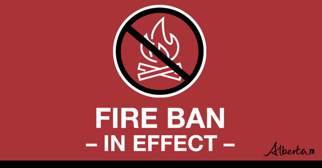
A fire ban is in place for the Grande Prairie Forest Area due to dry conditions and expected weather.
Under this ban:
• All existing fire permits are suspended (or cancelled)
• No new fire permits will be issued
Prohibited:
• All outdoor wood fires are banned, including wood campfires on public lands, wood campfires on private land and provincial campgrounds
• Backyard firepits
• BBQ charcoal briquettes
• The use of fireworks and exploding targets
Allowed:
• Propane/natural gas-powered appliances
• Open flame oil devices (e.g., turkey deep fryers, tiki torches)
• Indoor wood fires contained within a device with a chimney and spark arrestor
• All appliances must be CSA approved and used per manufacturer’s standards
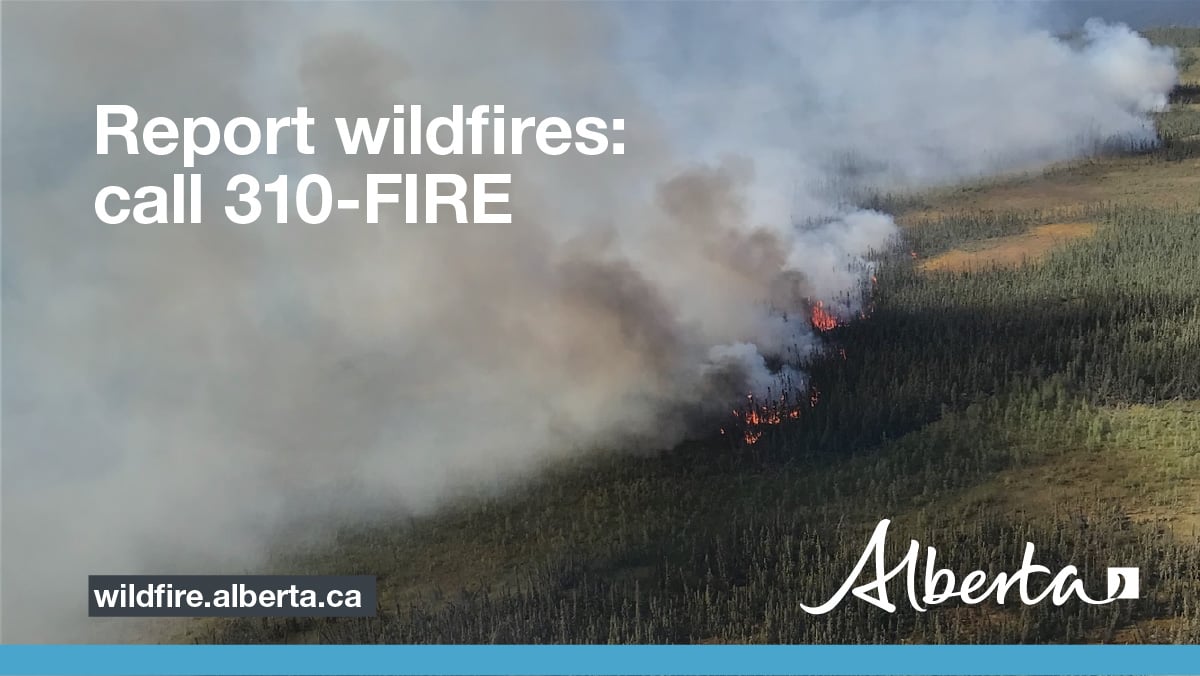
If you see a wildfire, report it immediately by calling 310-FIRE.
The fire ban will remain in effect until conditions improve.
-
For more information: Fire Restriction Fact Sheet
- MO-015 Fire Restriction (revised boundary) and MO-016 Fire Ban map

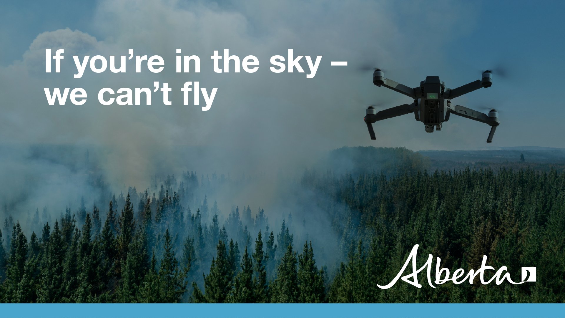
Drones are not allowed to be flown within five nautical miles (or 9.3 kilometers) of a wildfire. If you fly a drone within this distance of a wildfire, it immediately halts aerial firefighting operations because it is not safe for aircraft to be flying with drones in the air. Interfering with wildfire control operations can land you a court appearance.
See Transport Canada's Forest fires and drones fact sheet for more information.
.png?width=1200&height=676&name=wildfire%20app%20(2).png)
Download the Alberta Wildfire app today and get access to real-time information on wildfires in your area. You can also find information on reporting wildfire, fire bans and fire updates across the province and much more all on your mobile device.
Available for Apple and Android.
To view wildfires on a map, download the AB Wildfire App or visit the Alberta Wildfire
Getting the information at the right time helps you respond quickly and
appropriately. Get alerts by downloading the Alberta Emergency Alert app and visit Alerts and advisories to learn what other alerting services are available.
When wildfire danger is low to moderate, updates will be issued weekly. However, when the danger escalates to high or extreme levels, updates will be provided daily if fires are active and/ or out of control. Expect your next wildfire update on May 13, 2024, at 9 a.m. unless conditions change.
Kelly Burke | Wildfire Information Officer
(780) 832-7235
- Alberta Wildfire
- Alberta Fire Bans
- FireSmart in Alberta
- Alberta Emergency Alerts
- Air Quality Health Index
- Wildfire Smoke and Your Health
- 511 Road Reports
- Emergency Preparation
Subscribe to the Grande Prairie Forest Area wildfire update to receive an email when new information is posted.
Phone: 1-866-394-3473


