
The wildfire danger is HIGH for the Grande Prairie Forest Area.

Wildfire Situation
There are currently ten wildfires burning in the Grande Prairie Forest Area. Of these fires, one is classified as out of control (OC), one is being held (BH) and eight are under control (UC).
Since January 1st, there have been 48 wildfires in the Grande Prairie Forest Area (GPFA) burning nearly 141,383 hectares. There have been no new wildfires in the last 24 hours. Firefighters remain on alert for new wildfires and continue to monitor existing ones.
For more information on the current wildfire situation, visit our Alberta Wildfire Status Dashboard.
Forecast of wildfire smoke can be found at Fire Smoke Canada.
GWF035 & GWF038 - Boone Lake Complex GCX002
The Boone Lake Complex is made up of two wildfires.
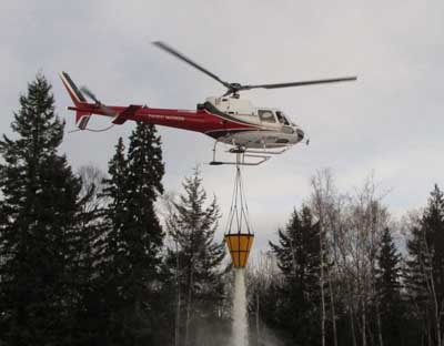
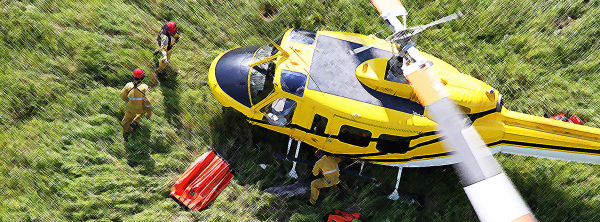
Firefighters continue to work on dozer guards and containment lines inside the perimeter of these wildfires. They are also monitoring for spot fires outside of the perimeter. The Boone Lake Complex is 95% contained with 55% controlled. Minimal spread is expected for the next several days and firefighters are making good progress with the fair weather we have been receiving.
There are 115 firefighters, four helicopters with buckets and various types of heavy equipment working on this complex.
GWF035 is located 20 kilometers north of Valhalla Center, near the northeast side of Boone Lake. This wildfire is now considered to be 100 percent contained with a guard and is estimated to be 872 hectares in size. This wildfire started June 4, 2023 and is classified as under control (UC).
GWF038 is approximately ten kilometers west of Deadwood Lake, in Township 77-10. This wildfire is now considered to be 90 percent contained with a guard and is estimated to be 7,148 hectares in size. This wildfire started June 6, 2023 and is classified as out of control (OC). This wildfire is still active with many hot spots and visible flame and smoke.
Firefighting crews are working with helicopters and buckets to extinguish hot spots. Please stay out of the area as wildfire suppression operations are ongoing.
GWF018 is classified as being held (BH) at 49,327 hectares. It is being managed by the Peace River Forest Area. For more information about this wildfire, visit the Peace River Forest Area Update.
GWF039 is located approximately 60 kilometers southwest of Grovedale. It is classified as under control (UC) at 94 hectares. It was caused by lightning. Firefighters will continue to monitor this fire and extinguish hot spots when detected.
GWF041 located 7.5 kilometers northwest of Moonshine Lake Provincial Park. It is classified as under control (UC) at 22.5 hectares. It was caused by lightning. Firefighters will continue to monitor this fire and extinguish hot spots when detected.
GWF027 & GWF040 - Eagle Complex (WCX001)
GWF027 is classified as under control (UC) at 54,988 hectares.
GWF040 is classified as under control (UC) at 1.3 hectares.
These wildfires are part of the Eagle Complex and are being managed by the Whitecourt Forest Area. For more information about this complex, visit the Whitecourt Forest Area Update.
GWF017, GWF019 & GWF023 - Sturgeon Lake Complex (GCX001)
As of June 1, 2023 the wildfires within the Sturgeon Lake Complex are classified as under control (UC).
GWF017 is classified as under control (UC) at 5,479 hectares.
GWF019 is known as the Bald Mountain Fire. It is classified as under control (UC) at 19,435 hectares. This wildfire is approximately 17 kilometers west of Highway 40. It was caused by lightning.
GWF023 is classified as under control (UC) at 3,889 hectares.
The interior of active wildfires can flare up as previously unburnt vegetation catches fire. This is a normal occurrence. Firefighters are monitoring these active fires and are working to put out hot spots. There is no need to report flame or smoke in these areas.
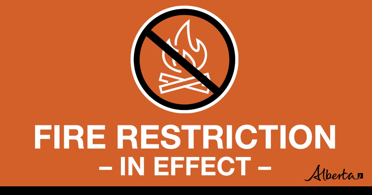
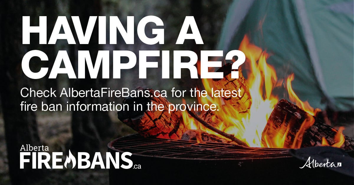
A FIRE RESTRICTION remains in effect for the northern part of the Grande Prairie Forest Area, within the Forest Protection Area (FPA) of Alberta. Cities, towns, villages, summer villages and National Parks are exempt from this restriction.
Please visit albertafirebans.ca to view a map of the impacted area. This fire restriction will remain in effect until conditions improve across the province.
Prohibited:
- All outdoor wood fires in backcountry and random camping areas on public land
- Charcoal briquettes in backcountry and random camping areas on public land
- The use of fireworks and exploding targets
Allowed:
- Wood campfires on private land and in designated campgrounds
- Charcoal briquettes on private land and in designated campgrounds
- Propane/natural gas-powered appliances
- Open flame oil devices (e.g., turkey deep fryers, tiki torches)
- Indoor wood fires contained within a device with a chimney and spark arrestor
- All appliances must be CSA approved and used per manufacturer’s standards
Report wildfires by calling 310-FIRE (3473)

Emergency preparedness helps everyone. Being Emergency Ready means we are better prepared to protect our families and communities during emergencies by knowing the risks, making a plan and building an emergency kit.
For more wildfire information, please contact:
Information line: 1-866-394-3473