The wildfire danger in the Rocky Mountain House Forest Area is VERY HIGH.
Report smoke or fire in the forest by calling 310-FIRE (3473).

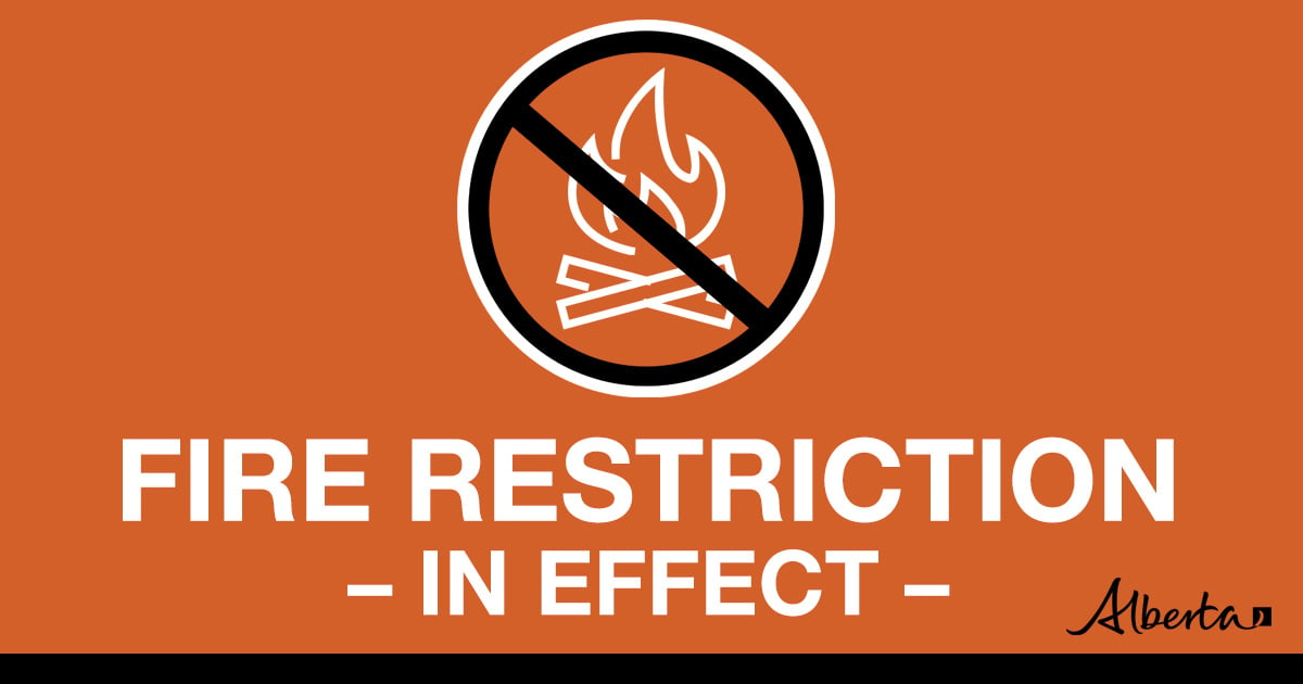
A fire restriction is now in place for portions of the Rocky Mountain House Forest Area.
Under the restriction:
-
Existing fire permits are suspended;
-
All outdoor fires presently burning under permit must be extinguished, unless approved to continue by a Forest Officer;
-
Wood campfires in backcountry or random camping areas are prohibited;
-
Safe wood campfires within fire rings in campgrounds and backyard fire pits are allowed.
- Wood campfires in backcountry or random camping areas;
- Fireworks and exploding targets.
- Safe wood campfires within fire rings in public and private campgrounds
- Backyard fire pits on private land
- Charcoal briquette barbeques
- Gas and liquid powered appliances (stoves, lanterns, fire rings)
- Open flame oil devices (turkey deep fryers, tiki torches)
- Catalytic or infrared-style heaters
- Indoor wood fires
The restriction applies south of highway 591 and west of the Forestry Trunk Road (highway 734) in the Rocky Mountain House Forest Area. The remainder of the area is still under a fire advisory. To view a detailed map visit albertafirebans.ca

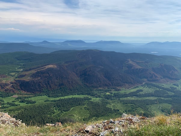
The status of the Black Mountain Fire was changed to under control on Aug. 1, 2022.
WILDFIRE SITUATION
RWF-038, Black Mountain Fire
This wildfire was discovered on July 19 and is located 19 km west of Nordegg. It is classified as under control, at 480 hectares.
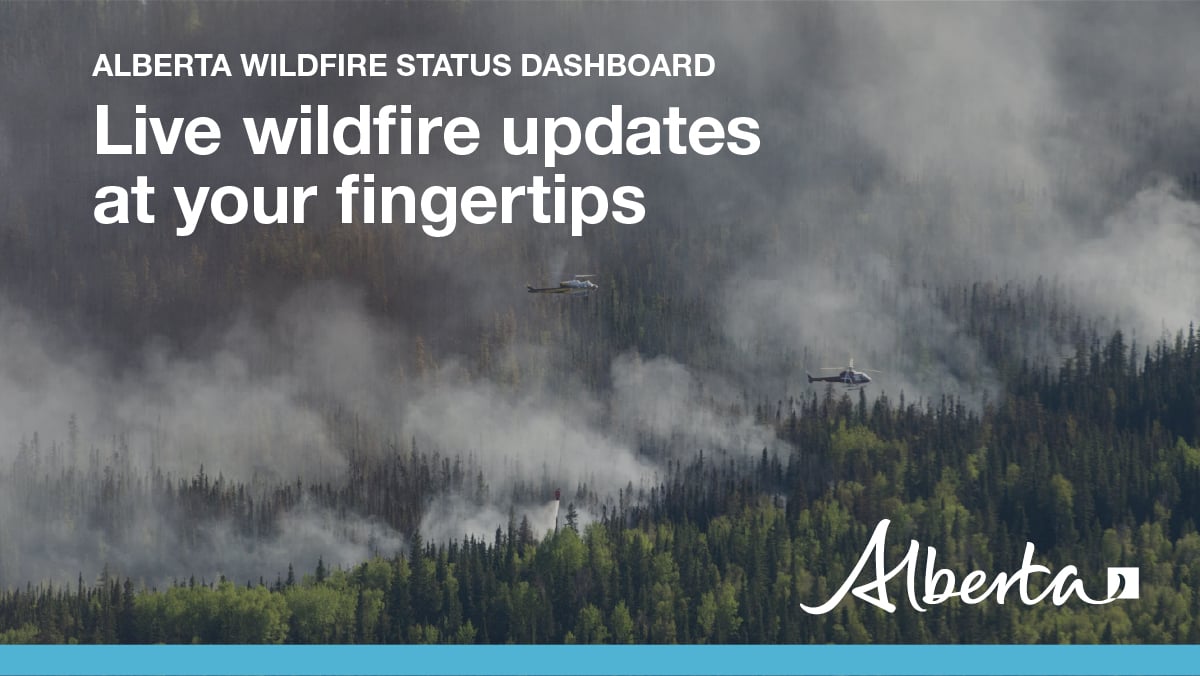
Firefighters are working on extinguishing hotspots. Helicopters are supporting firefighters with bucketing operations.
Helicopters may be scooping water from Goldeye Lake. Please be aware and allow them space to work.
Haven Road remains closed to the public to allow for safe firefighting operations.
Since January 1, there have been 46 wildfires in the Rocky Mountain House Forest Area which have burned 519 hectares.
Since January 1, there have been 769 wildfires in Alberta which have burned 105,982 hectares.

NEW WILDFIRE DASHBOARD
The new wildfire dashboard provides up-to-date wildfire information at the click of a button. This interactive tool displays important statistics on the number of active wildfires in the Forest Protection Area of Alberta, sizes, locations, suspected causes and more.
The dashboard builds on the former wildfire status map by displaying the most frequently accessed information in one convenient location.
.png?width=1200&name=wildfire%20app%20(2).png)
WILDFIRE INFORMATION
Download the Alberta Wildfire app today and get access to accurate, real-time information on wildfires in your area. You can also find information on fire advisories, restrictions and bans across the province and much more all on your mobile device.
Available for Apple and Android.
Before heading out, please check albertafirebans.ca to determine whether there are any fire advisories, fire restrictions or fire bans in effect for your destination.
For more information contact:
Provincial Information Officer780-420-1968
Websites:
- Alberta Wildfire
- Alberta Fire Bans
- FireSmart in Alberta
- Alberta Emergency Alerts
- Air Quality Health Index
- Wildfire Smoke and Your Health
- 511 Road Reports
- Emergency Preparation
Social Media:
