

Due to recent precipitation throughout the region and lower temperatures, the wildfire danger in the Rocky Mountain House Forest Area is low, this means that fire can still ignite but is not expected to spread to deeper vegetation layers or larger fuels, such as trees.
-png.png?width=601&height=464&name=map%206%20aug%20(002)-png.png)
Fire danger is calculated based on environment conditions, how a fire will behave and how much damage a fire could do. Below is a map that shows those the current conditions, visit fire danger for more information and on how to interpret these maps.
RCX001 - KISKA COMPLEX (RWF064, RWF063 and RWF062)
The Kiska Complex is located west (RWF063 and RWF062) and southwest (RWF064) of Nordegg. The wildfires in the Kiska Complex do not currently threaten any communities and have all been determined to be caused by lightning.
RWF064 remains classified as OUT OF CONTROL and is 12 km northwest of the Ram Falls Provincial Park boundary and 25 km south of Nordegg. This wildfire is estimated to be 6,996 ha in size.
RWF063 is classified as BEING HELD which means that means this fire is not expected to grow beyond certain boundaries under the current conditions. It is located approximately 17 km west of fire RWF062 and 50 km west of Nordegg. This wildfire is estimated to be 1,962 ha in size. This wildfire has shown very little activity throughout the week.
RWF062 is classified as OUT OF CONTROL and is located approximately 5 km north of the Crescent Falls Provincial Recreation Area (PRA), 9 km northwest from the Big Horn Reserve and 20 km west of Nordegg. This wildfire is now estimated to be 4,936 ha in size.
An Australian Incident Management Team arrived today to oversee the complex. With their arrival, the total number of personnel has increased to 141 firefighters and support staff. There are still 10 helicopters and 38 pieces of heavy equipment assigned to assist with suppression efforts.
The continuation of cooler temperatures and precipitation is maintaining minimal fire behaviour and spread. This precipitation is expected to continue and will likely keep fire behaviour low for the next few days. Crews will take advantage of these conditions to make as much progress possible in suppressing the wildfire and reducing further spread.
Firefighters and heavy equipment continue work on building containment lines around the east and south sides of RWF064, maximizing use of natural features in the area. While the rain is helpful in the immediate needs, it does bring its challenges to heavy equipment and personnel working conditions. Heavy equipment was able to work overnight to continue progress on containment lines, but firefighters could not due to the significant rainfall and muddy conditions.
MAPS Public maps for this complex are available, including the RWF062 and RWF063 public map and the RWF064 public map.
WEATHER FORECAST Tomorrow, the temperature is expected to reach 17C. Winds will be blowing from the east, southeast 10 to 15 km/h. There is a chance of precipitation across the complex.
SMOKE AND ASH At times, the region may see falling ash and smoky air conditions. To see forecasted smoke, please visit FireSmoke.ca. If you have smoke related health concerns, please visit or contact Alberta 811.
UPDATED ROAD CLOSURE The Forestry Trunk Road (Highway 40) closure has been adjusted and the closure is now in effect between the Ram Falls Airport and Township Road 38-3A (Northfork Road). This closure is in place to ensure safety for travelers and personnel working on the wildfire. For the latest road conditions, please check Alberta 511.
CAMPGROUND CLOSURES Alberta Parks has implemented closures for Ram Falls Provincial Park, Peppers Lake Provincial Recreation Area (PRA), Peppers Lake Staging Area PRA, Elk Creek PRA Campground, Elk Creek Fish Pond PRA, Alymer PRA and Crescent Falls PRA. Visit Park Closures on AlbertaParks.ca for more information.
PUBLIC LAND CLOSURES The Wapiabi Provincial Recreation Area and the Southern portion of the Blackstone/Wapiabi Public Land Use Zone, and the northwest portion of the Kiska/Wilson Public Land Use Zone are closed. This closure is in place to ensure public safety. Visit public land closures and advisories for more information.

Expand (click) to view the full public closure map.
ROCKY MOUNTAIN HOUSE FOREST AREA UPDATE
Since January 1, 2024, there have been 74 wildfires in the Rocky Mountain House Forest Area, which have burned 13,879.08 hectares (ha).
There are currently seven active wildfires in the Rocky Mountain House Forest Area.
RWF067 is classified as UNDER CONTROL and estimated to be 0.50 ha in size. This wildfire is located within the Brazeau Canyon Wildland Provincial Park and the cause of this wildfire remains under investigation. This wildfire will be monitored for activity and actioned if required.
RWF060 and RWF061 are classified as UNDER CONTROL. Both are estimated to be 0.01 ha in size. These wildfires were detected on July 22, and both were caused by lightning. These wildfires will be monitored for activity and actioned if required.
RWF072 is classified as UNDER CONTROL and estimated to be 0.15 ha in size. This wildfire is located northwest of Wild Horse Provincial Recreation Area and the cause of this wildfire remains under investigation. This wildfire will be monitored for activity and actioned if required.
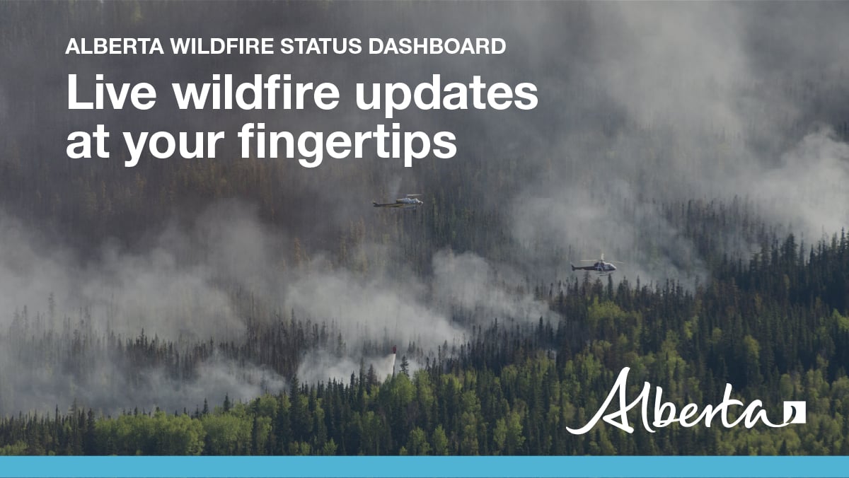
For the most up-to-date wildfire information, visit the Alberta Wildfire Status Dashboard.
Visit wildfire status definitions for more information.
WILDFIRE PREPAREDNESS
- Staying informed during emergencies can save your life. Protect yourself and your loved ones by downloading the Alberta Emergency Alert app to receive critical, life-saving alerts.
- You can also find out more information by contacting your community directly to find out where they post updated information during emergencies.
- Before you travel, check Alberta 511 for current road conditions to help you arrive to your destination safely.
- Visit FireSmart Alberta to learn more about the wildland-urban interface and how you can protect your home, neighbourhood or community from wildfire.

A fire ban is in place for the Rocky Mountain House Forest Area south of the Pembina River, due to dry conditions and expected weather. Please refer to Alberta Fire Bans for a detailed map.
Cities, towns, villages and summer villages, as well as federal lands (such as national parks), are exempt from this ban. These jurisdictions have the authority to issue their own bans and may have complementary bans in place.
Under this fire ban:
- All fire permits are suspended or cancelled.
- No new fire permits will be issued.
- Some allowances can be made for essential agricultural and industrial burning, if approved by a forest officer.
Prohibited:
- All outdoor wood fires, including wood campfires on public land, private land, designated campgrounds, and backyard firepits.
- Barbeque charcoal briquettes.
- Fireworks and exploding targets.
Allowed:
- Propane/natural gas-powered appliances.
- Indoor wood fires inside a structure (such as a facility, building, tent or RV) and contained within a device with a chimney and spark arrestor).
- Open flame oil devices (such as deep fryers and tiki torches). All devices must be CSA approved and used per manufacturer’s standards.
If you see a wildfire, report it immediately by calling 310-FIRE (3473). The fire ban and restriction will remain in effect until conditions improve.
Stay up to date by visiting Alberta Fire Bans website or downloading the application onto your smartphone: Apple or Android.
PROVINCIAL WILDFIRE SUMMARY (as of 10:00 am on August 6, 2024)
- Since January 1, there have been 1,036 wildfires recorded in the Forest Protection Area that have burned 603,952 hectares (ha).
- There are currently 119 active wildfires in the Forest Protection Area. Of these wildfires, 15 are classified as out of control, 43 are classified as being held and 61 are under control.
The fire danger is low through the western and central Alberta. It is moderate with pockets of high to very high in the northeast boreal and moderate to high in the agricultural zones.
For the most up-to-date wildfire information, visit the Alberta Wildfire Status Dashboard.
STAY INFORMED - ALBERTA WILDFIRE INFORMATION
For more information, please contact: