

The wildfire danger in the Rocky Mountain House Forest Area is high.
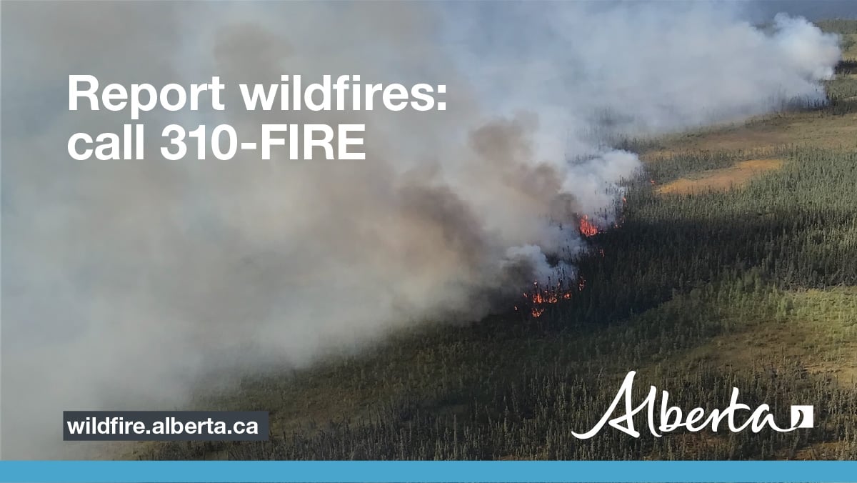
Report smoke or fire in the forest by calling 310-FIRE (3473).
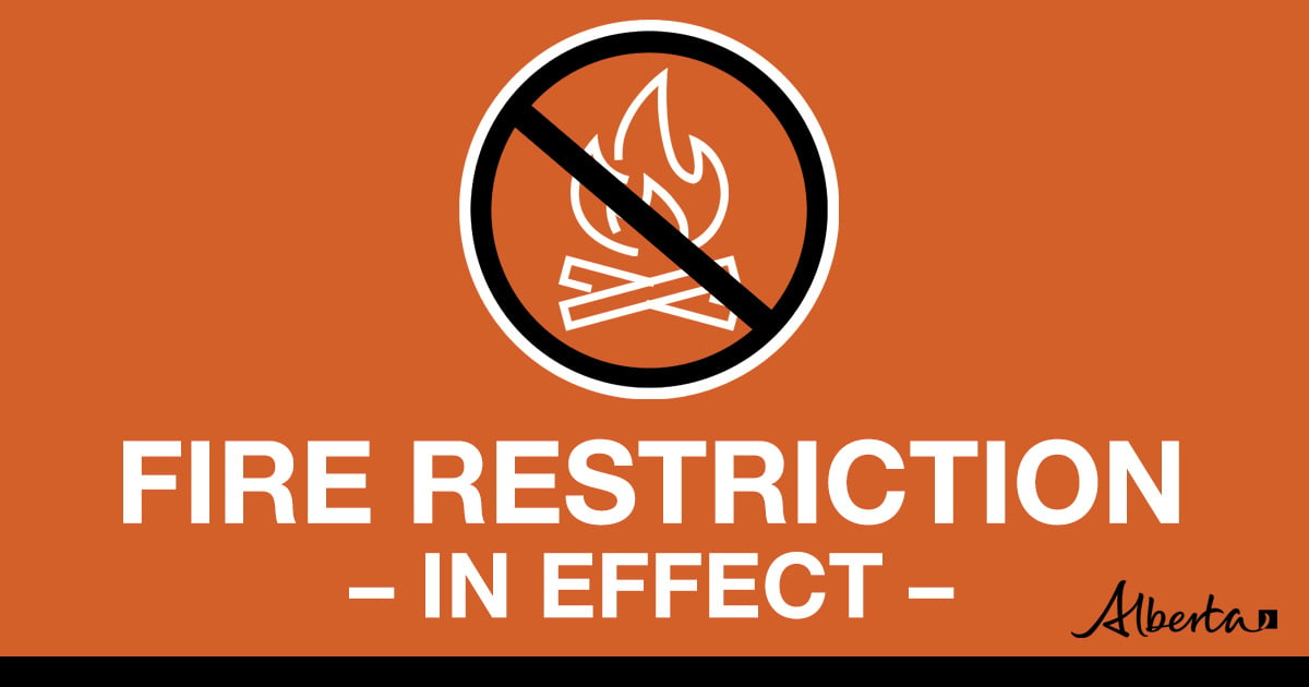
DETAILS OF FIRE RESTRICTION
A FIRE RESTRICTION remains in effect across much of the Forest Protection Area, including the Rocky Mountain House Forest Area.
Under this FIRE RESTRICTION:
- The Rocky Mountain House Forest Area will not be issuing fire permits
Prohibited:
- All outdoor wood fires in backcountry and random camping areas on public land
- Charcoal briquettes in backcountry and random camping areas on public land
- The use of fireworks and exploding targets
Allowed:
- Wood campfires on private land and in designated campgrounds
- Charcoal briquettes on private land and in designated campgrounds
- Propane/natural gas-powered appliances
- Open flame oil devices (e.g., turkey deep fryers, tiki torches)
- Indoor wood fires contained within a device with a chimney and spark arrestor
- All appliances must be CSA approved and used per manufacturer’s standards
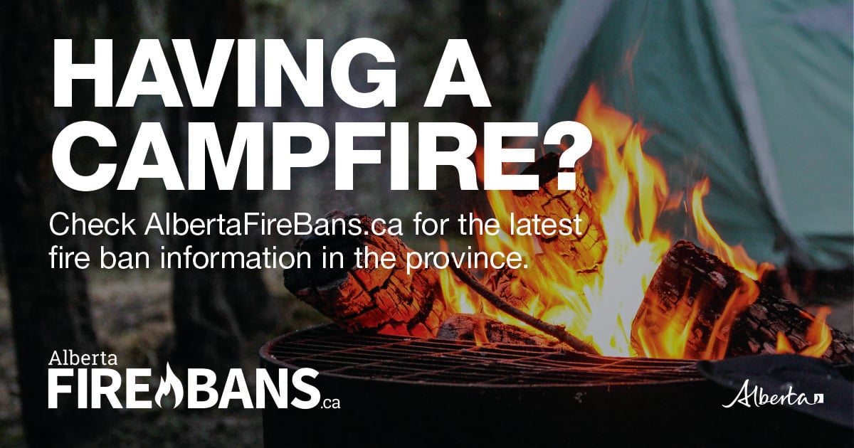
Please visit albertafirebans.ca to view a map of the impacted area. This fire restriction will remain in effect until conditions improve across the province.
ROCKY MOUNTAIN HOUSE FOREST AREA UPDATE
There are currently four wildfires burning in the Rocky Mountain House Forest Area. Two of these wildfires are out of control, and two are classified as being held. Since January 1, 2023, there have been 55 wildfires in the Rocky Mountain House Forest Area, burning a total of 120,545.15 hectares (ha).
Initial attack and lookout resources remain diligent with fixed detection and aerial patrols.
ACTIVE WILDFIRES
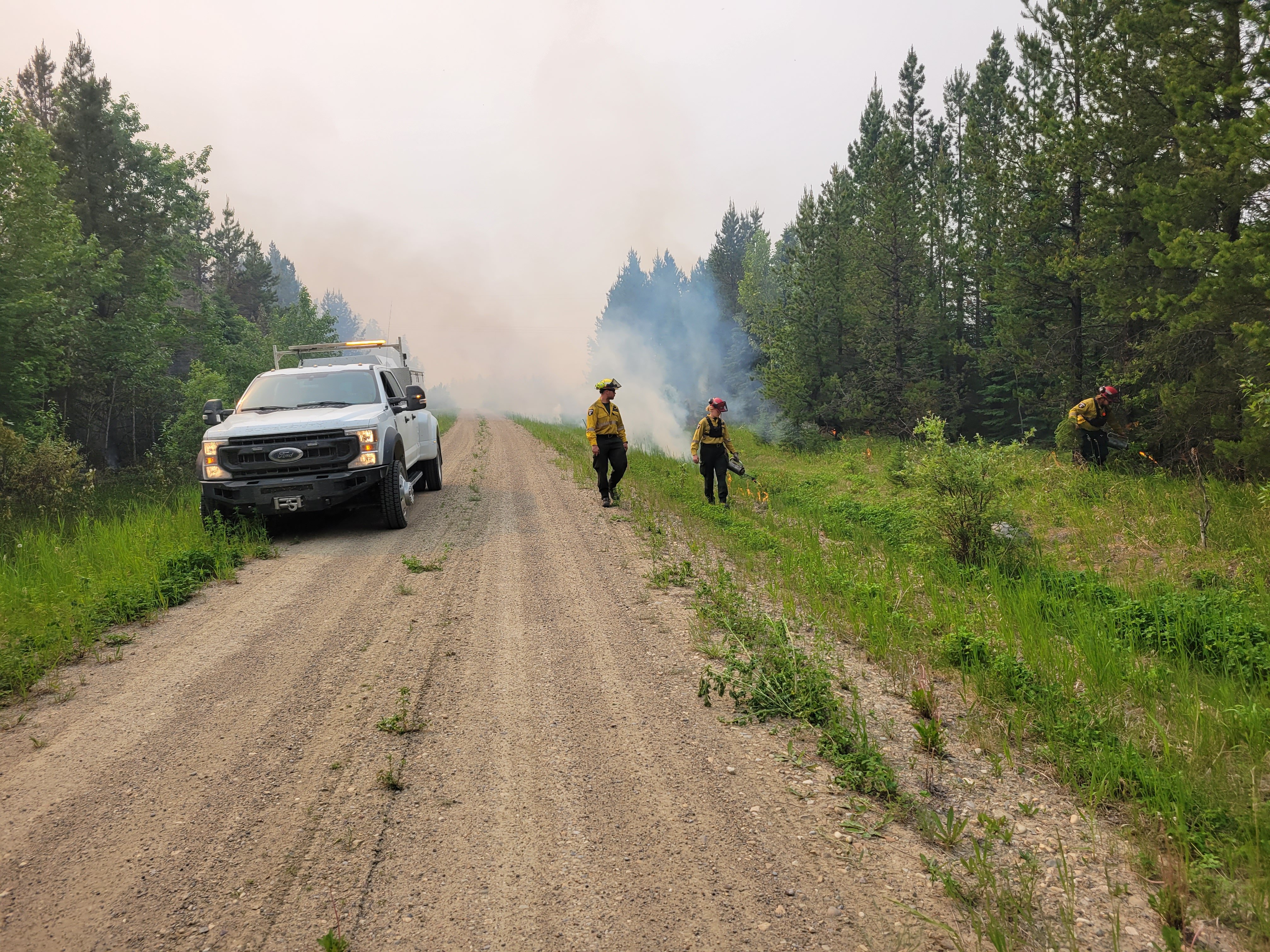
Wildland firefighters conduct ignition operations to remove fuels. This is a very effective way to remove unburnt fuels between the fire and perimeter control lines.
PEMBINA WILDFIRE COMPLEX - EWF031/039, RWF034/040
Higher humidity of about 45 per cent yesterday, and temperatures in the low-to-mid 20s, provided reduced rates of spread. This allowed an opportunity for ground personnel to re-establish their situational awareness in new areas of the fire where growth occurred over the past 72-hours. Today, temperatures are forecasted to be up to 27 degrees and relative humidity is expected to be back down to around 25 to 35 per cent. Winds today are expected 10 to 15 kilometers per hour from the southeast shifting to 10 to 15 kilometers per hour from the northeast into the evening. Tuesday will again be hot and dry until a low develops over Alberta into the evening bringing potentially 15 to 30 millimeters of rain through Tuesday night and into Wednesday.
Crew swing shifts have been established to allow for longer operational coverage on the fireline. Crews will now be working shifts from 6 a.m. to 8 p.m. and from noon to 2 a.m. This allows crews to work late into the evening when the fire is less aggressive. Beginning Tuesday, a night contingent will begin working through the night allowing for 24/7 suppression activities. Aerial resources will continue to support ground personnel as required.
The north edge of the fire has grown beyond McLeod River and is continuing to grow in the direction of Highway 16.
Fire that grew north of the McLeod River covers an area of approximately 250 hectares. Machine guard has been established ahead of the most northern edge of this finger to limit any further growth in this area under current conditions. Yesterday, crews extinguished to 100 feet into the fire perimeter around the fire that crossed over the McLeod River. Crews will continue to work in this area today to ensure 100% extinguishment. Crews are continuing to work with Yellowhead County and the Town of Edson to patrol and set up structure protection as required ahead of the fire.
The northwest flank of the fire grew has grown beyond Highway 47 and has reached Fickle Lake. Yesterday, a heavy equipment task force completed guard construction along the west side of this finger from Highway 47 towards the McLeod River. Taking advantage of light northwest winds on-site yesterday, an American hot shot crew carried out planned ignition operations to remove unburned fuels between the west flank and the newly built guard. This ignition operation will allow crews to further secure this area of the fire. Crews will continue to mop up and patrol this flank today to further secure it. On the east side of the finger, fixed-wing retardant airtankers slowed the spread of the fire in anticipation for a heavy equipment task force to build a control line in this area today.
Over the weekend, west of Highway 753, heavy equipment bolstered control lines to the east of the fire. Crews also worked to strengthen the containment line from Tidewater Road moving south towards the Brazeau Reservoir. A heavy equipment task force also completed a new containment line adjacent to the Brazeau Reservoir where 50 ha grew beyond control lines. This area of the fire was supported by skimmers and crews will continue to work towards containment in this area of the fire today.
New information on this complex will be available this evening. For wildfire updates on this group of wildfires, please visit the Edson Forest Area Update.
Credit to: Sarah Hall, Pembina Complex. Wildfire Information Officer, BC Wildfire Service.
If you have any questions or concerns about the PEMBINA COMPLEX, please call the Area Wildfire Information Officer: Caroline Charbonneau at 780-740-1341.
Lightning through the area may cause new wildfire starts. Lightning-caused wildfires can smoulder in the ground for a few days before becoming active and visible. This is called a "holdover" fire. Alberta Wildfire follows weather forecasts and tracks each lightning strike using a tracking system. This allows them to pinpoint where there are areas that have been heavily impacted by lightning. They then send out firefighters to patrol these areas.
PROVINCIAL WILDFIRE UPDATE
Since January 1,2023, in the Forest Protection Area, there have been 632 wildfires burning a total of 1,395,571.15 ha.
WILDFIRE DASHBOARD
The wildfire dashboard provides up-to-date wildfire information at the click of a button. This interactive tool displays important statistics on the number of active wildfires in the Forest Protection Area of Alberta, sizes, locations, suspected causes and more.
The dashboard builds on the former wildfire status map by displaying the most frequently accessed information in one convenient location.
WILDFIRE INFORMATION
Download the Alberta Wildfire app today and get access to accurate, real-time information on wildfires in your area. You can also find information on fire advisories, restrictions and bans across the province and much more all on your mobile device.
Available for Apple and Android.
Before heading out, please check albertafirebans.ca to determine whether there are any fire advisories, fire restrictions or fire bans in effect for your destination.
For more information contact:
Provincial Information OfficerWebsites:
- Alberta Wildfire
- Alberta Fire Bans
- FireSmart in Alberta
- Alberta Emergency Alerts
- Air Quality Health Index
- Wildfire Smoke and Your Health
- 511 Road Reports
- Emergency Preparation
Social Media:
Join the conversation on
![]()
![]()
![]()