

The wildfire danger in the Rocky Mountain House Forest Area is extreme.
Report smoke or fire in the forest by calling 310-FIRE (3473).
A FIRE RESTRICTION is in effect.
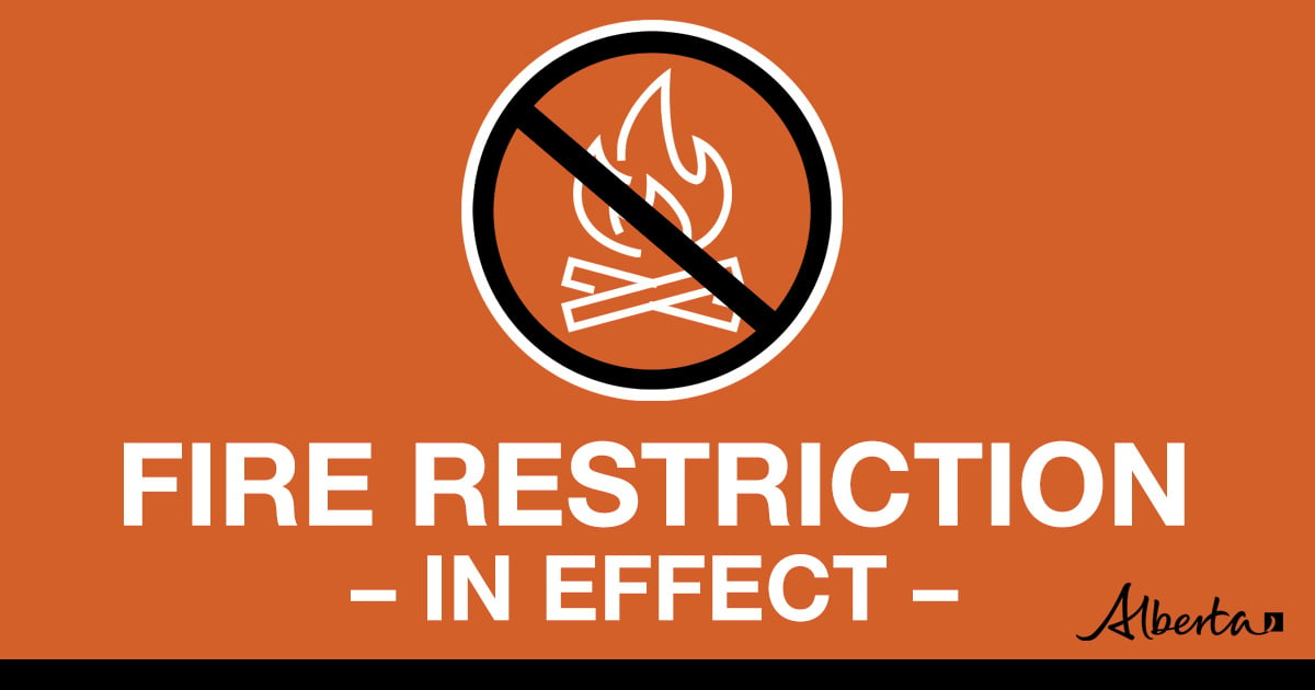
DETAILS OF FIRE RESTRICTION
A FIRE RESTRICTION remains in effect across much of the Forest Protection Area, including the Rocky Mountain House Forest Area.
Under this FIRE RESTRICTION:
- The Rocky Mountain House Forest Area will not be issuing fire permits
Prohibited:
- All outdoor wood fires in backcountry and random camping areas on public land
- Charcoal briquettes in backcountry and random camping areas on public land
- The use of fireworks and exploding targets
Allowed:
- Wood campfires on private land and in designated campgrounds
- Charcoal briquettes on private land and in designated campgrounds
- Propane/natural gas-powered appliances
- Open flame oil devices (e.g., turkey deep fryers, tiki torches)
- Indoor wood fires contained within a device with a chimney and spark arrestor
- All appliances must be CSA approved and used per manufacturer’s standards
Please visit albertafirebans.ca to view a map of the impacted area. This fire restriction will remain in effect until conditions improve across the province.
ROCKY MOUNTAIN HOUSE FOREST AREA UPDATE
There are currently four wildfires burning in the Rocky Mountain House Forest Area. Two of these wildfires are out of control and two are classified as under control. Since January 1, 2023, there have been 53 wildfires in the Rocky Mountain House Forest Area, burning a total of 120,541.30 hectares (ha).
With the continued hot dry weather, the Rocky Mountain House area will see increased fire behaviour today.
Initial attack and lookout resources remain diligent with fixed detection and aerial patrols.
Tomorrow in the south, precipitation is bringing in cooler temperatures 16-22°C. Strong westerly-northwesterly winds over the boreal, 20-30km/h, gusting 40-45 to the north. Light N/NW winds 10-20km/h to the south. Total precipitation 5-10mm most areas, locally maybe 10+. We will see crossover conditions in the boreal. Poor overnight RH recovery over the western boreal, 30-50%
Monday an upper ridge over the Pacific will push into Alberta. Clear, dry conditions under a surface ridge. Light winds circulating around the ridge, NW-SW 10-20km/h for most areas. To the south, highs 17-25°C. Chance of showers along the eastern slopes and extreme southern Alberta.
ACTIVE WILDFIRES
RCU005 - This wildfire is classified as being held. Alberta Wildfire continues to support RCU005 with resources. Given the current weather conditions, the wildfire is not anticipated to grow past expected boundaries.
PEMBINA WILDFIRE COMPLEX - EWF031/039, RWF034/040
Similar conditions as yesterday are forecast on site EWF031, with gusty winds sustained from the southeast 25 km/hr gusting upwards of 45 km/hr fire growth was primarily in the northwest and west direction. Extreme fire behaviour is again anticipated on the north, northwest and west flanks of the fire today. Growth over the past 24 hours has been a result of sustained winds, dry fuels, temperatures into the 30s and low relative humidities. Firefighting under these conditions is extremely dangerous and crews will only be working in areas where it is safe to do so. Aerial support, including fixed-wing retardant airtankers, water skimmers and helicopters will be utilized ahead of growing flame fronts. As the situation remains unstable, top priorities on-site today are first responder and public safety.
Yesterday, the north edge of the fire grew over 18 km towards Highway 16. Late last evening, the fire spotted north across the McLeod River. Through the night, an Australian contingent of firefighters worked with Yellowhead County structure protection to patrol and set up structure protection throughout the community of Ansell. Today, crews will continue to work with the County and the Town of Edson to assess and protect properties ahead of the fire.
A heavy equipment task force, including 11 dozers and an excavator worked through the night last night with line locators to begin cleaning up a pre-existing fuel-free area that could help to contain the north edge of the fire. Today, as visibility allows, aerial suppression support will be utilized along the north section of the fire to slow the advancing front of fire.
Yesterday, pushed by southeast winds, the west side of the fire grew 31 km further west. The fire grew beyond Sundance Road, just east of Erith River and continued across Highway 47. The western side of the fire has reached Fickle Lake and continues to grow in the northwest direction. This morning, airtankers and skimmers are operating in the Fickle Lake area to slow fire growth. This area of the fire is predominantly burning through spruce, which under these extreme conditions, spreads extremely quickly.
On the east side of the fire, fire crossed control lines in multiple areas. On the southeast corner, approximately 50 ha of fire crossed containment lines. The fire crossed the Elk River Road just north of the Brazeau Reservoir. Given the topographical features influenced by the Brazeau Dam, winds from the southwest are challenging containment in this area of the fire. The primary concern with these wind patterns is that the fire may continue to cross containment lines and grow into thick spruce that could threaten values further southeast. A heavy equipment task force is working to build a new containment line to the southeast.
Today, the biggest anticipated challenge for personnel will be reduced visibility and extreme fire behaviour along all sides of the fire. This evening, a forecast cold front is anticipated to bring gusty sustained winds from the west which will further challenge the eastern flank.
Resources will continue to be reassigned to areas of the fire where they can safely work. Due to significant safety risk crews will be withdrawn from areas of the displaying an organized flame front.
RWF034 is located near the O'Chiese Reserve and classified as out of control. The fire is currently estimated at 87,108 ha in size.
Approximately 150 hectares of fire crossed control lines yesterday on the east side of the Brazeau Reservoir adjacent to Sunchild Road. There is no threat to values at this time and crews will continue to work in this area today. The northwest tip of the fire had approximately 50 hectares grow beyond containment lines yesterday. Firefighters will be assessing that area of the fire today with additional help from aerial support.
RWF040 The fire is actively monitored by firefighters and support staff assigned to the complex who can respond if necessary. The fire is currently estimated to be 5,089 ha in size and remains classified as out of control. An infrared scan was completed over this fire yesterday to identify any hotspots in the area. Crews will continue to targets any remaining hotspots for this fire.
The onsite Incident Management Team is continuing to collaborate with all partners and communities within the vicinity of this wildfire to ensure public safety.
New information on this complex will be available this evening. For wildfire updates on this group of wildfires, please visit the Edson Forest Area Update.
Credit to: Sarah Hall, Pembina Complex. Wildfire Information Officer, BC Wildfire Service.
If you have any questions or concerns about the PEMBINA COMPLEX, please call the Area Wildfire Information Officer: Caroline Charbonneau at 780-740-1341.
Lightning through the area may cause new wildfire starts. Lightning-caused wildfires can smoulder in the ground for a few days before becoming active and visible. This is called a "holdover" fire. Alberta Wildfire follows weather forecasts and tracks each lightning strike using a tracking system. This allows them to pinpoint where there are areas that have been heavily impacted by lightning. They then send out firefighters to patrol these areas.
PROVINCIAL WILDFIRE UPDATE
Since January 1,2023, in the Forest Protection Area, there have been 623 wildfires burning a total of 1,320,756 ha.
WILDFIRE DASHBOARD
The wildfire dashboard provides up-to-date wildfire information at the click of a button. This interactive tool displays important statistics on the number of active wildfires in the Forest Protection Area of Alberta, sizes, locations, suspected causes and more.
The dashboard builds on the former wildfire status map by displaying the most frequently accessed information in one convenient location.
WILDFIRE INFORMATION
Download the Alberta Wildfire app today and get access to accurate, real-time information on wildfires in your area. You can also find information on fire advisories, restrictions and bans across the province and much more all on your mobile device.
Available for Apple and Android.
Before heading out, please check albertafirebans.ca to determine whether there are any fire advisories, fire restrictions or fire bans in effect for your destination.
For more information contact:
Provincial Information OfficerWebsites:
- Alberta Wildfire
- Alberta Fire Bans
- FireSmart in Alberta
- Alberta Emergency Alerts
- Air Quality Health Index
- Wildfire Smoke and Your Health
- 511 Road Reports
- Emergency Preparation
Social Media:
Join the conversation on
![]()
![]()
![]()