

The wildfire danger in the Rocky Mountain House Forest Area is high.
Report smoke or fire in the forest by calling 310-FIRE (3473).
AMENDMENTS TO FIRE BAN AND OHV RESTRICTION
As of 10:00 AM, Friday May 26, the fire ban and OHV restriction have been lifted in the Rocky Mountain House Forest Area. A FIRE RESTRICTION is now in effect.
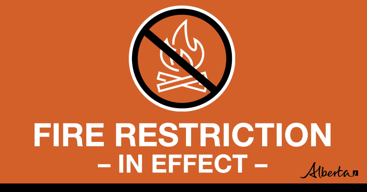
DETAILS OF FIRE RESTRICTION
A FIRE RESTRICTION is in effect across much of the Forest Protection Area, including the Rocky Mountain House Forest Area.
Under this FIRE RESTRICTION:
- The Rocky Mountain House Forest Area will not be issuing fire permits
Prohibited:
- All outdoor wood fires in backcountry and random camping areas on public land
- Charcoal briquettes in backcountry and random camping areas on public land
- The use of fireworks and exploding targets
Allowed:
- Wood campfires on private land and in designated campgrounds
- Charcoal briquettes on private land and in designated campgrounds
- Propane/natural gas-powered appliances
- Open flame oil devices (e.g., turkey deep fryers, tiki torches)
- Indoor wood fires contained within a device with a chimney and spark arrestor
- All appliances must be CSA approved and used per manufacturer’s standards
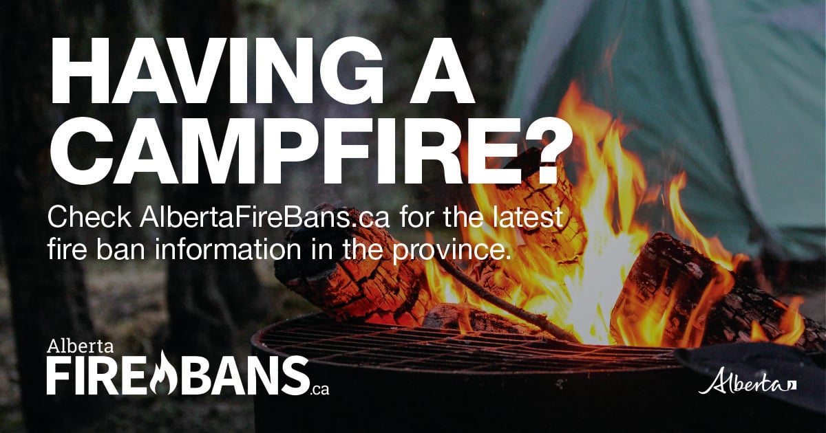
Please visit albertafirebans.ca to view a map of the impacted area. This fire restriction will remain in effect until conditions improve across the province.
ROCKY MOUNTAIN HOUSE FOREST AREA UPDATE
There are currently four wildfires burning in the Rocky Mountain House Forest Area. Two of these wildfires are out of control and two are classified as under control. Since January 1, 2023 there have been 53 wildfires in the Rocky Mountain House Forest Area, burning a total of 119,503.41 hectares (ha).
ACTIVE WILDFIRES
RCU005 - Thanks to the hard work of the County, Alberta Wildfire and the Canadian Armed Forces, as of May 17 2023, we have classified RCU005 as being held.
Alberta Wildfire continues to support RCU005 with resources and given the current weather conditions, the wildfire is not anticipated to grow past expected boundaries.
PEMBINA WILDFIRE COMPLEX - EWF031/039, RWF034/040
- Total Complex Containment – 7%
- Total Complex Size – 263,197 ha
Today, there are 97 firefighters and IMT support staff being shared between all fires on the Complex. There are 60 pieces of heavy equipment, and 27 helicopters assigned to the complex. An airtanker group is available to respond if necessary.
Access to the fires continued to improve on parts of the fire not impacted by today’s rain showers in areas in the fire perimeter. Today all the crews were actively engaged. Dozers are creating guard on both the northern and southern edges of the Wildfire Complex. They are working direct on the fire line using tools and water to mop up, secure, and fill in some of the gaps between the fire and the dozer guard. They continue to make progress on securing the perimeters of the EWF031, .
Fire behavior started out as moderate throughout the morning with stable temperatures and moderate relative humidity. Cloud cover decreased temperatures and increased humidity. Rain showers moved into some areas of the of the wildfire complex this afternoon with increasing winds and precipitation while other portions of the complex receive no precipitation. Surface fire with low rates of spread was observed earlier in the day followed by increased activity in the afternoon including crowning and spread on EWF031 extending north from the excursion yesterday.
The trend continues for slowly warming and drying conditions through the coming week.
EWF031 was detected on May 4 and is located 25 km west of Lodgepole, 20 km northwest of Brazeau Dam and 14 km southeast of Edson. The fire is classified as out of control and is estimated to be 125,033 ha in size. This number will change due to increased fire behavior that occurred today. Any fire growth today was well within fire contingency containment lines.
Today fire managers are focusing their attention and all available resources on the excursion located on the northeast portion of the fire - (Sub Section 1 of Section 1 in T50 R13 W5). This excursion continued to advance north, northwest of the fire perimeter and is still within the contingency guard. The team has had most of its air resources on the excursion all day including 4 scoopers and two 802 fixed-wing aircraft with retardant. Dozers and crews focused their efforts on building and securing guard around the excursion. They secured approximately 2 km of guard around the excursion and are expected to have an additional 2 km constructed by this evening. Fire managers are closely monitoring the progress of the fire and will send out alerts as necessary. We will keep you informed of any significant changes.
The lightning start (EWF050) that is currently 1 ha in size and is actively being managed by Edson Forest area. The approximate location is 3 km west of highway 753. Crews continue to make progress on their suppression efforts here.
There is a containment line on the north side of the fire working downwards towards 6 Mile Road as well as a containment line located south from Dora’s Corner (completed several days ago). Both lines will have continued air support as visibility allows, and it is safe for aviation resources to operate to perform water drops.
EWF039 located near Carrot Creek, is currently being held. The fire is currently estimated to be 165 ha. The fire is fully wrapped in containment line and is a kilometer away from the Carrot Creek lookout tower. Crews successfully left the area and have been repositioned on fire EWF031. Personnel are continuing to monitor the area available to respond if necessary.
RWF034 is located near the O'Chiese Reserve and classified as out of control. The fire is currently estimated at 87,108 ha in size.
Dozer guard construction continues from the south end of the Brazeau Reservoir then proceeding west along the south shore of the Brazeau River to the southwest corner of the RWF040 fire, then proceeding north. Preparations continue for a controlled burn between the southern edge of the RWF034 and RWF040 fires and the Brazeau River. The operation will take place sometime this week when conditions are safe for allowing the operation to proceed. The conditions the last several days were not conducive for conducting the operation.
Effective May 23, 2023, around 16:00hrs, the evacuation order for the O’Chiese FN was lifted and there are no alerts in place.
RWF034 and RWF040 have connected and will be managed as one fire although they will be tracked individually for the time being.
RWF040 is being monitored by firefighters and support staff assigned to the complex and can respond if necessary. The fire is currently estimated to be 5,089 ha in size. Some smoke was observed within the fire line which is to be expected with the trend of warming and drying conditions. Past growth occurred mostly to the west. The Blackstone Lookout Tower in the area is currently not at risk.
By: Kent Romney, Pembina Complex.
If you have any questions or concerns about the PEMBINA COMPLEX please call the Area Wildfire Information Officer: Caroline Charbonneau at 780-740-1341
Lightning through the area has been causing many fire starts. Lightning can cause wildfire, which can smoulder on the ground for a few days before becoming active and visible. This is called a "holdover" fire. Alberta Wildfire follows weather forecasts and also tracks each lightning strike using a tracking system. This allows them to pinpoint where there are areas that have been heavily impacted by lightning. They then send out firefighters to patrol these areas.
PROVINCIAL WILDFIRE UPDATE
Since January 1, 2023 in the Forest Protection Area, there have been 536 wildfires burning a total of 1,063,000.82 ha.
WILDFIRE DASHBOARD
The wildfire dashboard provides up-to-date wildfire information at the click of a button. This interactive tool displays important statistics on the number of active wildfires in the Forest Protection Area of Alberta, sizes, locations, suspected causes and more.
The dashboard builds on the former wildfire status map by displaying the most frequently accessed information in one convenient location.
WILDFIRE INFORMATION
Download the Alberta Wildfire app today and get access to accurate, real-time information on wildfires in your area. You can also find information on fire advisories, restrictions and bans across the province and much more all on your mobile device.
Available for Apple and Android.
Before heading out, please check albertafirebans.ca to determine whether there are any fire advisories, fire restrictions or fire bans in effect for your destination.
For more information contact:
Provincial Information OfficerWebsites:
- Alberta Wildfire
- Alberta Fire Bans
- FireSmart in Alberta
- Alberta Emergency Alerts
- Air Quality Health Index
- Wildfire Smoke and Your Health
- 511 Road Reports
- Emergency Preparation
Social Media:
Join the conversation on
![]()
![]()
![]()