

The wildfire danger in the Rocky Mountain House Forest Area is moderate.
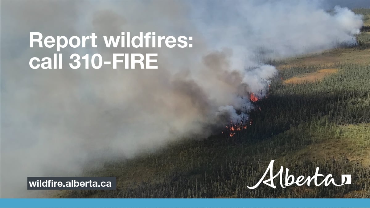
Report smoke or fire in the forest by calling 310-FIRE (3473).
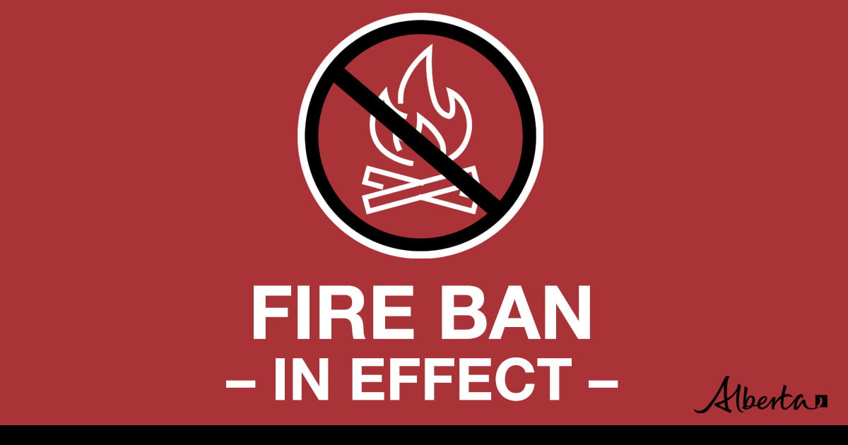
A FIRE BAN and OFF-HIGHWAY VEHICLE RESTRICTION remain in effect for the entire Forest Protection Area of Alberta, including the Rocky Mountain House Forest Area.

- All existing fire permits are suspended (or cancelled)
- No new fire permits will be issued
- All outdoor wood fires are banned, including wood campfires on public lands, wood campfires on private land and provincial campgrounds
- Backyard firepits
- BBQ charcoal briquettes
- The use of fireworks and exploding targets
- The recreational use of off-highway vehicles (OHV) on public lands, including designated OHV trails
- Propane/natural gas-powered appliances
- Open flame oil devices (e.g., turkey deep fryers, tiki torches)
- Indoor wood fires contained within a device with a chimney and spark arrestor
- All appliances must be CSA approved and used per manufacturer’s standards
- Indigenous people when using an OHV for traditional purposes. Traditional purposes are hunting, fishing, and trapping – including the use of an OHV to travel to the location(s) for these purposes.
- Essential industry-related activities requiring the use of OHVs.
- Off-highway vehicle use is still permitted on private lands.
ROCKY MOUNTAIN HOUSE FOREST AREA UPDATE
There are currently four wildfires burning in the Rocky Mountain House Forest Area. Two of these wildfires are out of control and two are under control. Since January 1, 2023 there have been 52 wildfires in the Rocky Mountain House Forest Area, burning a total of 115,749.43 hectares (ha).
ACTIVE WILDFIRES
RCU005 - Thanks to the hard work of the County, Alberta Wildfire and the Canadian Armed Forced, as of May 17 2023, we have classified RCU005 as being held.
Alberta Wildfire continues to support RCU005 with resources and given the current weather conditions, the wildfire is not anticipated to grow past expected boundaries.
PEMBINA WILDFIRE COMPLEX - includes EWF031/039, RWF034/040
**Bold indicates new or important information.
EWF031 was detected on May 4 and is located 25 km west of Lodgepole, 20 km northwest of Brazeau Dam and 14 km southeast of Edson. The fire is classified as out of control and is estimated to be 113,244 in size. The increased size is attributed to growth that has been observed over the last few days and due to more accurate mapping. Containment line is established on the northwest tip of the fire.
There were 82 firefighters and support staff being shared between this fire and EWF039. There were 20 pieces of heavy equipment, and nine helicopters assigned to the complex. An airtanker group remained available to respond if necessary. The Incident Management Team from the United States assumed command of the Pembina Complex May 22, 2023.
Aircraft were able to complete two reconnaissance flights over the complex showing that the current fire activity is moderate due to the current weather system. Scattered precipitation occurred directly on the fire.
Crews continue working on hotspots south of the Svedberg Road and an additional crew worked along the excursion that occurred at 4km south of the Svedberg Road. Both hotspots continue to be estimated to be 1 ha in size and will need multiple days of sustain action by crews and equipment.
There is a containment line on the north side of the fire working downwards towards 6 Mile Road as well as a containment line located south from Dora’s Corner (completed two days ago). Both lines will now need continued air support when visibility improves, and it is safe for aviation to operate to perform bucketing.
RWF034 is located near the O'Chiese Reserve and classified as out of control. The fire is currently estimated at 82,869 ha in size. The increased size is attributed to growth that has been observed over the last few days and due to more accurate mapping. There were 55 firefighters and support staff working on this fire. There were three helicopters assigned to the fire and four additional helicopters assigned to the complex. In addition, there were 22 pieces of heavy equipment.
Visibility issues from smoke hampered air operations yesterday. Ground crews will be assessing strategic locations on the southside of the fire for future operations. Crews continue to hold and mop up in the northern part of the southwest side of the fire.
RWF040 The fire is being monitored by firefighters and support staff assigned to the complex and they are able to respond if necessary. The fire is currently estimated to be 4,544 ha in size. Growth has occurred mostly to the west. The Blackstone Lookout Tower in the area is currently not at risk.
These fires are part of the Pembina Complex, for more information on all the wildfires in the complex please refer to the Edson Forest Area page.
Lightning through the area has been causing many fire starts. Lightning can cause wildfire, which can smoulder on the ground for a few days before becoming active and visible. This is called a "holdover" fire. Alberta Wildfire follows weather forecasts and also tracks each lightning strike using a tracking system. This allows them to pinpoint where there are areas that have been heavily impacted by lightning. They then send out firefighters to patrol these areas.
PROVINCIAL WILDFIRE UPDATE
Since January 1, 2023 in the Forest Protection Area, there have been 520 wildfires burning a total of 1,017,636.27 ha.
WILDFIRE DASHBOARD
The wildfire dashboard provides up-to-date wildfire information at the click of a button. This interactive tool displays important statistics on the number of active wildfires in the Forest Protection Area of Alberta, sizes, locations, suspected causes and more.
The dashboard builds on the former wildfire status map by displaying the most frequently accessed information in one convenient location.
WILDFIRE INFORMATION
Download the Alberta Wildfire app today and get access to accurate, real-time information on wildfires in your area. You can also find information on fire advisories, restrictions and bans across the province and much more all on your mobile device.
Available for Apple and Android.
Before heading out, please check albertafirebans.ca to determine whether there are any fire advisories, fire restrictions or fire bans in effect for your destination.
For more information contact:
Information Officer403-845-8354
Websites:
- Alberta Wildfire
- Alberta Fire Bans
- FireSmart in Alberta
- Alberta Emergency Alerts
- Air Quality Health Index
- Wildfire Smoke and Your Health
- 511 Road Reports
- Emergency Preparation
Social Media:
Join the conversation on
![]()
![]()
![]()