

Hot, dry conditions continue in most areas of the province resulting in numerous wildfires. A provincial state of emergency has been declared. Albertans who require assistance can call 310-4455 for wildfire related information. https://www.alberta.ca/emergency.aspx
Due to the numerous wildfires in Alberta, smoky conditions will persist in communities and along highways. Anyone with health concerns should visit Alberta Health Services or call 811 for health advice from Alberta Health Link. Before travelling, check 511.Alberta.ca for the latest road conditions or closures. Visit firesmoke.ca to see where the smoke is coming from and to view wildfires on a map, download the AB Wildfire App or visit the Alberta Wildfire Status Dashboard.
Wildfire Situation
Since January 1, there have been 46 wildfires in the Peace River Forest Area (PRFA) burning a total of 6,834 hectares (ha).
GWF018 is currently classified as Out of Control (OC). It is now estimated to be 47,266 ha in size. It is located on both sides of the Peace River, and is approximately five kilometers east of Cleardale and 13 kilometers southwest of Worsley. The wildfire is being contained at Hwy. 64 and did not cross the highway. Wildland firefighters using heavy equipment are working with municipal firefighters to build containment lines on the north and south flanks of the fire to prevent further spread. A flareup near Hines Creek is being contained by firefighters. Unit crews from Alberta and Washington assisted with structural protection on residences yesterday, and will continue working on containment lines on the wildfire's western flank on the north side of the Peace River.
The Kimiwan Complex Wildfire PCX001 (SWF068 and PWF038) - SWF068 is classified as Out of Control (OC). It is estimated to be approximately 108,889 ha in size. At this time, heavy smoke is causing reduced visibility for aircraft. When visibility improves, helicopters with firefighters, and airtankers will be deployed. Heavy equipment and firefighters continue to build fire guard on the wildfire's active areas.
Wildfire crews continue to reinforce protective measures and have been working with municipal firefighters to assist with structural protection around nearby communities, including the Town of McLennan and the Peavine Metis Settlement. The north perimeter has crossed Seal Lake Road and South Harmon Valley Road (Twp. 820). It is approximately 38 kilometers south of Cadotte Lake and 39 kilometers south of Little Buffalo. Containment efforts are planned for the north and west flank of the wildfire.
An Incident Management Team is now in place in The Peace River Forest Area (PRFA) and has taken over management of the Kimiwan Complex (SWF068 and PWF038). Additional firefighting crews and resources are being deployed to assist. Canadian Armed Forces personnel have also arrived in the PRFA, and will assist in firefighting duties as well as humanitarian aid if required.
These resources were deployed to the Peace River Forest Area from Alberta Wildfire though interagency agreements. Alberta has requested additional resources through the Canadian Interagency Forest Fire Centre in Winnipeg, and we also have agreements with the United States and Mexico.
PWF038 is also OC, and approximately 6,207 ha. It has remained relatively stable, with wildland firefighters patrolling and putting out hotspots to maintain containment lines.
There are no evacuation alerts for the MD of Smoky River or the Town of McLennan. Please visit the MD of Smoky River for more information about any applicable emergency measures.
Continue to stay informed by subscribing to Alberta Wildfire updates by entering your email. To view wildfires on a map, download the AB Wildfire App or visit the Wildfire Status page.
Caution is advised when travelling on area highways due to smoke conditions, especially in low lying areas. For road closures, visit 511 Alberta.
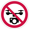
The use of recreational drones over wildfires in Alberta is dangerous, illegal and could result in a fine of up to $15,000* for putting aircraft and people at risk. Please give Alberta firefighters the space they need to do their jobs safely.
*according to Transport Canada
NOTAM
Aircraft pilots are reminded to check NOTAMs before flying into areas with active wildfires. Flying into a NOTAM area without prior authorization will cause disruption to aerial firefighting.
Wildfire Danger
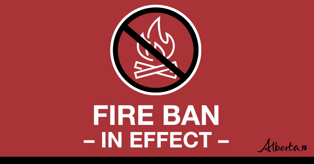
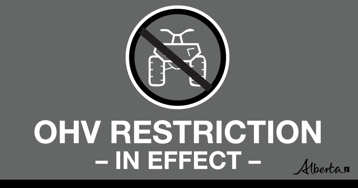
The wildfire danger is EXTREME in the Peace River Forest Area. With the return of extremely warm temperatures and gusty winds, firefighters urge everyone to continue to use caution as a wildfire will ignite easily and spread quickly. There is a Fire Ban and OHV Restriction in effect. visit www.albertafirebans.ca. Report wildfires immediately by calling 310-FIRE(3473).
310-FIRE
While we always appreciate people calling in to report wildfires, the large volume of calls we are currently receiving is diverting our resources away from other essential tasks. You can always visit firesmoke.ca to see where the smoke is coming from, and as always, please still call 310-FIRE if you see smoke or flame that looks new and potentially unreported, but assume that larger columns of smoke have already been detected. Thank you!
To see the forecasted fire danger click here, updates daily at 3:00 PM
If you see smoke or flame in the forest, call 310-FIRE (3473).
Weather
A surface frontal trough through BC and a trough through Alberta will produce widespread showers
and risk of thundershowers over the western boreal. Temperatures will be 15 to 20C, with northeast winds 25 to 30 kilometers per hour, gusting up to G45-55.
Smoky conditions
Due to the numerous wildfires in Alberta, smoky conditions will persist in communities and along highways. Anyone with health concerns should visit Alberta Health Services or call 811 for health advice from Alberta Health Link. Before travelling check www.511.Alberta.ca for information the latest road conditions or closures. Visit www.firesmoke.ca to see where the smoke is coming from and to view wildfires on a map, download the AB Wildfire App or visit the Alberta Wildfire Status Dashboard.
-
Under this fire ban:
- All existing Fire Permits are suspended (or cancelled)
- No new Fire Permits will be issued
Prohibited:
- All outdoor wood fires are banned, including wood campfires on public lands, wood campfires on private land and provincial campgrounds
- Backyard firepits
- BBQ charcoal briquettes
- The use of fireworks and exploding targets
- The recreational use of off-highway vehicles (OHV) on public lands, including designated OHV trails
Allowed:
- Propane/natural gas-powered appliances
- Open flame oil devices (e.g., turkey deep fryers, tiki torches)
- Indoor wood fires contained within a device with a chimney and spark arrestor
- All appliances must be CSA approved and used per manufacturer’s standards

- Indigenous people when using an OHV for traditional purposes
- Traditional purposes are hunting, fishing, and trapping – including the use of an OHV to travel to the location(s) for these purposes
- Essential industry-related activities requiring the use of OHVs
- Off-highway vehicle use is still permitted on private lands
If you see a wildfire, report it immediately by calling 310-FIRE.
The fire ban will remain in effect until conditions improve.
Please visit albertafirebans.ca to see a map of the areas covered under this Fire Restriction.
A number of area municipalities have implemented emergency measures in response to wildfires.
For more information about Alberta Emergency Alerts, go to Alberta Emergency Alerts
FOR MORE INFORMATION
- Bookmark the Peace River Wildfire Update and check for updates anytime or subscribe to have it emailed to you.
- You can also find us on Facebook, Twitter and Instagram or visit www.wildfire.alberta.ca
CONTACT
Peace River Wildfire Information Officer
Michelle Huley
Phone: (780) 618-2081
HELPFUL LINKS
Alberta Wildfire StatusAlberta Fire Bans
Air Quality Health Index
Alberta Emergency Alerts
511 Road Reports
Emergency Preparation