

Hot, dry conditions continue in most areas of the province resulting in numerous wildfires. A provincial state of emergency has been declared. Albertans who require assistance can call 310-4455 for wildfire related information. https://www.alberta.ca/emergency.aspx
Wildfire Danger
The wildfire danger is EXTREME in the Peace River Forest Area. With the return of extremely warm temperatures and gusty winds, firefighters urge everyone to continue to use caution as a wildfire will ignite easily and spread quickly. There is a Fire Ban and OHV Restriction in effect. visit www.albertafirebans.ca. Report wildfires immediately by calling 310-FIRE(3473).
Weather
For Monday, temperatures are expected to be up to 30 degrees relative humidity will be 20 percent. Crossover conditions are expected. Crossover occurs when the relative humidity is lower than the temperature and this is an indicator of extreme wildfire behavior. Winds are expected to become north to northwest 25 kilometers per hour this afternoon and evening with gusts exceeding 50 kilometers per hour.
Smoky conditions
Due to the numerous wildfires in Alberta, smoky conditions will persist in communities and along highways. Anyone with health concerns should visit Alberta Health Services or call 811 for health advice from Alberta Health Link. Before travelling check www.511.Alberta.ca for information the latest road conditions or closures. Visit www.firesmoke.ca to see where the smoke is coming from and to view wildfires on a map, download the AB Wildfire App or visit the Alberta Wildfire Status Dashboard.
Wildfire Situation
Since January 1, there have been 45 wildfires in the Peace River Forest Area (PRFA) burning a total of 6,910.13 hectares (ha).
GWF018 is currently classified as Out of Control (OC). It is estimated to be 29,000 ha in size. It is located approximately five kilometers east of Cleardale and 13 kilometers southwest of Worsley. This wildfire was very active again today and is running parallel to Hwy. 64 on the north flank, and is expected to reach agricultural land to the east. It is burning parallel to the Peace River on the south. Wildland firefighters assisted by air support and heavy equipment are working to contain the wildfire. Hwy 64 is closed from Range Road 74 to Range Road 91. Clear Hills County has issued an evacuation alert for area residents. Wildland firefighters assisted municipal fire services yesterday to provide structural protection to five residences threatened by wildfire. All five residences were saved.
The Kimiwan Complex Wildfire PCX001 (SWF068 and PWF038) is a provincial Wildfire of Note and is currently classified as Out of Control (OC). It is estimated to be approximately 64,000 ha in size. Wildland firefighters are working to contain this fire after it was increasingly active again yesterday. Peavine Metis Settlement is under a mandatory evacuation notice due to the fire's activity on the sourthwest flank. A forecasted low pressure system is expected to bring NW winds tomorrow or Tuesday. The wildfire's north perimeter is approximately 38 kilometers south of Cadotte Lake and 39 kilometers south of Little Buffalo.
WF034 is currently classified as Being Held (BH). It is estimated to be 433ha in size. The wildfire has not grown since May 8, but increased visibility allowed for another assessment. Wildland firefighters and heavy equipment have completed a boundary around the fire, which is being monitored by firefighters who continue to patrol this wildfire.
Continue to stay informed by subscribing to Alberta Wildfire updates by entering your email. To view wildfires on a map, download the AB Wildfire App or visit the Wildfire Status page.
Caution is advised when travelling on area highways due to smoke conditions, especially in low lying areas. For road closures, visit 511 Alberta.
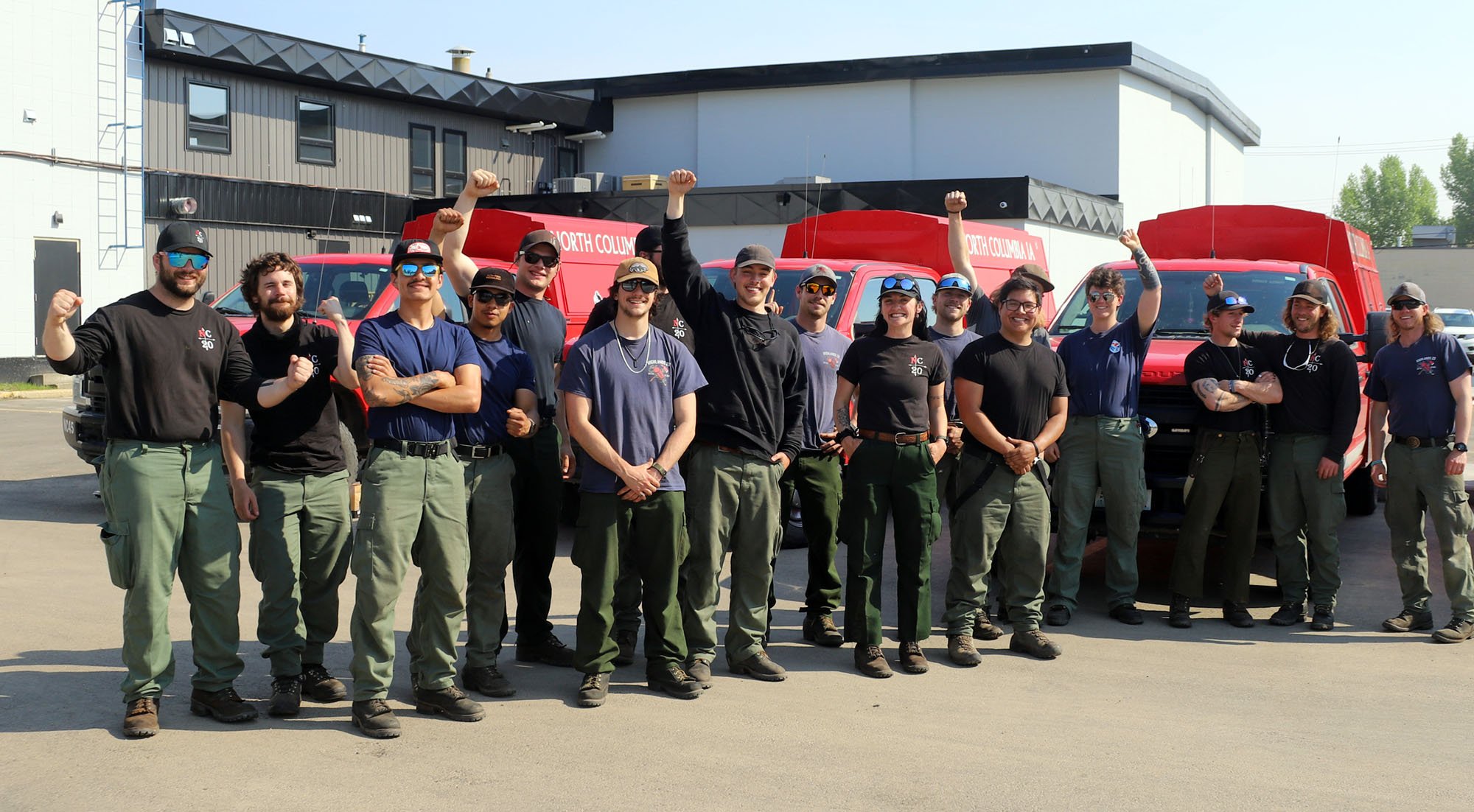
Wildland firefighters from Washington arrived in Peace River Sunday evening to assist the PRFA.

-
Under this fire ban:
- All existing Fire Permits are suspended (or cancelled)
- No new Fire Permits will be issued
Prohibited:
- All outdoor wood fires are banned, including wood campfires on public lands, wood campfires on private land and provincial campgrounds
- Backyard firepits
- BBQ charcoal briquettes
- The use of fireworks and exploding targets
- The recreational use of off-highway vehicles (OHV) on public lands, including designated OHV trails
Allowed:
- Propane/natural gas-powered appliances
- Open flame oil devices (e.g., turkey deep fryers, tiki torches)
- Indoor wood fires contained within a device with a chimney and spark arrestor
- All appliances must be CSA approved and used per manufacturer’s standards

- Indigenous people when using an OHV for traditional purposes
- Traditional purposes are hunting, fishing, and trapping – including the use of an OHV to travel to the location(s) for these purposes
- Essential industry-related activities requiring the use of OHVs
- Off-highway vehicle use is still permitted on private lands
If you see a wildfire, report it immediately by calling 310-FIRE.
The fire ban will remain in effect until conditions improve.
Please visit albertafirebans.ca to see a map of the areas covered under this Fire Restriction.
A number of area municipalities have implemented emergency measures in response to wildfires.
For more information about Alberta Emergency Alerts, go to Alberta Emergency Alerts
FOR MORE INFORMATION
- Bookmark the Peace River Wildfire Update and check for updates anytime or subscribe to have it emailed to you.
- You can also find us on Facebook, Twitter and Instagram or visit www.wildfire.alberta.ca
CONTACT
Peace River Wildfire Information Officer
Michelle Huley
Phone: (780) 618-2081
HELPFUL LINKS
Alberta Wildfire StatusAlberta Fire Bans
Air Quality Health Index
Alberta Emergency Alerts
511 Road Reports
Emergency Preparation