

Hot, dry conditions continue in most areas of the province resulting in numerous wildfires. A provincial state of emergency has been declared. Albertans who require assistance can call 310-4455 for wildfire related information. https://www.alberta.ca/emergency.aspx
Wildfire Situation
Since January 1 there have been 38 wildfires in the Peace River Forest Area (PRFA), burning a total of 6688.32 hectares (ha).
GWF018 is currently classified as Out of Control (OC). It is estimated to be 10,500 ha in size. It is located approximately five kilometres east of Cleardale and 22 kilometres southwest of Worsley. Two dozer groups are working to build fire breaks along the south and east flanks to utilize agricultural land and wetland areas to slow the wildfire's growth.
PWF034 is currently classified as Out of Control (OC). It is estimated to be 370ha in size. A dozer group is assigned to this wildfire and is working with wildland firefighters to build fire guards.
PWF038 is s currently classified as Out of Control (OC) and located approximately 17 kilometres northeast of Three Creeks and 20 kilometres southwest of Simon Lakes. It is estimated to be approximately 6,219 ha in size and has crossed the East Haul Road. Three helicopters, four wildland firefighter crews, and an equipment group are being utilized for this wildfire.
SWF068 is currently classified as Out of Control (OC), estimated to be approximately 23,706 ha in size. It is moving toward the Harmon valley area. Three helicopters, an equipment group and a unit crew are working to build a fireguard. Municipal fire services are assisting with structural protection.
None of the above wildfires are a threat to the Town of Peace River at this time. Continue to stay informed by subscribing to Alberta Wildfire updates by entering your email. To view wildfires on a map, download the AB Wildfire App or visit the Wildfire Status page.
For road closures, visit 511 Alberta.
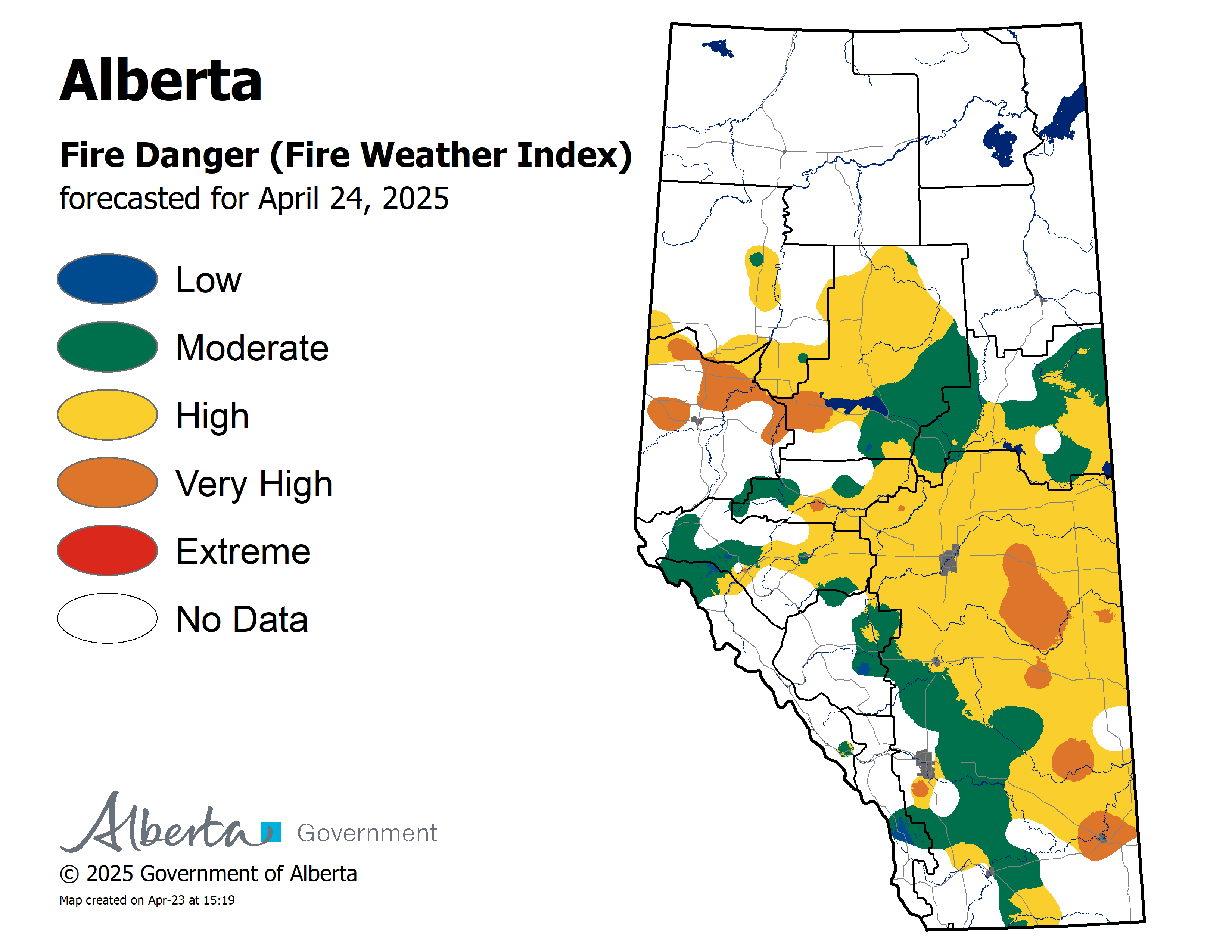
The Fire Danger in the Peace River Forest Area is EXTREME.
A Fire Ban and OHV Restriction is in effect for the entire Forest Protection Area of Alberta, including the Peace River Forest Area.
At this time, fine fuels are critically dry and very receptive to fire.


A fire ban and OHV restriction is in effect within the Forest Protection Area due to extreme fire danger.
Under this fire ban:
- All existing Fire Permits are suspended (or cancelled)
- No new Fire Permits will be issued
Prohibited:
- All outdoor wood fires are banned, including wood campfires on public lands, wood campfires on private land and provincial campgrounds
- Backyard firepits
- BBQ charcoal briquettes
- The use of fireworks and exploding targets
- The recreational use of off-highway vehicles (OHV) on public lands, including designated OHV trails
Allowed:
- Propane/natural gas-powered appliances
- Open flame oil devices (e.g., turkey deep fryers, tiki torches)
- Indoor wood fires contained within a device with a chimney and spark arrestor
- All appliances must be CSA approved and used per manufacturer’s standards
- Indigenous people when using an OHV for traditional purposes. Traditional purposes are hunting, fishing, and trapping – including the use of an OHV to travel to the location(s) for these purposes.
- Essential industry-related activities requiring the use of OHVs.
- Off-highway vehicle use is still permitted on private lands.
If you see a wildfire, report it immediately by calling 310-FIRE.
The fire ban will remain in effect until conditions improve.
Please visit albertafirebans.ca to see a map of the areas covered under this Fire Restriction.
A number of area municipalities have implemented emergency measures in response to wildfires.
For more information about Alberta Emergency Alerts, go to Alberta Emergency Alerts
Northern Sunrise County has issued an evacuation alert for some areas within the municipality.
There is a mandatory evacuation for all residents east of Range Road 200 between Twp 810 and Twp 830. All evacuated residents must register at the County reception center at the County’s Administration office at 135 Sunrise Road or call 780-624-0013
We want to be sure that all of our residents, who may be affected, are safe in the event that a mandatory evacuation occurs.
ROADS ARE CLOSED AT THE FOLLOWING LOCATIONS
RR 190
TWP 820 – 812
All of RR 185
TWP 814 East of RR 192
TWP 812 East of RR 192
TWP 810 East of RR 192
For further information go to https://northernsunrise.net/wildfire-awareness/
For information regarding smoke from wildfires and air quality, visit Air Quality Health Index
Clear Hills County has issued a Wildfire Alert and State of Local Emergency
People in the following locations are advised to be on high alert and prepared to evacuate:
Range Road 84 and the Clear River on the North side of Hwy 64.
Range Road 131 south to Township Road 842
Range Road 101 west on Township 874 (Clear Prairie Road)
Range Road 93 west on Township 864 (Worsley Area)
Range Road 84 – 93 on Township Road 84 (Cleardale area)
Range Road 51 West Township 844 (Montney Area)
Range Road 20 west on Township 841 (Whitelaw Area)
Range Road 14 west on Township 830 (Whitelaw Area)
Range Road 62 – Range Road 63 Township 872 (Eureka River Area)
For more information you can contact the county office at 780-685-3925 or go to: https://clearhillscounty.ab.ca/
An evacuation advisory for areas in the Municipal District of Fairview has been lifted
For more information go to https://www.mdfairview.com/
FOR MORE INFORMATION
- Bookmark the Peace River Wildfire Update and check for updates anytime or subscribe to have it emailed to you.
- You can also find us on Facebook, Twitter and Instagram or visit www.wildfire.alberta.ca
CONTACT
Peace River Wildfire Information Officer
Michelle Huley
Phone: (780) 618-2081
HELPFUL LINKS
Alberta Wildfire StatusAlberta Fire Bans
Air Quality Health Index
Alberta Emergency Alerts
511 Road Reports
Emergency Preparation