

The fire danger in the Peace River Forest Area (PRFA) is MODERATE.
Please visit Alberta Fire Bans for information on fire restrictions. Visit Fire Smoke Canada to view the smoke forecast. Please do not report smoke or flame from within an active wildfire area. Firefighters are diverted from essential tasks to respond to fires reported by the public. It is normal to see smoke or flame within the existing boundary of a wildfire.
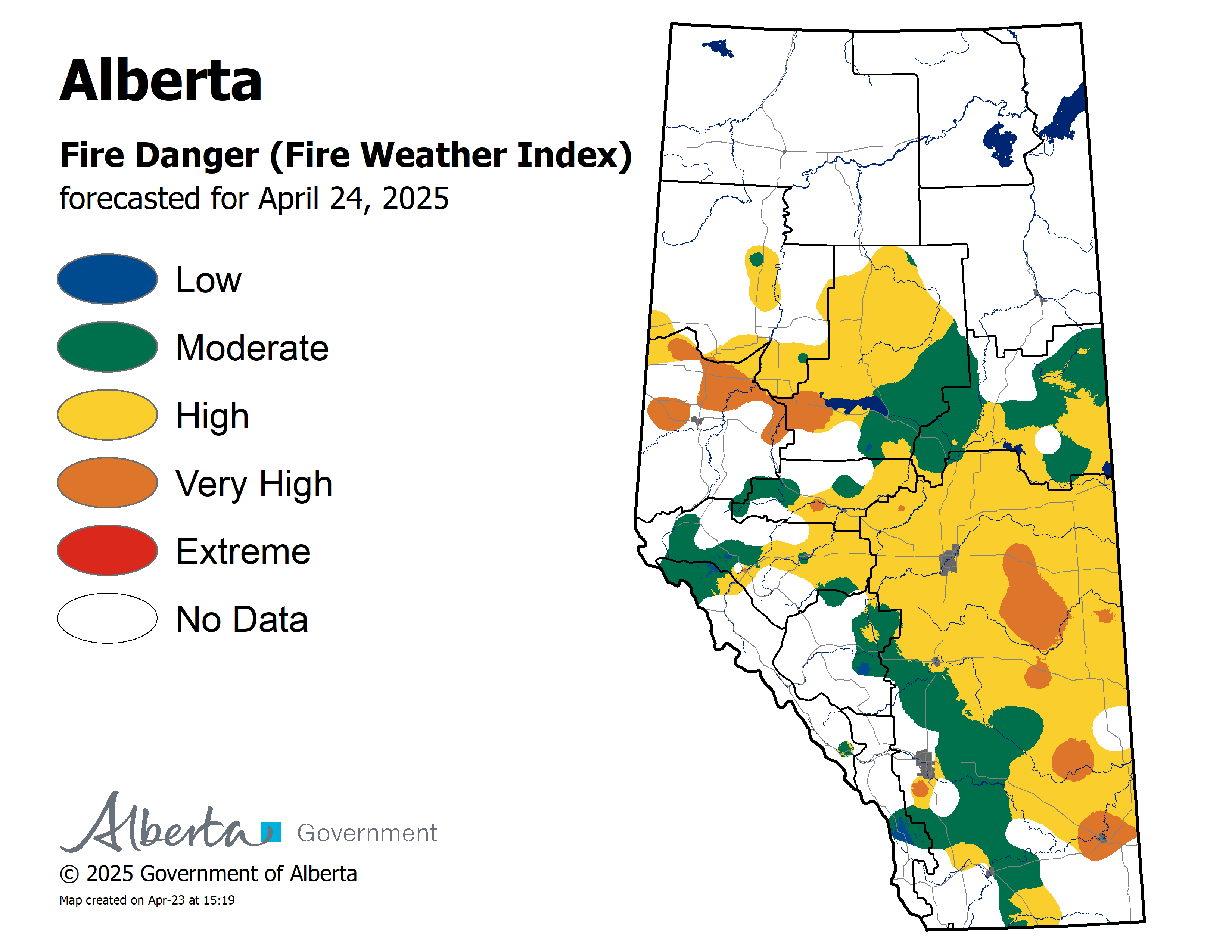
The forecasted fire danger map is updated daily at 3 pm.
.png?width=1200&height=676&name=wildfire%20app%20(2).png)
Since January 1, there have been 129 wildfires in the PRFA burning a total of 21,862 hectares (ha).
PWF125 was discovered July 23 and is classified as being held (BH). It is estimated to be 177 hectares in size. It is located approximately 15 kilometers south of the Chinchaga Wildland Park.
PWF093 was discovered July 8. It is classified as being held (BH) at 781 hectares.
PWF082 was discovered on June 30. It is approximately 7,712 hectares in size and classified as being held (BH). It is located south of Chinchaga Wildland Provincial Park.
PWF074 was discovered June 28 and is estimated to be 101 hectares in size. It is located approximately two kilometers northwest of Little Buffalo and is classified as under control (UC).
GWF018 is currently classified as under being held (BH). It is now estimated to be 49,328 ha in size. Reclamation activities are in progress.
Continue to stay informed by subscribing to Alberta Wildfire updates by entering your email. To view wildfires on a map, download the AB Wildfire App or visit the Wildfire Status page.
Caution is advised when travelling on area highways due to smoke conditions, especially in low lying areas. For road closures, visit 511 Alberta.
Visit Alberta Wildfire Status to learn more about wildfire classifications.
SWF068 Kimiwan Complex fire is currently 143,039 hectares in size and was classified as Under Control (UC) yesterday, 11 August 2023. The fire is 97 per cent contained.
Temperatures are expected to reach 20C with minimum 50 per cent relative humidity. Winds of 15 kilometers per hour from the west with potential gusts up to 30 kilometers per hour are expected. Thunderstorms and light rainfall are possible.
Fire activity is minimal. Recent wet and gusty conditions mean an increased risk of treefall. Firefighters have returned to the fireground where safe to do so and are focusing on extinguishing hotspots and consolidating containment lines. Residents and members of the public should use extra caution near burnt areas, especially in windy conditions.
Currently there are more than 218 firefighters and staff, six aircraft, and 27 items of heavy equipment working to control the fire. This fire is being managed by an Incident Management Team.
A Notice to Air Missions (NOTAM) remains in place over the fireground due to external load operations and crew movements. No person shall operate an aircraft, including remotely piloted ACFT (RPA-Drones) within the area. NOTAM ID: L4648/23 (CZEG).
PWF038 is classified as under control (UC) at 6,533 hectares.
PWF117 is classified as being held (BH) at 0.1 hectares.
The information officer for the Kimiwan Complex is Elise Goodin. She can be reached at 780-652-2410 or email wf.pcx0012023-iof.i@gov.ab.ca
For more information about wildfire in or near municipalities impacted by SWF068, please go to Northern Sunrise County or the MD of Smoky River.
Basset Complex | HWF058, PWF067, PWF079
This complex is being managed by an Incident Management Team.
For more information please visit the High Level Forest Area Update.
Stay away from active wildfire areas | For your safety and to ensure firefighters can do their job safely, please stay away from active wildfire areas. Your cooperation is essential.
Dangerous trees | Be extra cautious near burnt areas and avoid forested areas that have been recently affected by wildfire. Hazards remain from falling trees or branches, especially if windy, deep ash pits and burning peat.
Reporting wildfires | Please do not report smoke or flame from within an active wildfire area. Firefighters are diverted from essential tasks to respond to fires reported by the public. You may see smoke or flame within the existing boundary of a wildfire, this is normal.
Smoke | Lingering smoke may still be visible in some areas and in affected communities. Smoke inversions can trap air near the ground causing dangerous driving conditions and poor air quality. Please use extra caution when driving in smoky conditions, and take necessary precautions if you have smoke-related health concerns.
Drones | The use of recreational drones over wildfires in Alberta is dangerous, illegal and could result in a fine of up to $15,000* for putting aircraft and people at risk. Please give Alberta firefighters the space they need to do their jobs safely.
![]()
Using FireSmart principles is becoming a way of life for many communities in North America. With so many neighborhoods threatened by wildfire each year, residents are taking action and reducing the risk to their homes, cabins and properties.
To learn more on how you can protect your home and structures from wildfire, visit firesmartcanada.ca or click here to watch videos.
For those that have farm or acreages, this publication may be helpful to keep you FireSmart. Click on the link for the Farm and Acreage FireSmart Magazine.
FOR MORE INFORMATION
- Bookmark the Peace River Wildfire Update and check for updates anytime or subscribe to have it emailed to you.
- You can also find us on Facebook, Twitter and Instagram or visit www.wildfire.alberta.ca
CONTACT
Michelle Huley
Wildfire Information Officer,
Peace River Forest Area
780-618-2081
michelle.huley@gov.ab.ca
HELPFUL LINKS
Alberta Wildfire StatusAlberta Fire Bans
Air Quality Health Index
Alberta Emergency Alerts
511 Road Reports
Emergency Preparation