

The fire danger in the Peace River Forest Area (PRFA) is MODERATE.
Please visit AlbertaFiresbans.ca for information on fire restrictions. For further information and maps on smoke please go to Smoke Forecast - FireSmoke.ca
To see the forecasted fire danger, click here, updates daily at 3:00 PM
Please do not report smoke or flame from within an active wildfire area. Firefighters are diverted from essential tasks to respond to fires reported by the public. You may see smoke or flame within the existing boundary of a wildfire; this is normal.
Since January 1, there have been 129 wildfires in the PRFA burning a total of 21,866 hectares (ha).
PWF125 was discovered July 23 and is classified as being held (BH). It is estimated to be 200 hectares in size. It is located approximately 15 kilometers south of the Chinchaga Wildland Park.
PWF120 was discovered July 23 and is classified as being held (BH). It is estimated to be 75 hectares in size and is located approximately eight kilometers northwest of Bison Lake.
PWF105 was discovered July 17 and is classified as being held (BH). It is estimated to be 16.7 hectares in size.
PWF093 was discovered July 8. It is classified as being held (BH) at 538 hectares.
PWF082 was discovered on June 30. It is approximately 7,104.5 hectares in size and classified as being held (BH). It is located south of Chinchaga Wildland Provincial Park.
PWF074 was discovered June 28 and is estimated to be 101 hectares in size. It is located approximately two kilometers northwest of Little Buffalo and is classified as under control (UC). Residents are asked to be cautious of ongoing firefighting activities.
GWF018 is currently classified as under control (UC). It is now estimated to be 49,328 ha in size. Firefighters and helicopters continue to work on this wildfire and monitor the area. Pockets of vegetation within the interior of the fire perimeter continue to show active fire behaviour, however they are not likely to escape the containment lines.
PWF034 is located approximately 21 kilometers east and northeast of Worsley and 21 kilometers North of Cleardale. It is classified as under control (UC) at 587 ha. Firefighters continue to patrol this wildfire and work on any hotspots found.
Continue to stay informed by subscribing to Alberta Wildfire updates by entering your email. To view wildfires on a map, download the AB Wildfire App or visit the Wildfire Status page.
Caution is advised when travelling on area highways due to smoke conditions, especially in low lying areas. For road closures, visit 511 Alberta.
All wildfires in Alberta are investigated and these wildfires remain under investigation. To learn more about wildfire classifications, click here.
SWF068 Kimiwan Complex fire is currently 143,039 hectares in size and is classified as Being Held (BH).
Temperatures are expected to reach 24 degrees Celsius with minimum 50 per cent relative humidity. Light winds up to 10 kilometers per hour will come from the east in the morning and moving from the northeast later into the afternoon. There is a chance of intermittent gusts of 20 to 25 kilometres per hour in the afternoon.
The warmer temperatures and drier conditions will mean smoke and moderate fire behaviour will be visible in some parts of the fire footprint. Firefighters are focusing on extinguishing hotspots and consolidating containment lines. Treefall remains a risk. Residents and members of the public should use extra caution near burnt areas, especially in windy conditions.
Currently there are more than 190 firefighters and staff, 9 aircraft, and 33 items of heavy equipment working to control the fire. This fire is being managed by an Incident Management Team.
PWF117 was detected on July 22 and is classified as under control (UC).
PWF038 is classified as Under Control (UC) and is 6,533 hectares.
Kimiwan Information Officer is Elise Goodin. She can be reached at 780-652-2410 or email wf.pcx0012023-iof.i@gov.ab.ca
For more information about wildfire in or near municipalities impacted by SWF068, please go to Northern Sunrise County or the MD of Smoky River
THE BASSET FIRE | HWF058, PWF067, PWF079 |
This fire is being managed by an Incident Management Team.
For more information please visit the High Level Forest Area Update.
Stay away from active wildfire areas for your safety and to ensure firefighters can do their job safely, please stay away from active wildfire areas. Your cooperation is essential.
Dangerous trees Be extra cautious near burnt areas and avoid forested areas that have been recently affected by wildfire. Hazards remain from falling trees or branches, especially if windy, deep ash pits and burning peat.
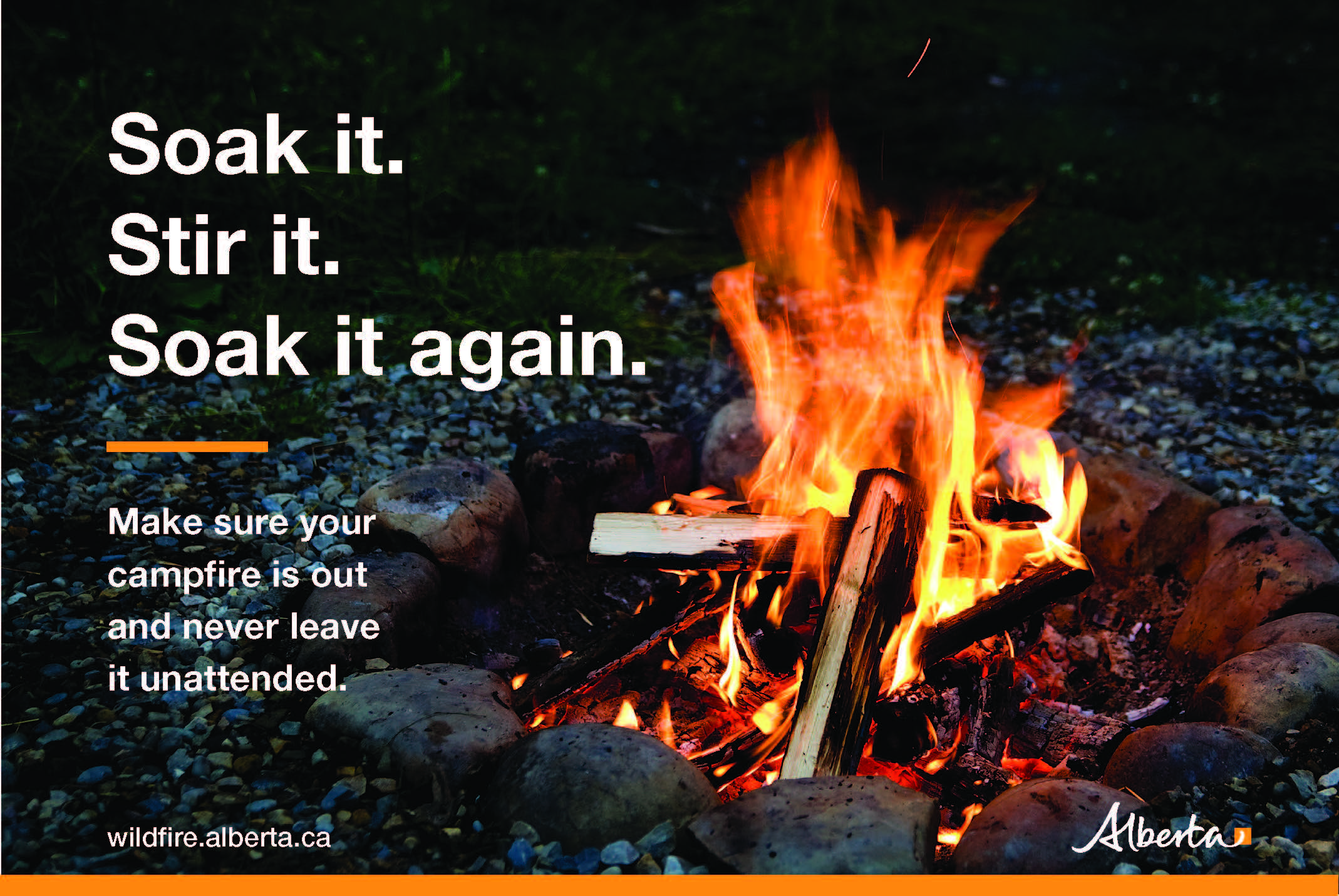
Reporting wildfires Please do not report smoke or flame from within an active wildfire area. Firefighters are diverted from essential tasks to respond to fires reported by the public. You may see smoke or flame within the existing boundary of a wildfire, this is normal.
Smoke Lingering smoke may still be visible in some areas and in affected communities. Smoke inversions can trap air near the ground causing dangerous driving conditions and poor air quality. Please use extra caution when driving in smoky conditions, and take necessary precautions if you have smoke-related health concerns.
Drones The use of recreational drones over wildfires in Alberta is dangerous, illegal and could result in a fine of up to $15,000* for putting aircraft and people at risk. Please give Alberta firefighters the space they need to do their jobs safely.
![]()
Using FireSmart principles is becoming a way of life for many communities in North America. With so many neighborhoods threatened by wildfire each year, residents are taking action and reducing the risk to their homes, cabins and properties.
To learn more on how you can protect your home and structures from wildfire, visit firesmartcanada.ca or click here to watch videos.
For those that have farm or acreages, this publication may be helpful to keep you FireSmart. Click on the link for the Farm and Acreage FireSmart Magazine.
FOR MORE INFORMATION
- Bookmark the Peace River Wildfire Update and check for updates anytime or subscribe to have it emailed to you.
- You can also find us on Facebook, Twitter and Instagram or visit www.wildfire.alberta.ca
CONTACT
Michelle Huley
Wildfire Information Officer,
Peace River Forest Area
780-618-2081
michelle.huley@gov.ab.ca
HELPFUL LINKS
Alberta Wildfire StatusAlberta Fire Bans
Air Quality Health Index
Alberta Emergency Alerts
511 Road Reports
Emergency Preparation