

Flags are at half mast at Alberta Forestry and Parks facilities this week in honour of Morgan Kitchen, our friend and colleague who tragically passed away August 3, 2024 while fighting wildfires in Jasper.

Flags lowered at the Peace River Provincial Building (August 13, 2024)
PEACE RIVER FOREST AREA / WILDFIRE SITUATION
There are currently three fires classified as BEING HELD in the Peace River Forest Area. Since January 1, there have been 95 wildfires in the Peace River Forest Area, which have burned approximately 15,892 hectares.


The fire danger is mainly low to moderate for the western boreal region and along the Rocky Mountains. It is high to very high in the eastern boreal region and high to extreme in the agricultural zone.
Since January 1, there have been 10,91 wildfires recorded in the Forest Protection Area that have burned 659,514 (ha). Last year, on this date, there were 974 wildfires that had burned 2,204,511 ha across the province.
CLASSIFICATIONS | Learn more about wildfire classifications.
LOCATIONS | View this wildfire on our interactive map by following the active wildfire link.

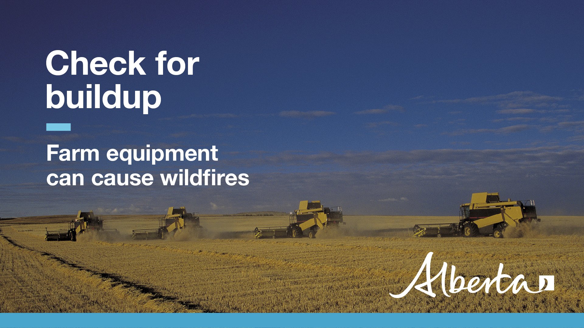
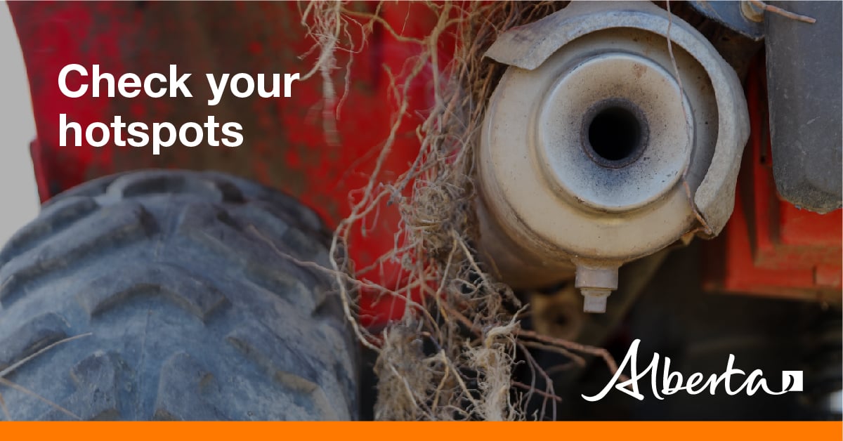
Tractors, combines, swathers, balers, and other heavy machinery on the farm can be a potential fire risk.
You can reduce this risk by:
- Clearing out any excess chaff around the engine, exhaust, belts, and chains
- Replacing damaged exhaust systems, drive belts, and electrical wiring
- Properly greasing moving parts
- Fixing fluid, oil, and fuel leakages
To learn more about reducing the risk of wildfire on the farm, download the FireSmart Farm and Acreage Guide.
Using off-highway vehicles (OHV), tools and equipment? Please use caution if you are using an OHV or doing any work that will produce a spark, friction or hot exhaust. With an OHV, check your muffler and maintain your vehicle in good working condition; avoid use in areas with tall grass.
CONTACT:

Join the conversation on Facebook, Twitter or Instagram.
HELPFUL LINKS