

The fire danger in the Peace River Forest Area (PRFA) is HIGH.
Please continue to use caution when in the forested areas as a fire danger is still present. If you are having a campfire remember to fully extinguish it by soaking the ashes, stirring them and soaking them again.
Please use caution when spending time in forested areas, as a fire can start and spread quickly.
Visit Fire Smoke Canada to see the smoke forecast and where it is coming from.
Fire advisory
A fire advisory is in effect for the Peace River Forest Area.
Under this advisory:
- Existing fire permits are still valid.
- New permits will be considered on a case-by-case basis.
- All valid fire permit holders must adhere to the conditions of the permit and postpone burning if wind speeds exceed the stated limit. Failure to do so could result in a violation ticket or further legal action.
Prohibited:
- Any burning without a valid fire permit, other than a campfire, is prohibited.
Allowed:
- Safe wood campfires;
- Backyard fire pits;
- Portable propane fire pits;
- Gas or propane stoves and barbecues; and
- Catalytic or infrared-style heaters.
Municipalities, parks and protected areas may have additional fire safety requirements.
Never leave a campfire unattended. Soak it, stir it, and soak it again until cool to the touch to ensure it is extinguished.
If you see a wildfire, report it immediately by calling 310-FIRE.
Please visit albertafirebans.ca to see a map of the area covered by this fire advisory.
The fire advisory will remain in effect until conditions improve.
.png?width=1200&height=676&name=wildfire%20app%20(2).png)
Since January 1, there have been 141 wildfires in the PRFA burning a total of 66,615 hectares (ha).
PWF125 was discovered July 23 and is classified as being held at 17,714 ha. It is located about 15 kilometers south of the Chinchaga Wildland Park.
PWF093 was discovered July 8 and is classified as being held at 27,174 ha.
PWF082 was discovered June 30 and is classified as being held at 8,550 ha. It is located south of Chinchaga Wildland Provincial Park.
Kimiwan Complex (SWF068, PWF038)
SWF068 was discovered May 5 and is classified as under control at 143,039 ha. It is located about six kilometres northwest of Peavine Metis Settlement.
PWF038 is classified as under control and is 6,534 hectares.
Firefighters continue to patrol the Kimiwan Complex to locate and extinguish hot spots.
To view wildfires on a map, download the AB Wildfire Status App or visit the Alberta Wildfire Status page.
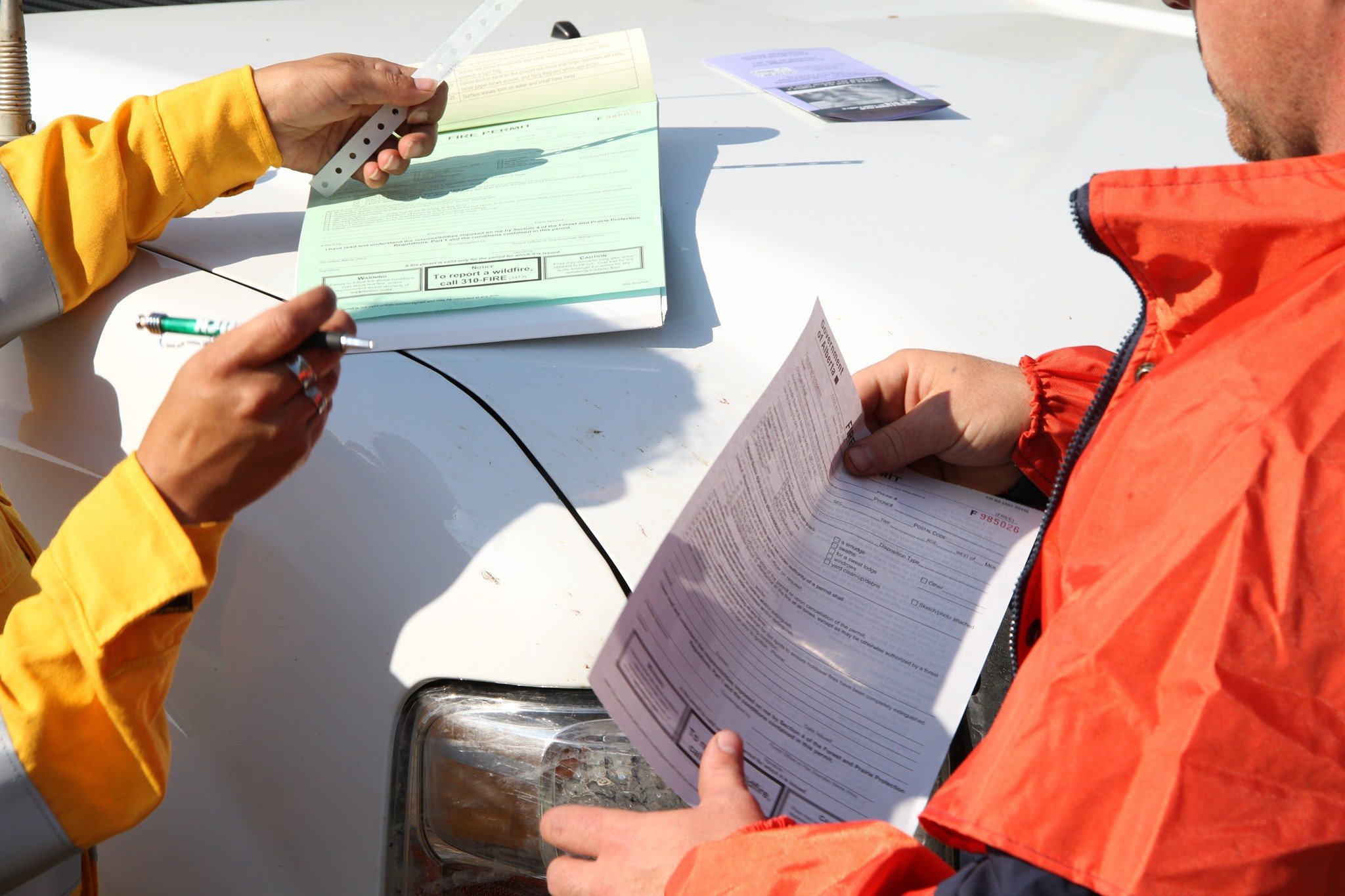
Fire permits
From March 1 to October 31, fire permits are required for any burning, except campfires, in the Forest Protection Area of Alberta.
Fire permits help us track what is burning on the landscape. If you are burning without a permit or not following permit conditions, your fire could be considered a wildfire and you could be fined and may be responsible for the costs of suppressing the fire. By getting a fire permit, you help keep our firefighters free to fight real wildfires instead of responding to the smoke in your backyard.
Fire permits are free and are now available online. Visit firepermits.alberta.ca for information on how to make a request online.
Fire permits are also still available, by request, from your local Forestry Office at 780-624-6190.
![]()
FireSmart
Using FireSmart principles is becoming a way of life for many communities in North America. With so many neighborhoods threatened by wildfire each year, residents are taking action and reducing the risk to their homes, cabins and properties.
To learn more on how you can protect your home and structures from wildfire, visit FireSmart Canada or download the Farm and Acreage FireSmart magazine.
FOR MORE INFORMATION
- Bookmark the Peace River Wildfire Update and check for updates anytime or subscribe to receive it in your inbox.
- You can also find us on Facebook, Twitter and Instagram or visit the Alberta Wildfire website.
CONTACT
HELPFUL LINKS