

The wildfire danger in the Lac La Biche forest area is now VERY HIGH.
When the fire danger level is very high, fire is expected to start easily and could challenge suppression efforts.
Firefighters urge everyone to use caution when working or recreating outdoors. Under the warm and dry conditions, a fire can ignite easily and will spread quickly. Report wildfires immediately by calling 310-FIRE(3473).

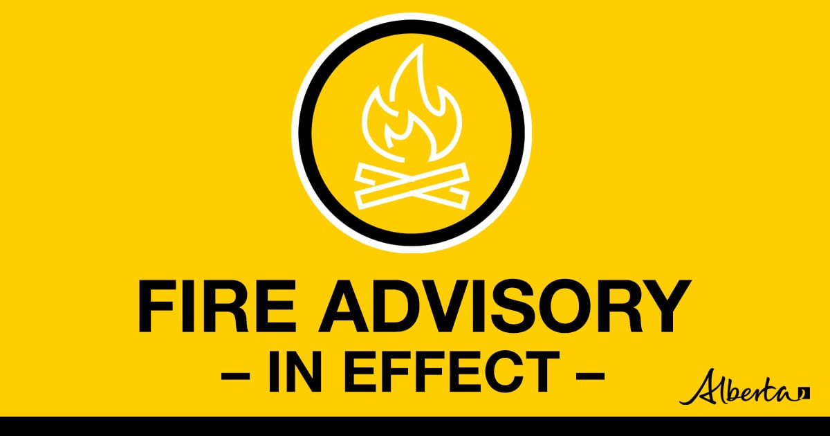
A fire advisory is in effect for the Lac La Biche Forest Area, due to hot and dry conditions
Under this advisory:
- All existing fire permits remain valid.
- New fire permits will be issued on a case-by-case basis.
Permitted:
- Safe wood campfires on private and public land, including backyard fire pits
- Charcoal briquette barbeques
- Propane/natural gas powered appliances
- Open flame oil devices
- Catalytic or infrared-style heaters
- Indoor wood fires
Prohibited:
- Any burning without a valid fire permit, other than a campfire
- Fireworks and exploding targets
The fire advisory will remain in effect until conditions improve.
For more information regarding fire bans or restrictions you can visit Albertafirebans.ca
Air Quality alerts
Environment Canada has issued an air quality alert for the Lac La Biche area. Due to wildfire smoke, air quality and visibility can fluctuate over short distances and vary considerably from hour to hour.
To see forecasted smoke, please visit FireSmoke.ca. If you have smoke related health concerns, please visit or contact Alberta 811.

The Kettle River Complex (LCX001) includes 11 wildfires: LWF123, LWF126, LWF136, LWF147, LWF154, LWF156, LWF159, LWF164, LWF169, LWF175 and LWF185. An Ontario Incident Management Team (IMT) is committed to managing personnel and resources assigned to the Kettle River Complex of wildfires.
Infrared drone-based scanning continues on fires in the complex, identifying hotspot targets for firefighters to extinguish.
Daytime highs are expected to reach 26 degrees Celsius today in the Kettle River Complex with relative humidity in the 40-45% range and winds ranging from 15 to 20 km/h.
Following several warm days with no significant precipitation there has been an increase in fire behaviour on some fires in the complex, including LWF123, LWF147 and LWF159. Smoke drift from these fires has been observed in surrounding areas.
LWF123 – the status of this wildfire is OUT OF CONTROL and is estimated at 2,120 ha in size. The fire is located approximately 5 km north of South Watchusk Lake. This fire is being monitored for growth and fire activity.
LWF147 – The status of this fire is BEING HELD at 6,413 ha. The fire is located approximately 16 km northeast of Heart Lake in the Cold Lake Air Weapons Range. There are 50 firefighters and personnel assigned to this fire. Helicopters continue to move crews into positions to patrol and extinguish hotspots.

Ontario Incident Management Team personnel conducting morning briefing for firefighters assigned to the Kettle River Complex (August 11).
LWF154 – The status of this wildfire is BEING HELD and is estimated at 1,278 ha. A total of 50 firefighters and personnel are assigned to this fire. Crews are establishing helipads around the fire perimeter and extinguishing hotspots to prevent fire spread to the east.
LWF156 – The status of this wildfire is OUT OF CONTROL and is estimated at 384 ha in size. This fire was detected on July 16, 2024. This fire is being monitored for growth and activity.
LWF159 – The status of this wildfire is OUT OF CONTROL and is estimated at 5,640 ha in size. This fire is located in the Dillon River Wildland Provincial Park about 12km east of Winefred Lake No. 194B. This wildfire is being monitored for growth and activity.
LWF164 – The status of this wildfire is UNDER CONTROL and is estimated at 1,547 ha in size. The fire is located 12 km northeast of Conklin and has shown minimal fire behaviour over the past several days and continues to be monitored for fire activity.
LWF175 – The status of the wildfire is OUT OF CONTROL. This fire is estimated at 128 ha in size and located in Dillon River Wildland Provincial Park, approximately 12 km east of Winefred Lake. This fire is being monitored for growth and activity.
LWF185 – The status of this wildfire is BEING HELD. This fire is estimated at 0.01 ha in size. This wildfire is located approximately 6.5 km east of Highway 881 in the northwest corner of the Cold Lake Air Weapons Range. This fire was detected on August 13 and was caused by lightning. Helicopters bucketing on LWF147 were able to quickly respond.

Increased fire activity on LWF159 has been contributing to smoke drift in the Kettle River Complex (August 13).
.png?width=1201&height=629&name=WF_Social-images%20(8).png)
CAMPFIRE SAFETY
SOAK IT, STIR IT, AND SOAK IT AGAIN
-
Let the fire burn down before you plan on putting it out. Spread the embers within the fire pit, then add water or loose dirt, and stir.
-
Expose any material still burning. Add more water and stir again until you can no longer see smoke or steam. Do not bury your fire as the embers may continue to smolder and can re-emerge as a wildfire.
-
Repeat until your campfire is cool to the touch.
-
If your fire is out, you should not be able to feel any heat from the ashes
- Alberta wildfire typically sees an increase in human-caused wildfires during long weekends.
FIRESMART
Your actions today can minimize wildfire damage to your home and property tomorrow. Visit FireSmart Alberta to learn how taking proactive FireSmart measures around your house and yard can increase your property's resistance to wildfire.
Download the Farm and Acreage Guide to Reducing the Risk From Wildfire for additional information.
WILDFIRE INFORMATION
.png?width=1200&height=676&name=wildfire%20app%20(2).png)
Subscribe to Lac La Biche forest area updates to receive them in your inbox.
Download the AB Wildfire Status app, and select the "i" at the bottom to see the most recent update. Sign up to be notified when a new update is published.
Visit Alberta Wildfire for more information on the current wildfire situation.
Visit Alberta Fire Bans to see if there are any fire advisories, fire restrictions or fire bans in effect in your area.
For more information, please contact:

.png?width=148&height=197&name=Untitled%20design%20(3).png)
Kettle River Wildfire Complex
Alison Bezubiak
Ontario Information Officer
Cell: 1-807-323-3743
wf.lcx0012024-iof.i@gov.ab.ca
RELATED INFORMATION
Websites:
- Alberta Wildfire
- Alberta Fire Bans
- FireSmart Alberta
- Alberta Emergency Alerts
- Air Quality Health Index
- Wildfire Smoke and Your Health
- 511 Road Reports
- Emergency Preparation
Social media:
Apps: