

The wildfire danger is Moderate in the High Level Forest Area. With the return of hot and windy conditions new wildfire starts have the potential to spread quickly. Please do your part and respect the Fire Ban and OHV Restriction.
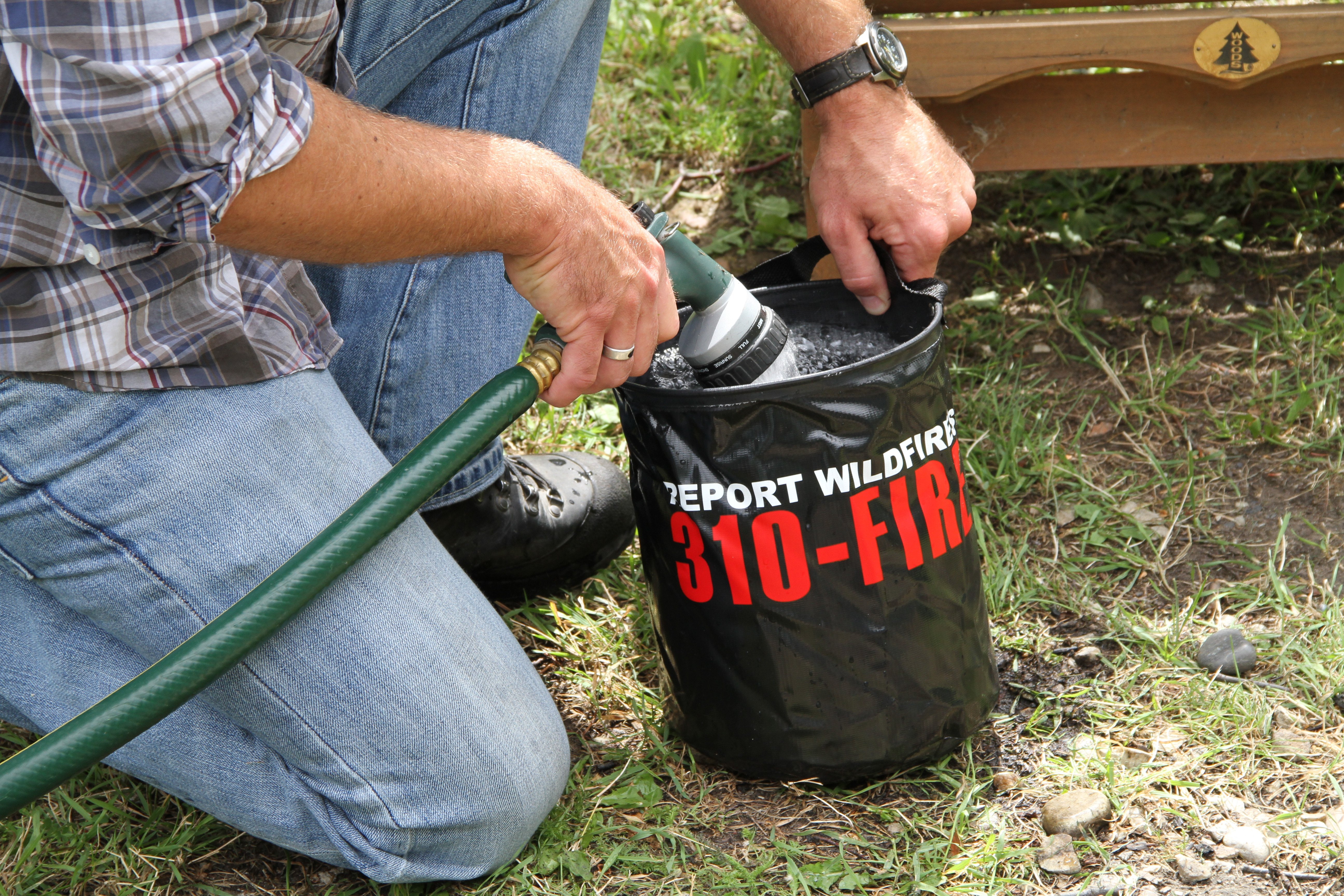
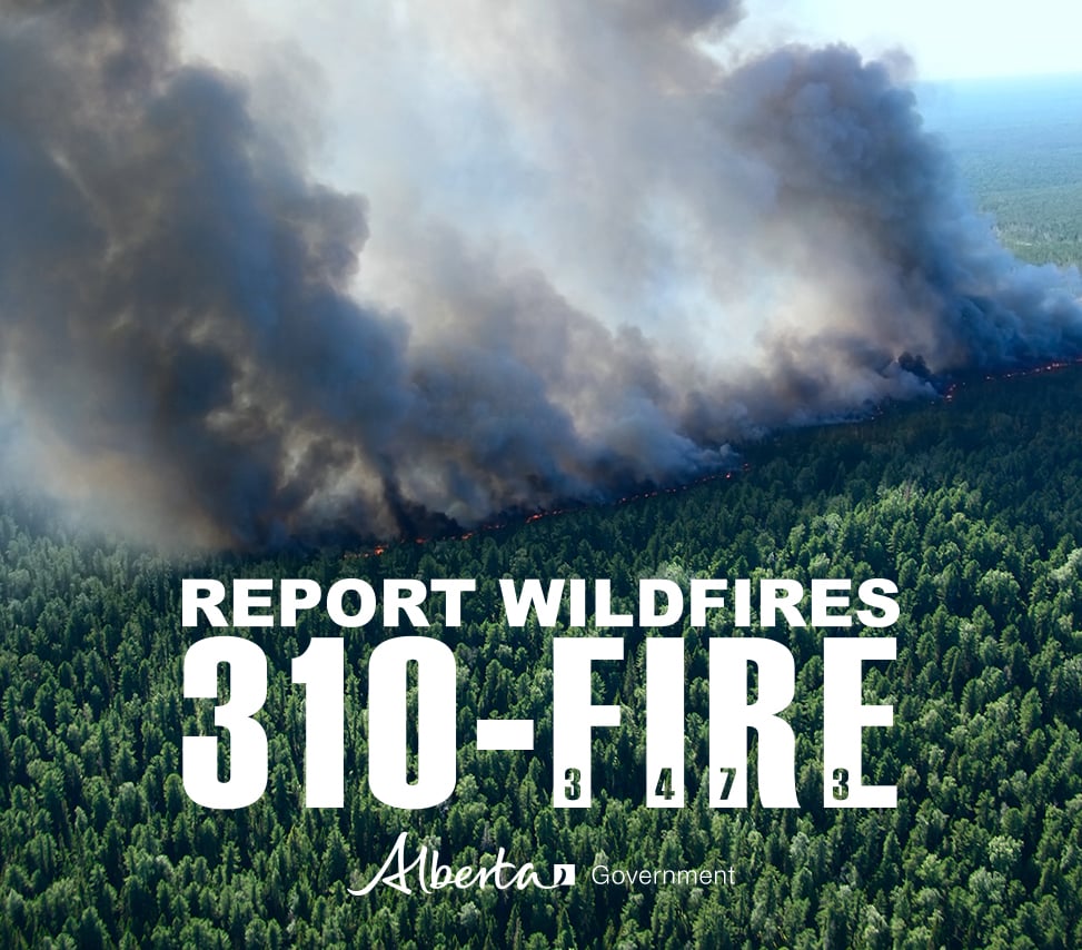
Help firefighters respond to new wildfires by calling 310-FIRE(3473).
Stay away from active wildfire areas | For your safety and to ensure firefighters can do their job safely, please stay away from active wildfire areas. Your cooperation is essential.
Danger trees | Be extra cautious near burnt areas and avoid forested areas that have been recently affected by wildfire. Hazards remain from deep ash pits, burning peat and falling trees or branches, especially if windy.
Reporting wildfires | Please do not report smoke or flame from within an active wildfire area. Firefighters are diverted from essential tasks to respond to fires reported by the public. You may see smoke or flame within the existing boundary of a wildfire, this is normal.
Smoke | Lingering smoke may still be visible in some areas and in affected communities. Smoke inversions can trap air near the ground causing dangerous driving conditions and poor air quality. Please use extra caution when driving in smoky conditions, and take necessary precautions if you have smoke-related health concerns.
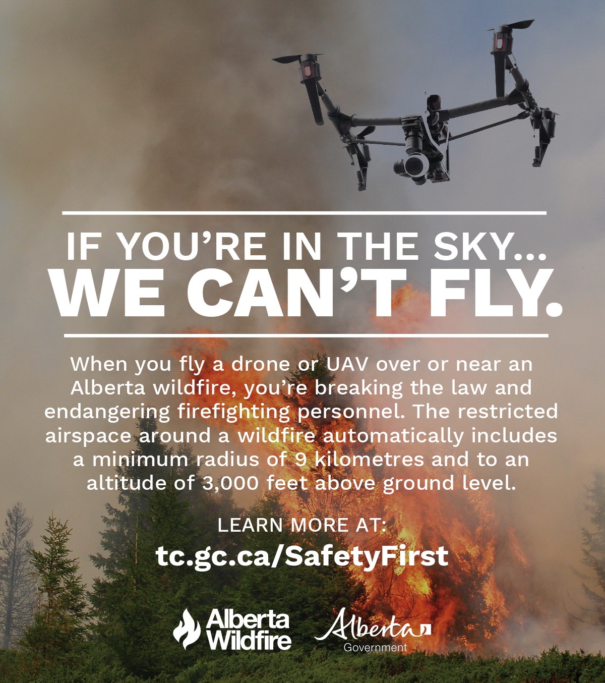
Drones | The use of recreational drones over wildfires in Alberta is dangerous, illegal and could result in a fine of up to $15,000* for putting aircraft and people at risk. Please give Alberta firefighters the space they need to do their jobs safely. *Transport Canada
There are ten wildfires in the High Level Forest Area. Of these fires, six are classified as out of control (OC), and four are under control (UC). Please see the updates below regarding the Paskwa Fire and the Long Lake Complex. To see a map of the wildfires in the High Level Forest Area and across the province please click here.
WEATHER | The forecast for today is as follows, a temperature of 19 degrees, a relative humidity of 40 percent with winds North Northeast 20- 25 km/hr gusting to 40 - 45km/hr.

Map illustrating the wildfires of the Long Lake Complex and adjacent BC Wildfires June 16.
THE LONG LAKE COMPLEX | HWF036, HWF058 | JUNE 19, 2023
Fires HWF036, HWF058, HWF064 and HBZ001 are being managed by the Incident Management Team (IMT) on the Long Lake fire and it is now called The Long Lake Complex.
HWF036 | This fire was detected on May 3, 2023. This fire is classified as Out of Control (OC) with a last recorded size of 165,400 hectares. However due the great work of crews we now have 45% of the fire line contained and being held.
All fire grounds in the complex received some rain over the weekend however wind and fire activity will increase in the coming days. Due to the overall underlying dryness the rain will dry quickly.
The fire is still active on the western and northern border along the Hay River, moving towards the British Columbia border. Crews are monitoring the fire by air. If we see movement in the fire today due to the increased winds, it will most likely be in this area.
The northeast guard protecting the community of Chateh continues to hold with limited activity fire along this edge. Firefighters continue to monitor and strengthen containment lines. Vegetation inside the fire perimeter continues to burn, we are still finding hot spots within the fire.
Please be aware that there is still active fire burning in the area. Residents are reminded not to enter the fire area due to large number of firefighters, and equipment working. Burnt trees continue to fall which are dangerous.
HWF058 |This fire is located approximately 80 km southwest of the Town of High Level and approximately 17 km northwest of the of Paddle Prairie Metis Settlement boundary marker, where the Haig River meets the Chinchaga River. This fire is classified as out of control (OC) with an estimated size of 21,356 hectares.
We expect that the fire will see some growth today due to the increased winds. The growth will be mostly in the Western side.
We continue to work closely with locals on understanding the local environment and getting access to the fireground.
Equipment and dozers have been activated to access the fire from the north and south. A base camp for crews has been established at Keg River Camp, southwest of Paddle Prairie.
HWF064 | This fire was detected June 9th, 2023. This fire is classified as out of control (OC) with an estimated size of 4,689 hectares
The fire is located 10km north west of Zama City. The evacuation order for Zama has been suspended by Mackenzie County for the time being. The fire has not grown significantly due to favorable weather conditions. Alberta Wildfire and Mackenzie County will continue to monitor the situation closely.
There will be limited fire activity today due to the milder weather conditions however we expect that the fire will see some growth on Monday when winds increase. Heavy equipment continue to work today on brushing up dozer guards around the community. Structure protection units are in place and ready. They have been testing equipment and ensuring everything is in place.
Crews have been deployed to the area and will be based at the Noralta in Zama City.
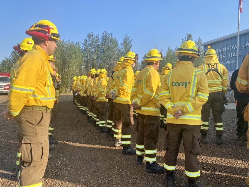
There are currently 320 personnel, 21 aircraft and 31 heavy equipment working across this complex of fires. Incident Management Teams from across Canada, and Australia and a large number of helicopters are currently working at the Incident Command Post located at the Town of Rainbow Lake airport to support these fires.
The Incident Management Team continues to work closely with effected communities, First Nations and industry stakeholders.
There are three fires burning along the BC and Alberta border. They are in remote country with no community and are being monitored by air. The Long Lake Fire complex incident management team are in daily contact with the BC Wildfire Service. For more information on these fires please go BC Wildfire Service (gov.bc.ca)
Weather Forecast | Long Lake Complex
The forecast for today is as follows, a temperature of 19 degrees, a relative humidity of 35 percent with winds N/NE 20/25km gusting to 40/45km. For further information and maps on smoke please go to Smoke Forecast - FireSmoke.ca
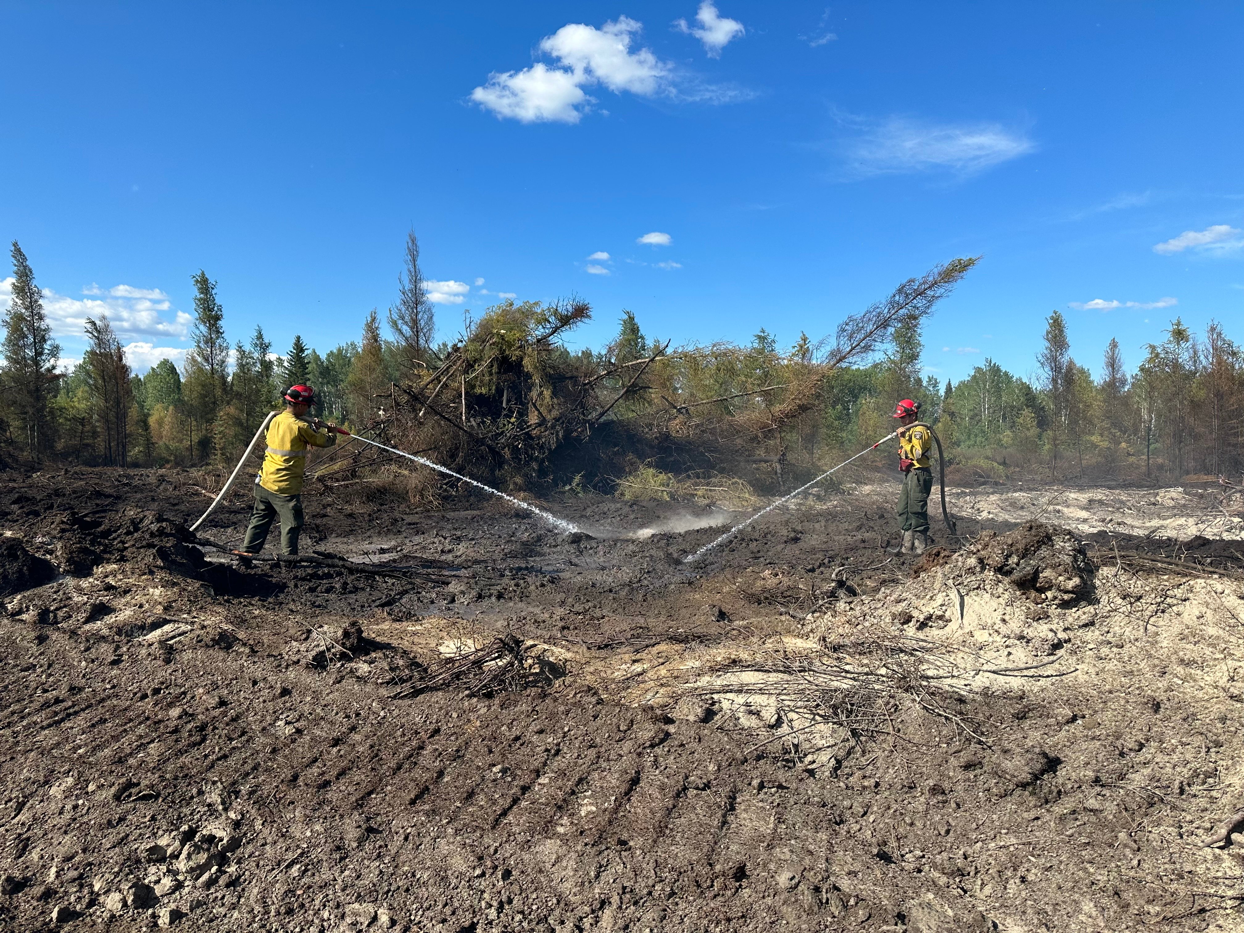
Firefighters working the Paskwa Fire Line June 19, 2023
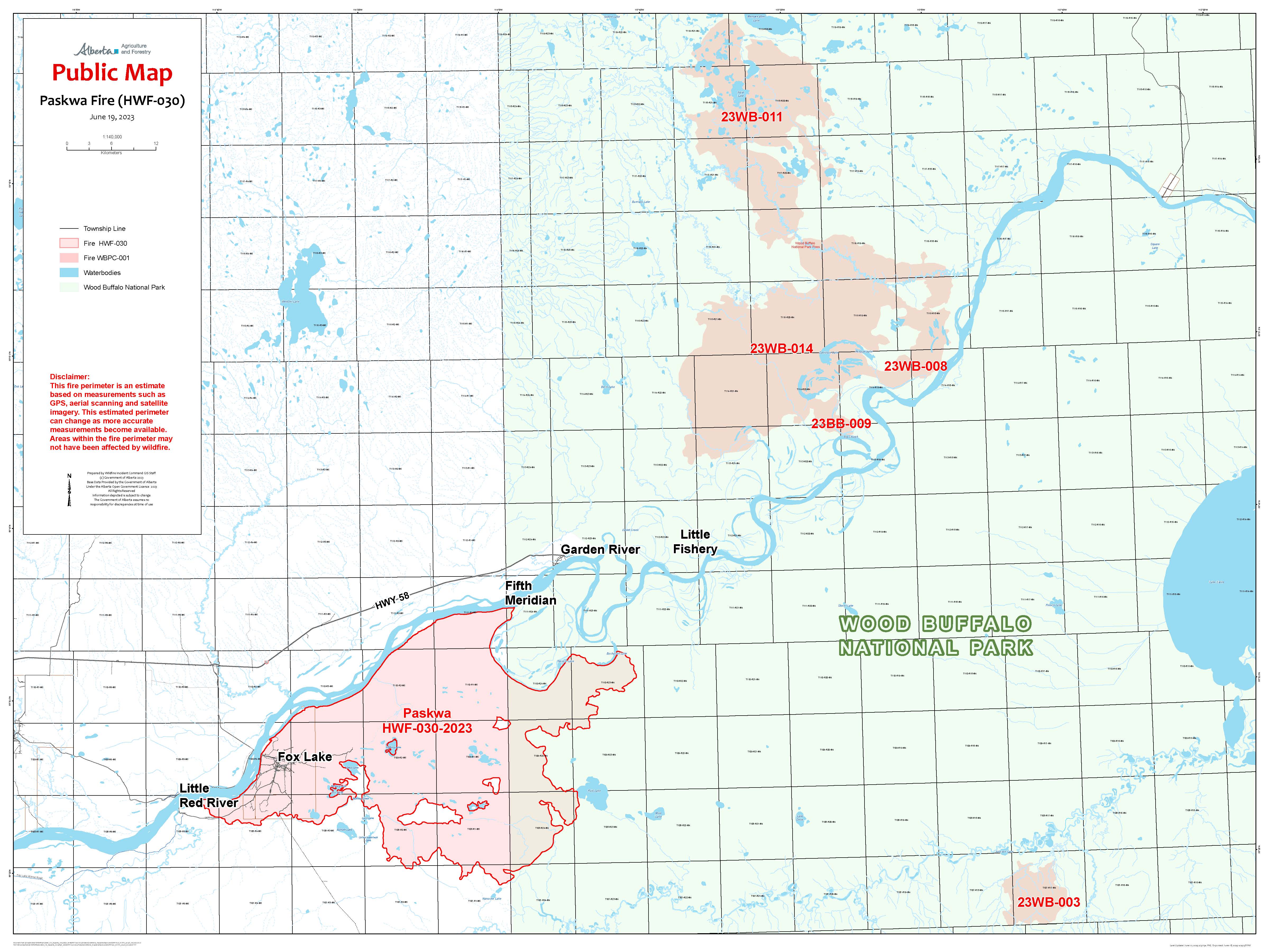
THE PASKWA FIRE | HWF030 | JUNE 19, 2023 AS OF 10:00 AM
The top priorities for managing the Paskwa Fire are full extinguishment of fire in Fox Lake, protecting Garden River, and working toward securing the fire perimeter to prevent significant fire spread. The Paskwa wildfire is currently 96,582 ha.
Smoke is lingering in the community of Fox Lake and ground crews are still working in the community actioning smokes with bucketing operations. Today, crews will be working to extinguish hotspots and remove danger trees along within the community as they’re spotted. These crews will be moved to action any surface fire if it arises in other areas of Fox Lake. We’re expecting heavy winds today and this could affect safety on the line, crews will be strategically placed to handle these hazards.
The crews that were working in the oxbow performing mop-up duties on the northeast edge have completed their work and have been moved to the Davidson fire. The area of 5th Meridian and within the oxbow is still a high-priority area that we will monitor to prevent fire spread north across the Peace River and to protect the community of Garden River.
The southeast flank of the fire spread into the edge of Ruis Lake creating a natural fire break and extinguishment zone and hasn’t moved in the past few days.
Firefighters will work to extinguish hotspots from Little Red River moving to Muskeg Creek enforcing the perimeter as this area is still not contained at this time. Aerial scanning was completed for the area and data will be analyzed by the operations team. Scanning helps to get a better location of hotspots for firefighters and bucketing operations.
Work has been completed in Fox Lake to extinguish 75m (250 ft) perimeters around structures, the removal of danger trees is ongoing. Crews have moved to the roadways to extinguish hotspots 250 ft outwards. Heavy equipment is working around larger hotspot areas where there is still potential for fire spread when conditions are right.
The high-volume water system, water lines, and sprinkler systems on structures are in place in the community of Garden River and structural firefighters will be available as needed. These are proactive measures to ensure the community is prepared should the fires move closer to Garden River.
Parks Canada and Alberta Wildfire have come together in Unified Command, allowing these two agencies to work together closely and share resources to protect the community of Garden River.
Many aerial scans have been completed over the course of this wildfire event and the information we receive from the data gives the operations team a better plan of where the deep burning hotspots in the area are located. Under these cool temperatures we are able to pro-actively action these hotspots that might not be visible on the surface with a combination of handtools and water.
Davidson Lake fire (Wildfires 8, 9, 11, 13, 14) – Wood Buffalo National Park – June 19
Today management of the Davidson Lake Fires moved to Unified Command with the province of Alberta.
The western edge of Fire 14 was active yesterday, helicopters were bucketing along this edge all day yesterday and will be doing the same today, with the objective of holding the fire at Trident Creek.
Dozers kept moving up to the western edge and cleared another safety zone closer to the fire’s edge. These safety zones are being made so ground crews can work safely along the perimeter of the fire in the future as conditions allow.
There was good progress yesterday on the guard being made to the north of Garden River at the park boundary line. The dozers were able to get 1.5 kilometres along the route and will be mindful of avoiding areas that were identified by community members at the June 16th community meeting as they continue.
Crews once again ran structure protection systems on cabins and infrastructure in the areas near the fire and installed rain gauges at the three cabins closest to the fire’s edges to help fire specialists get a more accurate measurement of rainfall near the fires. Fire specialists are proactively creating plans for small-scale ignition work around some of the values in the area, so that any future burnouts are well thought out and safely implemented.
Davidson Lake Fires were last estimated at 91,079 hectares and remains 6.2 km from the community evacuation trigger line.
Little Red River Cree Nation has an evacuation order in place for the community of Fox Lake. The community of Garden River remains on an evacuation alert. For information regarding the evacuation, please stay informed by visiting the Little Red River Cree Nation’s Facebook page.
For more information on this wildfire please visit Wood Buffalo National Park wildfire updates - Wood Buffalo National Park (canada.ca)
This information has been provided by the Wood Buffalo National Park, Fire Information Officer. For more information regarding fires burning within the Wood Buffalo National Park, please click here.
Resources
There are currently 146 personnel supporting the Paskwa/Davidson fire response consisting of wildland and structural firefighters, incident management staff, and Paskwa Fire Base support staff. There are also 12 helicopters and 19 pieces of heavy equipment dedicated to the Paskwa/Davidson fire.
Weather Forecast | Paskwa Fire (HWF030)
Today, a daytime temperature of 18oC degrees with winds out of the north-northeast at 30 km/h gusting of 50 km/h. Relative humidity will be 35% which is less moisture than we’ve seen in the last few days and we’re preparing to see an increase in fire behavior this afternoon on the wildfires.
DO NOT FLY DRONES NEAR WILDFIRES!
The use of recreational drones over wildfires in Alberta is dangerous, illegal and could result in a fine of up to $15,000* for putting aircraft and people at risk. Please give Alberta firefighters the space they need to do their jobs safely. *Transport Canada
WILDFIRE INFORMATION
Download the Alberta Wildfire app today and get access to accurate, real-time information on wildfires in your area. You can also find information on fire advisories, restrictions and bans across the province and much more all on your mobile device. Available for Apple and Android.
Before heading out, please check albertafirebans.ca to determine whether there are any fire advisories, fire restrictions or fire bans in effect for your destination.
Subscribe to the High Level Forest Area Update to receive an email when new information is posted. Join the conversation on Facebook, Twitter or Instagram.
WILDFIRE LINKS AND TOOLS
Volunteers, equipment owners/operators or firefighters looking to assist with these wildfires or any of the wildfires within the province can contact EmergencySupportOffers@gov.ab.ca.
There are multiple EVACUATION ORDERS & ALERTS in the Province. Please visit Alberta Emergency Alerts or your community webpage for more information.
For road closure information, please visit: 511.alberta.ca
Wildfire smoke is a tool used for the location of smoke firesmoke.ca
To see all the wildfires burning in Alberta click here.
WILDFIRE PREPARDNESS | Learn how you can prepare yourself for a wildfire by clicking here.
.png?width=1200&name=wildfire%20app%20(2).png)
Victoria Ostendorf
Wildfire Information Officer
High Level Forest Area
Mobile: 780-841-9387
Email: victoria.ostendorf@gov.ab.ca