Cooler temperatures and widespread rain showers are providing some relief to the forest area. The wildfire danger for the Grande Prairie Forest Area is MODERATE.  (GWF077 - Dozer guard 8/5/2024)
Currently Alberta Wildfire is responding to multiple out of control wildfires in the Grande Prairie forest area. An evacuation alert is in place for areas of Gundy and Gordondale.
For more information check https://www.saddlehills.ab.ca/news
Wildfire Information
Since January 1, 2024, 79 wildfires have been reported in the Grande Prairie Forest Area, burning nearly 373.67 hectares. Of the 79 wildfires, 70 have been extinguished, two are out of control, five are under control, one is being held and one is listed as turned over to the responsible party.
GWF075 is currently classified as out of control at 25 hectares. It is located approximately 4.2 kilometers southwest of Albright Lake and 5.2 kilometers west of range road 130.
Today, Dozer guard is anticipated to be complete by this operational period. Grounds crews are ready to action once access is gained on the ground. Currently raining over fire, no overnight precipitation was observed. Firefighting efforts are favorable today. As of this time, no growth has been observed on this wildfire today.
GWF077 is currently classified as out of control at 150 hectares. It is located approximately 6.9 kilometers south of highway 49, 2.8 kilometers west of range road 102 and 9.7 kilometers southeast of the Saddle Hills landfill.
Heavy equipment continues to build a fire guard around the perimeter this work should be complete during today's operational period. Currently raining over fire, with trace amounts overnight. Fire crews are working on the north perimeter and also the SE/SW perimeter. Firefighting efforts are favorable today. As of this time, no growth has been observed on this wildfire today.

Wildfire Airspace Restrictions
When you fly a drone over or near an Alberta wildfire, you’re breaking the law, endangering firefighting personnel and may cause firefighting operations to stop.
Transport Canada explicitly prohibits the use of Remotely Piloted Aircraft Systems (RPAS) or drones of any size near a wildfire. Under CARS 601.15 all wildfires are considered to be automatically “flight restricted” according to the federal Canadian Aviation Regulations.
Under Alberta’s Forest and Prairie Protection Act, anyone found interfering with wildfire control efforts (including flying drones) can face an automatic court appearance.

A fire restriction is in place for the Grande Prairie Forest Area.
Under this restriction:
- Existing fire permits are restricted, suspended or cancelled and no new fire permits will be issued
- Safe wood campfires within fire rings in campgrounds are allowed
Prohibited on public lands, including backcountry and random camping areas:
- All outdoor wood fires
- Fires fueled exclusively by charcoal briquettes
- The use of fireworks and exploding targets
Allowed in designated campgrounds on private and public land, designated day use areas and on privately owned land:
- Safe wood campfires
- Backyard fire pits, charcoal briquette barbeques
- Propane/ natural gas-powered appliances CSA approved or UL certified
Never leave a campfire unattended. Soak it, stir it and soak it again until cool to the touch to ensure it is extinguished.
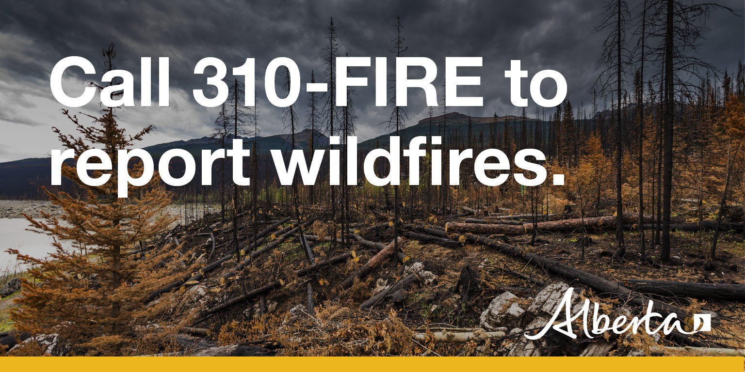
If you see a wildfire, report it immediately by calling 310-FIRE.
The fire restriction will remain in effect until conditions improve.
Emergency Preparedness
Getting the right information at the right time helps you respond quickly and appropriately. Get alerts by downloading the Alberta Emergency Alert app and visit Alerts and advisories to learn what other alerting services are available.

When wildfire danger is low to moderate, updates will be issued weekly. However, when the danger escalates to high or extreme levels, updates will be provided daily if fires are active and/or out of control.
Expect your next wildfire update on August 6, 2024, unless conditions change.
Kelly Burke | Wildfire Information Officer
(780) 832-7235
- Alberta Wildfire
- Alberta Fire Bans
- FireSmart in Alberta
- Alberta Emergency Alerts
- Air Quality Health Index
- Wildfire Smoke and Your Health
- 511 Road Reports
- Emergency Preparation
Subscribe to the Grande Prairie Forest Area wildfire update to receive an email when new information is posted.
Phone: 1-866-394-3473


