The wildfire danger for the Grande Prairie Forest Area is VERY HIGH.
Smoke from wildfires in northern parts of Alberta, Saskatchewan and British Columbia are drifting into our area. To see forecasted smoke, visit FireSmoke.ca. If you have smoke related health concerns, contact Alberta 811.

(GWF077 - Whitecourt Unit crew and IC Emile Desnoyers 08/12/2024)
Wildfire Information
Since January 1, 2024, 94 wildfires have been reported in the Grande Prairie Forest Area, burning nearly 409.39 hectares. Of the 94 wildfires, 79 have been extinguished, two are out of control, one has been turned over to the responsible party, six are being held and six are under control.
Today helicopters have been grounded due to poor visibility. Heavy equipment, firefighting crews with hand tools, pump and hose as well as water trucks continue to fight active wildfires in the area.
Crossover conditions are also expected. Crossover occurs when the relative humidity is lower than the temperature and this is an indicator of extreme wildfire behavior.
GWF090 is currently classified as being held at 1.3 hectares. This wildfire is located 0.2 kilometers west of range road 102 and 4.4 kilometers southwest of Boone Lake. A night vision helicopter checked for possible targets overnight and firefighters worked to extinguish those hotspots today.
GWF075 is currently classified as being held at 44.6 hectares (updated GPS). It is located approximately 4.2 kilometers northeast of Albright Lake and 5.2 kilometers east of range road 130. The fire received scattered rain and hail yesterday and no growth was observed on this wildfire. Hotspots were found in brush piles along the perimeter and today heavy equipment worked to expose the hotspots for crews to extinguish.
GWF077 is currently classified as out of control at 159 hectares. It is located approximately 6.9 kilometers south of highway 49, 2.8 kilometers west of range road 102 and 9.7 kilometers southeast of the Saddle Hills landfill.
Overnight 0.5 mm of precipitation was measured on this wildfire. Dry lighting also went through the area again and we are currently monitoring the area for possible lightning holdover fires in the coming days. Firefighting crews continue to seek out and extinguish hotspots along the perimeter. Dangerous firefighting conditions remain due to falling trees and large ash pits.

Wildfire Airspace Restrictions
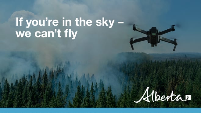
Drones are not allowed to be flown within five nautical miles (or 9.3 kilometers) of a wildfire. If you fly a drone within this distance of a wildfire, it immediately halts aerial firefighting operations because it is not safe for aircraft to be flying with drones in the air. Interfering with wildfire control operations can land you a court appearance.
See Transport Canada's Forest fires and drones fact sheet for more information.
For information on fire bans in Alberta, please visit AlbertaFireBans.ca or contact 311 for more information on fire bans, advisories and permits.

A fire restriction is in place for parts (fire control zones 27-30) of the Grande Prairie Forest Area.
Under this restriction:
- Existing fire permits are restricted, suspended or cancelled and no new fire permits will be issued
- Safe wood campfires within fire rings in campgrounds are allowed
Prohibited on public lands, including backcountry and random camping areas:
- All outdoor wood fires
- Fires fueled exclusively by charcoal briquettes
- The use of fireworks and exploding targets
Allowed in designated campgrounds on private and public land, designated day use areas and on privately owned land:
- Safe wood campfires
- Backyard fire pits, charcoal briquette barbeques
- Propane/ natural gas-powered that is appliances CSA approved or UL certified
Never leave a campfire unattended. Soak it, stir it and soak it again until cool to the touch to ensure it is extinguished. If you see a wildfire, report it immediately by calling 310-FIRE.
The fire restriction will remain in effect until conditions improve.

When wildfire danger is low to moderate, updates will be issued weekly. However, when the danger escalates to high or extreme levels, updates will be provided daily if fires are active and/or out of control.
Expect your next wildfire update on August 14, 2024, unless conditions change.
Kelly Burke | Wildfire Information Officer
(780) 832-7235
- Alberta Wildfire
- Alberta Fire Bans
- FireSmart in Alberta
- Alberta Emergency Alerts
- Air Quality Health Index
- Wildfire Smoke and Your Health
- 511 Road Reports
- Emergency Preparation
Subscribe to the Grande Prairie Forest Area wildfire update to receive an email when new information is posted.
Phone: 1-866-394-3473


