The wildfire danger level is LOW north of Lake Athabasca and VERY HIGH south of Lake Athabasca within the Fort McMurray Forest Area.
If you have a campfire, never leave it unattended. Soak the ashes, stir them and soak them again until they're cool to the touch.
If you see smoke or flame in the forest please call 310-FIRE (3473).
MCX002 - Cattail Complex
Wildfires MWF047, MWF077, and MWF079 are part of the Cattail Lake Complex. All three wildfires were caused by lightning.
MWF047 is classified as under control and estimated to be 110,962 ha in size and is located 53 km east of Fort McKay, 68 km northeast of Fort McMurray, and 6 km northeast of local industrial facilities.
MWF077 is classified as under control and estimated to be 18,453 ha in size and 38 km northeast of Fort McMurray, 46 km from Fort McKay, and 6.5 km from local industrial facilities.
MWF079 is classified as being held and estimated to be 7,948 ha in size and is located near the Saskatchewan border.
MCX003 - Algar Lake Complex
Wildfires MWF069 and MWF086 make up the Algar Lake Complex. Both wildfires were caused by lightning.
MWF069 is classified as under control and is located 10 km west of Highway 63 and 40 km southwest of Fort McMurray and is 17,183 ha in size.
MWF086 is classified as being held and is located 37 km southwest of Fort McMurray and is 2,251 ha in size.
MCX004 - Rabbit Lake Complex
Wildfires MWF060, MWF074, and MWF078 are part of the Rabbit Lake Complex. All three wildfires were caused by lightning.
MWF060 is classified as being held and is located about 25 km northeast of Chipewyan Lake. It is estimated to be 27,392 ha in size.
MWF074 is classified as under control and is located northeast of MWF060. It is 297 ha in size.
MWF078 is classified as being held and is located about 25 km east of Chipewyan Lake. It is 3,000 ha in size.
FORT MCMURRAY FOREST AREA WILDFIRE UPDATE
There are currently 17 active wildfires in the Fort McMurray Forest Area. Currently, nine are being held and eight are under control.
Since January 1, 2024, 97 wildfires have burned approximately 290,513 hectares (ha) in the Fort McMurray Forest Area.
MWF045 was discovered on July 2 and is approximately 23 km south of the Wood Buffalo National Park border. It is classified as being held and is estimated to be 5,454 ha in size. This wildfire was caused by lightning.
MWF061 was discovered on July 7. It is approximately 110 km northeast of Fort McKay and 13 km from the Birch Mountain Wildland Provincial Park. It is classified as being held and is estimated to be 1,514 ha in size. This wildfire was caused by lightning.
MWF063 was discovered on July 9 and is 60 km southwest of Camsell Portage (Saskatchewan) and 65 km northeast of Fort Chipewyan. It is classified as being held and is estimated to be 29,676 ha in size. This wildfire was caused by lightning.
MWF068 was discovered on July 10 and has crossed over into the High Level and Slave Lake forest area borders. It is classified as being held and is estimated to be 31,297 ha in size. This wildfire was caused by lightning.
MWF080 was discovered on July 14 and is located in the area between Gipsy Lake, Garson Lake and the Alberta/Saskatchewan border. It is classified as being held and is estimated to be 3,570 ha in size. This wildfire was caused by lightning.
MWF043 was discovered on July 3 and is approximately 22 km northwest of Bitumount. It is classified as under control at 427 ha in size. This wildfire was caused by lightning.
MWF064 was discovered on July 9 and is located on Bustard Island, approximately 2 km northwest of the Bushland Island remote forest recreational reserve. The island is 23 km northeast of Fort Chipewyan. It is classified as under control at 884 ha in size. This wildfire was caused by lightning.
MWF081 was discovered on July 16. It is located on Burntwood Island, 39 km northeast of Fort Chipewyan. It is classified as under control and is estimated to be 779 ha in size. This wildfire was caused by lightning.

See the latest fire danger maps.

You will need a fire permit for any burning in the Forest Protection Area of Alberta, with the exception of a campfire, until October 31.
To get started you will need:
- either an Alberta.ca Account or Alberta.ca Account for Organizations
- a description of the burn material(s)
- the location(s) of the burning activity
- any applicable photos or attachments
If you need help, see the Online Fire Permit System User Guide.
You can also request a fire permit by contacting your local forest area office.

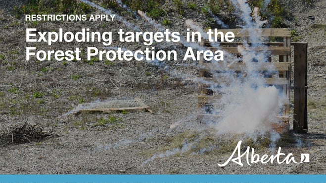
The use of exploding targets within the Forest Protection Area of Alberta is prohibited without written permission from a Forest Officer. Written permission is required year-round.
To find out more you can check out Alberta.ca.
If you wish to contact the Fort McMurray Forestry office you can call 780-743-7125.

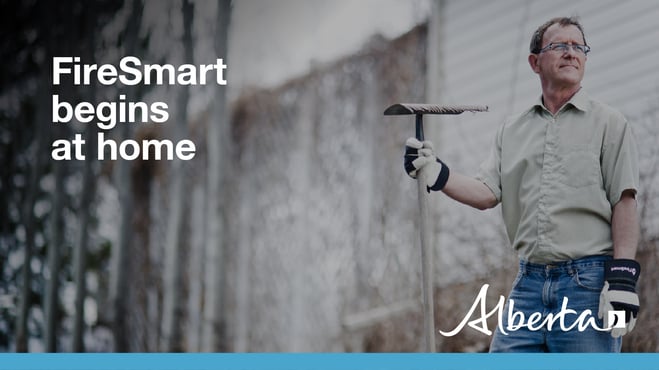
Do you want to get involved with FireSmart but don't know where to start? FireSmart 101 is a free online course that will provide you all the information you need to get you on your way to being FireSmart.
Visit FireSmart-101 to get your FireSmart journey started!
For more information please visit FireSmart Alberta.
CONTACT:


RELATED INFORMATION
- Alberta Wildfire
- Alberta Fire Bans
- FireSmart in Alberta
- Alberta Emergency Alerts
- Air Quality Health Index
- Wildfire Smoke and Your Health
- 511 Road Reports
- Emergency Preparation
Join the conversation on
DOWNLOAD OUR APPS
Alberta Wildfire App for Apple or Android and Alberta Fire Bans App for Apple or Android.
