The wildfire danger is extreme in the Fort McMurray Forest Area.
Alberta Wildfire is currently responding to an out of control wildfire south of Fort McMurray. See below for more information.
A fire ban and off-highway vehicle restriction are now in effect for the Fort McMurray Forest Area.
Please be cautious when spending time outdoors. Wildfires can start and spread very easily in dry grass.
Report wildfires by calling 310-FIRE (3473).

Wildfire MWF017 on May 16, 2024.
MWF017
MWF017 is classified as out of control at 19,820 hectares. The size reduction is due to a more accurate scan of the wildfire perimeter.
See the latest map of wildfire MWF017.
As of 6:30 p.m. today, the closest point of the fire remains about 5.5 km from the Fort McMurray landfill and 4.5 km from the intersection of highways 63 and 881.
There was limited growth on the wildfire today. Rain showers helped lower fire activity and allowed firefighters to make good progress. More rain is expected overnight and tomorrow.
Firefighters worked on building a containment line today and heavy equipment continued to work on fire guards to the southwest of Fort McMurray. Helicopters dropped water on hot spots with their buckets. Airtankers were unable to fly due to the weather.
Heavy equipment will continue to work overnight. Three night vision helicopters will also be dropping water on hot spots overnight, if weather conditions permit.
There are 172 firefighters, 22 helicopters and 57 pieces of heavy equipment currently assigned to the wildfire.
Firefighters have completed structure protection in the Abasand, Prairie Creek and Beacon Hill neighbourhoods, as well as on the Rickards Landing Industrial Park, Gregoire Lake Estates and Gregoire Lake 176.
Alberta Wildfire and the Regional Municipality of Wood Buffalo have entered unified command and are working together to manage this wildfire.
The cause of this wildfire remains under investigation.
The Regional Municipality of Wood Buffalo has issued an evacuation order for the communities of Prairie Creek, Beacon Hill, Abasand, and Grayling Terrace.
An evacuation alert remains in place for the rest of Fort McMurray, Saprae Creek, Gregoire Lake Estates, Fort McMurray 468 First Nation and Anzac.
See Alberta Emergency Alert for the latest information.
See 511 Alberta for the latest information on road closures.
-1.jpg?width=3024&height=3024&name=MWF017%20May%2016%202024%20(2)-1.jpg)
Heavy equipment operators are working around the clock to build fireguards to the southwest of Fort McMurray. May 16, 2024.
MWF024 was detected May 15 and is classified as under control, at 1 hectare in size. It is located about 3 km north of Fort McMurray, west of Highway 63 and north of Parsons Creek. Firefighters continue to work on this wildfire. There is no threat to the community.
MWF023 was detected May 13 and is currently classified as under control, at 1.8 hectares in size. It is located about 3 km northeast of the Fort Chipewyan airport, 1.7 km from the Allison Bay fire guard and 9 km northeast of the community. Firefighters continue to work on this wildfire. There is no threat to the community.
Jean Lake Complex (MXC001) is made up of two wildfires (HWF021 and MWF010), located near Birch Mountains. MWF010 is 7,976 hectares in size and HWF021 is 378 hectares. Both are classified as being held and do not pose a threat to any community.
There are currently two carryover wildfires from the 2023 season burning in the Fort McMurray Forest Area. Both of these wildfires are under control. They are being monitored by firefighters.
For up-to-date information on the current wildfire situation, visit Alberta Wildfire Status.
Download the Alberta Wildfire App for Apple or Android.


FIRE BAN AND OHV RESTRICTION IN EFFECT
A fire ban and OHV restriction is in effect within the Fort McMurray Forest Area due to dry conditions and extreme fire danger.
See Alberta Fire Bans for a map of the restriction area.
Under this fire ban:
- All existing fire permits are suspended (or cancelled)
- No new fire permits will be issued
Prohibited:
- All outdoor wood fires are banned, including wood campfires on public lands, wood campfires on private land and provincial campgrounds
- Backyard fire pits
- BBQ charcoal briquettes
- The use of fireworks and exploding targets
- The recreational use of off-highway vehicles (OHV) on public lands, including designated OHV trails
Allowed:
- Propane/natural gas-powered appliances
- Open flame oil devices (e.g., turkey deep fryers, tiki torches)
- Indoor wood fires contained within a device with a chimney and spark arrestor
- All appliances must be CSA approved and used per manufacturer’s standards
- Indigenous people when using an OHV for traditional purposes. Traditional purposes are hunting, fishing, and trapping – including the use of an OHV to travel to the location(s) for these purposes.
- Essential industry-related activities requiring the use of OHVs.
- Off-highway vehicle use is still permitted on private lands.
The fire ban and OHV restriction will remain in effect until conditions improve.

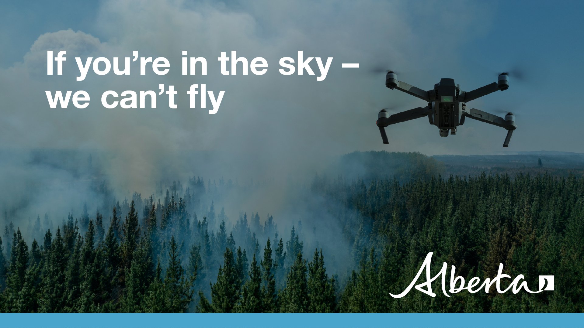
Drones are not allowed within five nautical miles (or 9.3 kilometers) of a wildfire. If you fly a drone within this distance of a wildfire, it immediately halts aerial firefighting operations because it is not safe for aircraft to be flying with drones in the air. Interfering with wildfire control operations can land you a court appearance.
See Transport Canada's Forest fires and drones fact sheet for more information.

Take wildfire prevention to new heights with our Wildfire Pledge Campaign!
Pledge today to reduce wildfires across the Fort McMurray Forest Area and you'll be entered to win an educational helicopter ride!
Take the pledge here: alberta.ca/wildfire-pledge
CONTACT
Josee St-Onge
Information Officer
Phone: 587-591-1855
Email: josee.st-onge@gov.ab.ca
RELATED INFORMATION
- Alberta Wildfire
- Alberta Fire Bans
- FireSmart in Alberta
- Alberta Emergency Alerts
- Air Quality Health Index
- Wildfire Smoke and Your Health
- 511 Road Reports
- Emergency Preparation
Join the conversation on
DOWNLOAD OUR APPS
Alberta Wildfire App for Apple or Android and Alberta Fire Bans App for Apple or Android.
