The average wildfire danger across the Calgary Forest Area (CFA) is now LOW, although some pockets of VERY HIGH to EXTREME remain in the far south. Several large storm systems moved through the northern and central portions of the CFA over the past 24 hours and in most cases were associated with substantial rainfall. This moisture is welcomed, but after such an extended period of hot and dry conditions, the larger fuels in the forest will require additional precipitation before the longer term wildfire danger is significantly reduced.
ACTIVE WILDFIRES IN THE CFA
CWF-065 (Burstall Lake Fire) is now classified as UNDER CONTROL. It is located in Peter Lougheed Provincial Park approximately 10 km south of the Spray Lakes Reservoir. It is currently estimated at 1.2 hectares. Investigators determined the fire was caused by lightning.
Resources on this wildfire today include 8 wildland firefighters and 1 helicopter for both crew movement and bucketing.
The Smith Dorian Trail (hwy. 742) remains open, but crews, aircraft and smoke may be visible. Local trail closures are in effect in the immediate vicinity. Please check the Alberta Parks website for current information on impacted trails.
CWF-057 (Fallentimber Fire) is classified as UNDER CONTROL. It is located approximately 25 km west of Water Valley. With the most recent mapping, the new size estimated at 48.8 hectares.
Resources on this fire today include 20 wildland firefighters and 1 helicopter.
Effective immediately, the closure related to the Fallentimber fire is now lifted. The Stud Creek Road (Burnt Timber Road) is open and trails in the area are accessible.
CWF-069 is classified as UNDER CONTROL. It is located approximately 6.5 km south of Chain Lakes and estimated at 0.1 hectares.
Since January 1, the CFA has responded to 69 wildfires which have burned 63.38 hectares.
Substantial lightning was noted across the CFA over the past 24 hours. Although many of the systems were associated with rain, we may still see new wildfire starts from this lightning. If you spot a fire, report it to 310-FIRE.


FIRE BAN IN THE CALGARY FOREST AREA REMAINS IN EFFECT
Extent of precipitation will be assessed in the short term. The FIRE BAN remains in effect.
Under this ban all fire permits are suspended or cancelled and no new permits will be issued.
Prohibited:
- Any type of open burning, including brush piles and burn barrels
- Fireworks and exploding targets
- Campfires in random camping areas
- Campfires in designated campgrounds and day use areas
- Backyard fire pits
- Charcoal briquettes
Allowed:
- Portable propane fire pits
- Gas or propane fueled stoves and barbecues
- Indoor wood fires inside a structure and contained within a device with a chimney and spark arrestor
- Catalytic or infrared style heaters
Cities, towns, villages and summer villages, as well as federal lands (such as national parks) are exempt from this ban. These jurisdictions have the authority to issue their own bans and may have complementary bans in place.
This fire ban impacts all campgrounds as well as random camping areas in public land use zones within the Calgary Forest Area.
This fire ban will remain in effect until conditions improve. For a map of the impacted area, visit albertafirebans.ca.
PROVINCIAL WILDFIRE SUMMARY (as of 10:00 am August 6, 2024)
- Since January 1, there have been 1,036 wildfires recorded in the Forest Protection Area that have burned 603,952 hectares (ha).
- There are currently 119 active wildfires in the Forest Protection Area. Of these wildfires, 15 are classified as out of control, 43 are being held and 61 are under control.
- There is currently one carryover wildfire from the 2023 season.
For the most up-to-date wildfire information, visit the Alberta Wildfire Status Dashboard.
WILDFIRE DASHBOARD
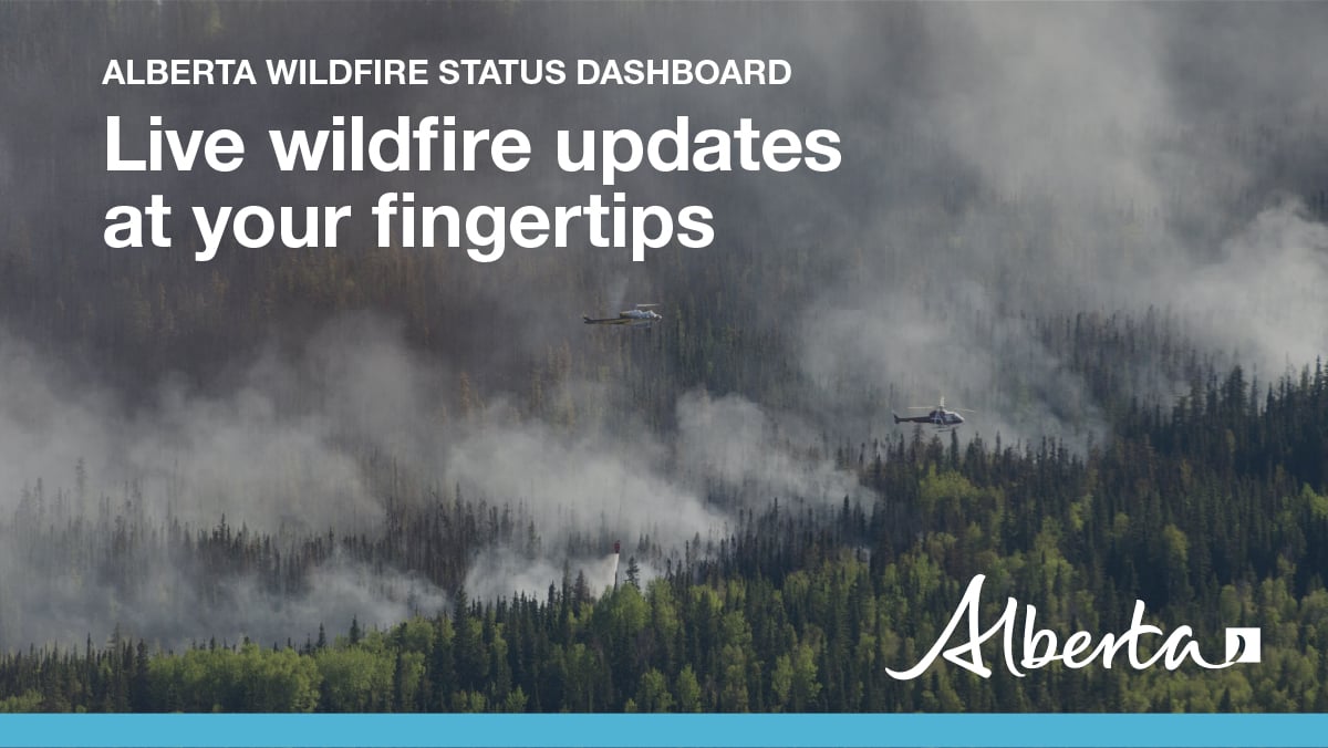
The wildfire dashboard provides up-to-date wildfire information at the click of a button. This interactive tool displays important statistics on the number of active wildfires in the Forest Protection Area of Alberta, sizes, locations and more.

MORE INFORMATION:
Anastasia Drummond
403-818-0938
anastasia.drummond@gov.ab.ca
RELATED INFORMATION
Websites:
- Alberta Wildfire
- Alberta Fire Bans
- FireSmart in Alberta
- Alberta Emergency Alerts
- Air Quality Health Index
- Wildfire Smoke and Your Health
- 511 Road Reports
- Emergency Preparation
Social Media:
