

Crews heading out to the Battle Creek fire.
FIRE BAN REMAINS IN EFFECT
 Due to the continued wildfire danger from dry grass and weather indicators, the Fire Ban and OHV Restriction remains in effect for the Peace River Forest Area and most of northern Alberta.
Existing fire permits are suspended until further notice.
Prohibited
- All open fires including campfires in campgrounds, backcountry and random camping areas and backyard fire pits.
- Charcoal briquettes, turkey fryers and tiki torches.
- Fireworks and exploding targets.
- The use of off-highway vehicles for recreational use on all public lands.
Allowed
- Portable propane fire pits that are CSA approved or UL certified.
- Gas or propane stoves and barbecues that are CSA approved or UL certified and are designed for cooking or heating.
- Catalytic or infrared-style heaters.
- OHVs for industrial use, agricultural use, and traditional use by Indigenous peoples, as well as use on private lands.
The Fire Ban and Off-Highway Vehicle Restriction will remain in effect until conditions improve.
Many nearby municipalities have advisories, restrictions or firebans in place. Please check www.albertafirebans.ca for more information and to view a map of the fireban/OHV restriction boundaries.
WILDFIRE UPDATE
Battle Complex:
PCX-001 (formerly PWF 052 and 054):
This lightning caused fire is now BEING HELD at 55,179 hectares in size in the Manning/Notikewin area.
Low level and high level (11,000 feet) scanning are being used to locate hotspots. Crews work from this data and are targeting areas that indicate heat.
Crews continue to mop up and target hotspots on all areas of the perimeter but are concentrating on the north flank, the bay on the east flank, and along the Stowe Road. The objective is to put a 100 foot wet line around the 230 kilometre perimeter.
Temperatures today reached 28 degrees, winds are from the north/northwest with a 40% chance of rain before this evening. Tomorrow our Fire Behaviour Specialist is forecasting 26 degree temperature, 25% relative humidity, winds southeast 15-20 km/hr and a 20% chance of precipitation. Just a reminder that when the relative humidity drops below 30% the fire activity increases. We expect to see burning within the perimeter tomorrow.
The Battle Fire continues to have ‘Being Held’ status. This fire has many pockets of green fuel in the middle of the fire. These pockets of fuel are no threat to the perimeter, but they will continue to put up smoke on warm, dry days.
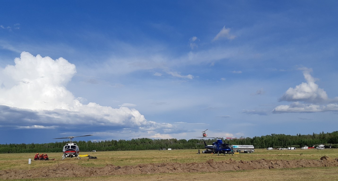
There are 385 firefighters and support staff, 14 helicopters and 38 pieces of heavy equipment working on this complex.
PWF 070 remains classified as under control at 251 hectares in size west of Keg River. The fire has been completely surrounded by dozer guard and the perimeter has not changed since Monday of last week.
PWF 076 is being held at 37 hectares in size in the Cliffdale area (33 kms east of St. Isidore and 27 kms south of Cadotte Lake). Fire fighters, helicopters and heavy machinery continue to work to bring this wildfire under control. No communities are at risk at this time.
HWF 042 (Chuckegg Creek Fire)
For updates on this fire, please visit http://srd.web.alberta.ca/high-level-area-update
For your safety and the safety of the numerous firefighters working to contain these wildfires, please stay obey the access restrictions and stay out of the area.
For information on the wildfire situation across the province of Alberta, visit: wildfire.alberta.ca.
SAFETY NOTICES
EVACUATION UPDATES
County of Northern Lights/Town of Manning:
Evacuation Alert Status has been lifted:
At 8:00 a.m. Friday, June 14th, 2019 the Joint Emergency Coordination Centre for the Town of Manning and the County of Northern Lights RESCINDS the Evacuation Alert Status for the following boundaries:
Evacuation Alert has been lifted for:
- Town of Manning
- Northward from Township Road 910, (North Star Road)
- Everyone west from Range Road 231
- Everyone west from the Notikewin River
- Everyone south of the County’s northern boundary (Keg River/Carcajou)
More information on the Alert Status being lifted can be found at http://www.countyofnorthernlights.com/did-you-know/evacuation-alert-status-rescinded-residents-of-county-of-northern-lights-and-town-of-manning/
For more information on evacuation alerts, visit Alberta Emergency Alert or download the free Alberta Emergency Alert app.
ROAD CLOSURES
The Chinchaga Road continues to be closed to the public. It can be accessed by commercial traffic but there are danger trees along the route so those using the road must stop at the checkpoints, drive 50 km/hr and drive straight through the area affected by the fire. No stopping is permitted while traversing the fire area.
Highway 35 is open for travel between Township Road 1022 and 5km south of High Level. This portion requires a police escort. Expect major delays in the area. There still is no access to Paddle Prairie at this time due to the wildfire.
For information on road closures and other access related hazards, visit Alberta 511 or download the free Alberta 511 app.
SMOKE
Smoke has been drifting back into the area throughout the day and there have even been reports of ash falling in some areas. This smoke is coming in from the Chuckegg Fire in the High Level Forest Area. For more information on that fire, please see the link above.
Smoke may be drifting into the area for the foreseeable future. Anyone with health concerns should check with Alberta Health Services or call 811 for 24/7 health advice from Alberta Health Link. For a smoke forecast map, visit Wildfire Smoke Forecasts for Western Canada .
Smoke from wildfires in northern Alberta may also cause reduced visibility. Please turn your vehicle headlights from auto to on when driving. For further information on air quality, visit: https://www.albertahealthservices.ca/news/air.aspx
FIRE PERMITS SUSPENDED
All fire permits have been suspended, effective on May 16 at 6 pm. No fire permits will be issued until the fire danger conditions improve.
Please call the Peace River Forest Area office at 780-624-6190 if you have any questions about fire permits.
DO YOUR PART TO PREVENT WILDFIRES
Please continue to respect the fire ban and quad restriction currently in effect.
FIRESMART
You can protect your home from wildfire
Protecting your home from wildfire starts with simple actions. Whether you are doing regular yard maintenance or making large scale changes during renovations or landscaping, you can make choices that will help protect your home from wildfire.
Learn more at firesmartcanada.ca.
FOR MORE INFORMATION

- Bookmark the Peace River Wildfire Update and check for updates anytime or subscribe to have it emailed to you
- Download our app, available for Apple and Android devices.
- You can also find us on Facebook,Twitter, Youtube
- or visit www.wildfire.alberta.ca
Or contact:
Crystal Burrows
Wildfire Information Officer
(780) 618-6215
crystal.burrows@gov.ab.ca
Report Wildfires 310-FIRE (3743)