PEACE RIVER FOREST AREA / WILDFIRE SITUATION
There are currently three fires classified as OUT OF CONTROL and four classified as BEING HELD in the Peace River Forest Area. Since January 1, there have been 85 wildfires in the Peace River Forest Area, which have burned approximately 12,685 hectares.

A fire ban is in effect for the entire Forest Protection Area of Alberta, including the Peace River Forest Area, due to hot and dry conditions.
Cities, towns, villages and summer villages, as well as federal lands (such as national parks), are exempt from this ban. These jurisdictions have the authority to issue their own bans and may have complementary bans in place.
Visit Alberta Fire Bans to see if a fire ban or restriction is in place in your area.
Under this fire ban:
- All fire permits are suspended or cancelled.
- No new fire permits will be issued.
- Some allowances can be made for essential agricultural and industrial burning, if approved by a forest officer.
Prohibited:
- All outdoor wood fires, including wood campfires on public land, private land, designated campgrounds, and backyard firepits
- Barbeque charcoal briquettes
- Fireworks and exploding targets
Allowed:
- Propane/ natural gas-powered appliances
- Indoor wood fires inside a structure (such as a facility, building, tent or RV) and contained within a device with a chimney and spark arrestor
- Open flame oil devices (such as deep fryers and tiki torches). All devices must be CSA approved and used per manufacturer’s standards.
The fire ban will remain in effect until conditions improve.

The fire danger is extreme throughout most of the province.
Since January 1, there have been 925 wildfires recorded in the Forest Protection Area that have burned 488,513 (ha). Last year, on this date, there were 885 wildfires that had burned 2,160,124 ha across the province. The five-year average — from January 1 to this date — is 742 wildfires, which burned 624,448 ha across the province.
CLASSIFICATIONS | Learn more about wildfire classifications.
LOCATIONS | View this wildfire on our interactive map by following the active wildfire link.
.png?width=1200&height=676&name=wildfire%20app%20(5).png)
LIGHTNING
Nature's fire starter
When it comes to starting wildfires in Alberta, lightning is second only to human activity. Of the 85 fires in the Peace River Forest Area in 2024, 44 have been caused by lightning.
Although lightning caused wildfires cannot be prevented, we can prepare and anticipate them with weather monitoring and resource allocation.
Learn more about forest fires and lightning.

SAFE CAMPFIRES
Never leave a campfire unattended: Soak it, stir it and soak it again until cool to the touch.
Wildfires can start anytime of year if the conditions are right. Here are a few tips that will help ensure a safe campfire:
-
- Never leave your campfire unattended. Before you leave your campfire, ensure you fully extinguish it by soaking the ashes, stirring them and soaking them again until they are cool to the touch.
- Choose a safe site that is out of the wind and on bare mineral ground. Ensure that sparks can't fly into nearby dry fuels or grass (a spark will fly farther than you think).
- Ensure you have sufficient firefighting equipment, including water, nearby. Don't take chances; a spark in dry grass will ignite easily and spread very quickly in windy conditions.
- Remember to visit www.albertafirebans.ca before heading out, to find the latest information about fire bans in the province.
- Never leave your campfire unattended. Before you leave your campfire, ensure you fully extinguish it by soaking the ashes, stirring them and soaking them again until they are cool to the touch.


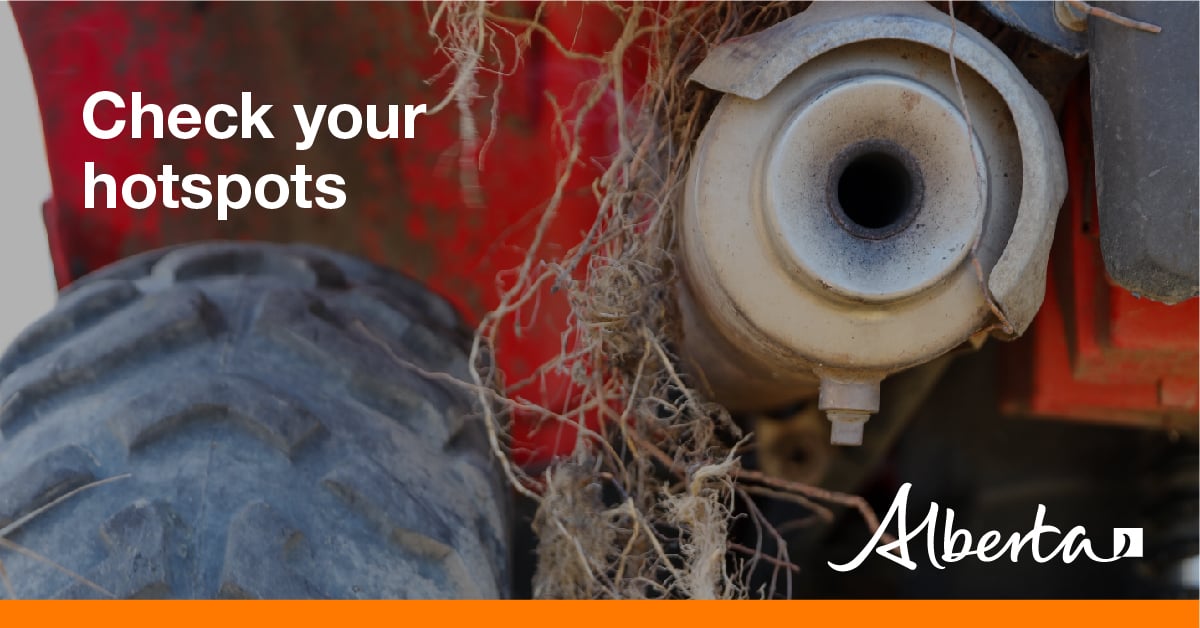
Using off-highway vehicles (OHV), tools and equipment? Please use caution if you are using an OHV or doing any work that will produce a spark, friction or hot exhaust. With an OHV, check your muffler and maintain your vehicle in good working condition; avoid use in areas with tall grass.

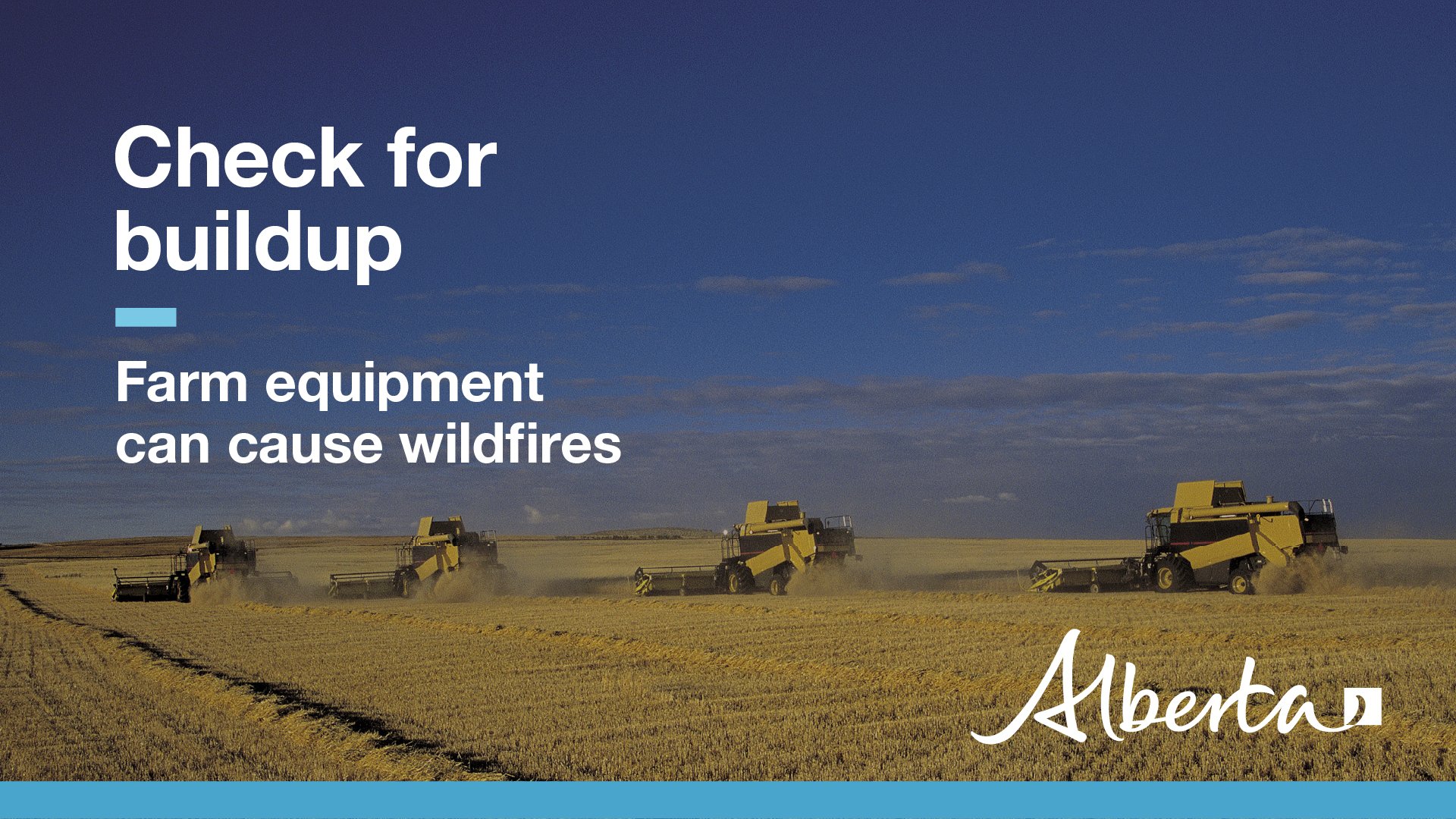
Tractors, combines, swathers, balers, and other heavy machinery on the farm can be a potential fire risk. You can reduce this risk by:
- Clearing out any excess chaff around the engine, exhaust, belts, and chains
- Replacing damaged exhaust systems, drive belts, and electrical wiring
- Properly greasing moving parts
- Fixing fluid, oil, and fuel leakages
To learn more about reducing the risk of wildfire on the farm, download the FireSmart Farm and Acreage Guide.
________________________
CONTACT:

Join the conversation on Facebook, Twitter or Instagram.
HELPFUL LINKS
