
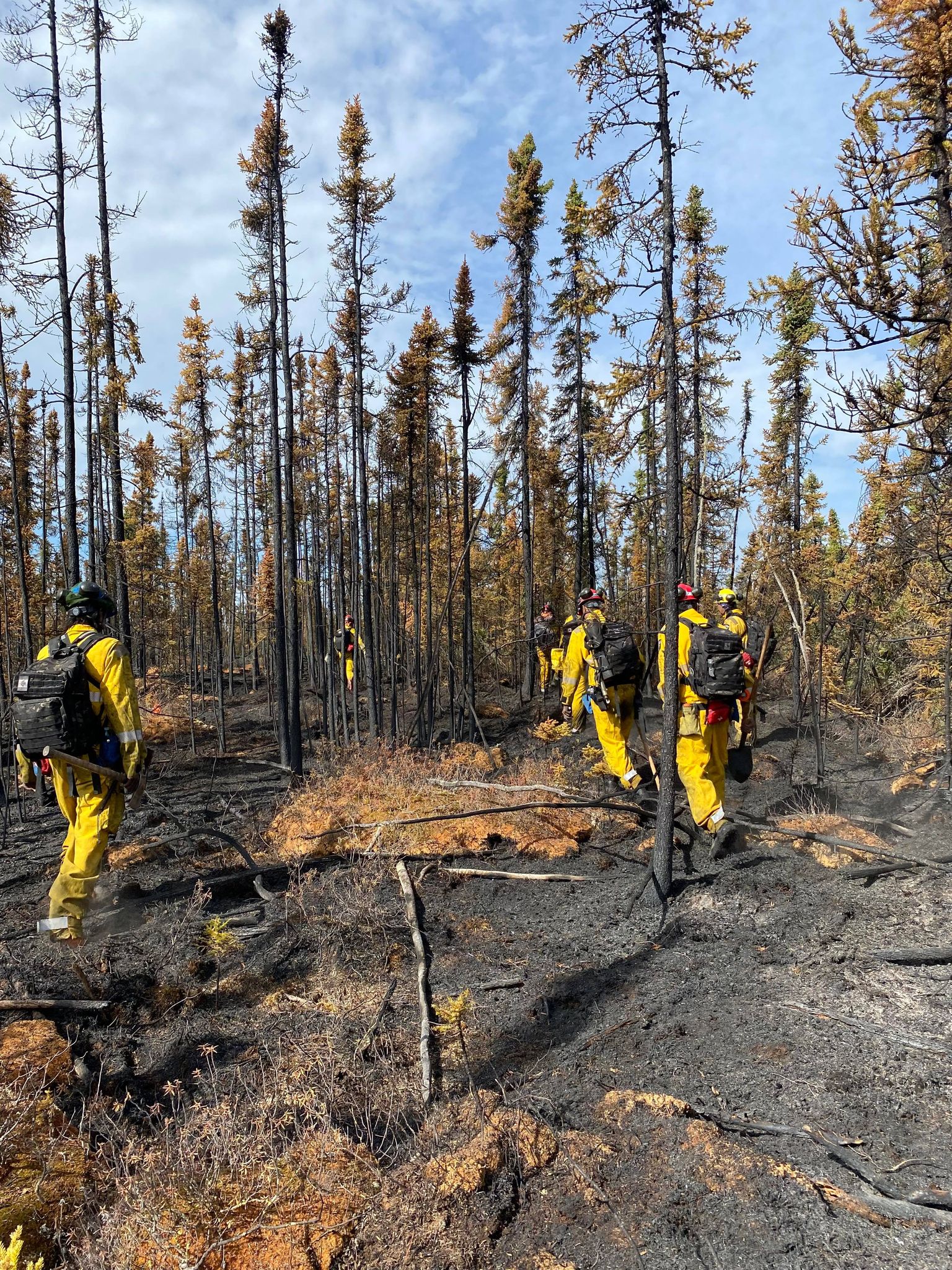
HIGH LEVEL FOREST AREA | WILDFIRE SITUATION | JUNE 14, 2022 AT 2:00 PM
There are seven wildfires in the High Level Forest Area. Of these fires, three are classified as Being Held (BH) and four are Under Control (UC). For more information or to view wildfires on a map, download the AB Wildfire App or visit Wildfire Status | AAF - Agriculture and Forestry (alberta.ca).
Wildfires of interest:
- Wildfire HWF013, is located approximately 20 kilometers south of the Northwest Territory border and six kilometers east of the British Columbia border. This fire is classified as Being Held (BH) at 8,300 hectares in size. Due to the fire not being in close proximity to any communities, this fire is being monitored by Alberta Wildfire.
- The Shekelie River Fire (HWF015) is located approximately 20 kilometers northwest of the community of Zama City. This fire is classified as Under Control (UC) at 3,000 hectares in size. There is no threat to the community of Zama City at this time.
Since January 1st, 2022 in the High Level Forest Area (HLFA), there have been 30 wildfires burning a total of 11,884 hectares.
Since January 1st, 2022 in the Forest Protection Area of Alberta, there have been 441 wildfires which burned a total of 12,964 hectares.
A fire advisory is in effect for the High Level Forest Area due to current and forecasted warm temperatures and no significant rainfall in the forecast. The fire advisory will remain in effect until conditions improve.
Under this advisory:
Existing fire permits are still valid but may be suspended or cancelled if warm, dry weather continues. New fire permits are being reviewed and approved on a case by case basis.
Prohibited:
- Any burning without a valid fire permit, other than a campfire, is prohibited
Allowed:
- Safe wood campfires *
- Backyard fire pits
- Portable propane fire pits
- Gas or propane stoves and barbecues
- Catalytic or infrared-style heaters
*Safe wood campfires - should be within a metal, brick, or rock fire ring. They are required to:
- a) be on rock, gravel, sand, or another non-combustible surface that extends at least one metre around the fire;
- b) have a responsible person in attendance to keep fire under control at all times and extinguish before leaving;
- c) have on hand enough water on site to extinguish the fire. Safe wood campfires on private lands include private land campgrounds and private land recreation areas; and
- d) Municipalities, Parks and protected areas may have additional fire safety requirements.
Never leave a campfire unattended. Soak it, stir it and soak it again until cool to the touch to ensure it is extinguished. If you see a wildfire, report it immediately by calling 310-FIRE.
READY TO RESPOND
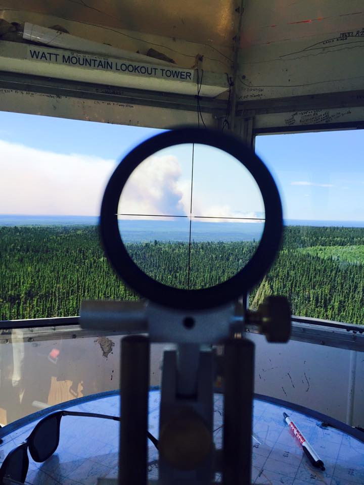
Lookout towers in the area are on alert and firefighters are prepositioned around the High Level Forest Area ready to respond to any new wildfires. To report a wildfire please call 310-FIRE(3473).
BURN IT WITH A PERMIT
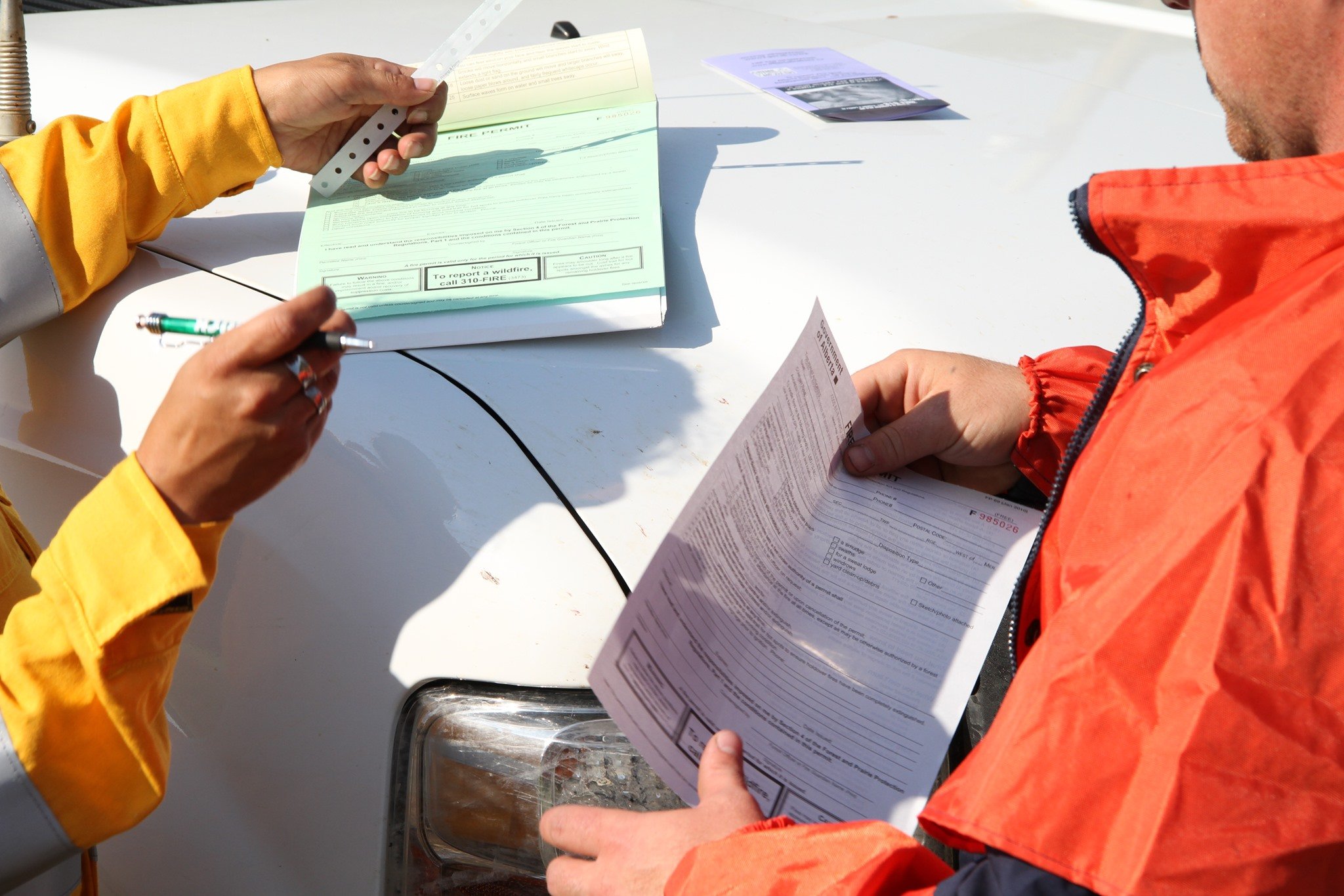
From March 1st to October 31st, a fire permit is required for any type of outdoor burning in the Forest Protection Area of Alberta with the exception of a campfire for cooking or warming. Fire permits help ensure that when smoke or fire is reported, wildfire officials can determine whether this is a wildfire or a permitted burn.
Albertans living or recreating in the Forest Protection Area of the province can request a free fire permit using the new, convenient online fire permit portal.
Fire permits can still be requested over the phone by calling the High Level Forest Area permit line at 780-926-5407.
THE FOREST PROTECTION AREA OF ALBERTA
The Ministry of Agriculture, Forestry and Rural Economic Development (AFRED) is responsible for all aspects of wildfire management within the Forest Protection Area (FPA) of Alberta. This includes wildfire prevention, wildfire response, permit issuance, enforcement and the initiation of fire advisories, restrictions, bans and forest area closures. Authority for these actions is granted under the Forest and Prairie Protection Act and supporting regulations.
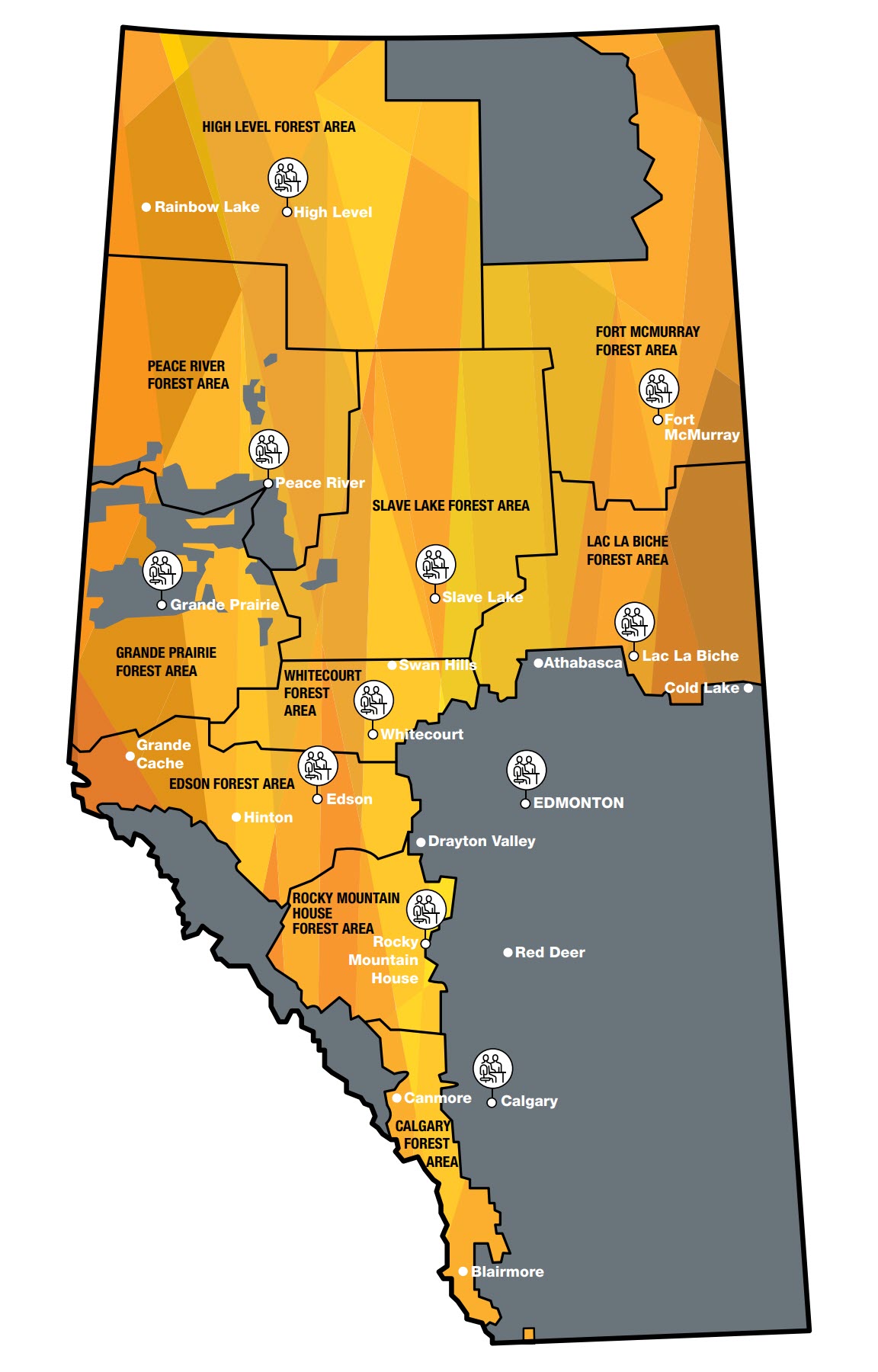
The FPA covers approximately 62% of the province, and is divided into 10 Forest Areas. Each Forest Area manages their own fire centre, fire bases, airtanker bases and wildfire lookouts. Resources are moved throughout the areas as required, and coordinated through the Alberta Wildfire Coordination Centre in Edmonton. Note that cities, towns, villages and summer villages, even if embedded within the FPA, are outside of AFRED’s jurisdiction. The local municipality or governing authority is responsible for wildfire management on their land base.
WILDFIRE INFORMATION
Download the Alberta Wildfire app today and get access to accurate, real-time information on wildfires in your area. You can also find information on fire advisories, restrictions and bans across the province and much more all on your mobile device. Available for Apple and Android.
Before heading out, please check albertafirebans.ca to determine whether there are any fire advisories, fire restrictions or fire bans in effect for your destination.
Subscribe to the High Level Forest Area Updates to receive an email when new information is posted. Join the conversation on Facebook, Twitter or Instagram.
.png?width=1200&name=wildfire%20app%20(2).png)
Victoria Ostendorf | Wildfire Information Officer
High Level Forest Area
Mobile: 780-841-9387
Office: 780-926-5401
Email: victoria.ostendorf@gov.ab.ca
