

The Chuckegg and Jackpot Creek wildfires remain out of control.
Fire Ban and Off-Highway Vehicle Restriction continues.
The fire danger remains high as the area needs a significant and widespread rainfall for the danger to be reduced.
Report wildfires by calling 310-FIRE(3473).
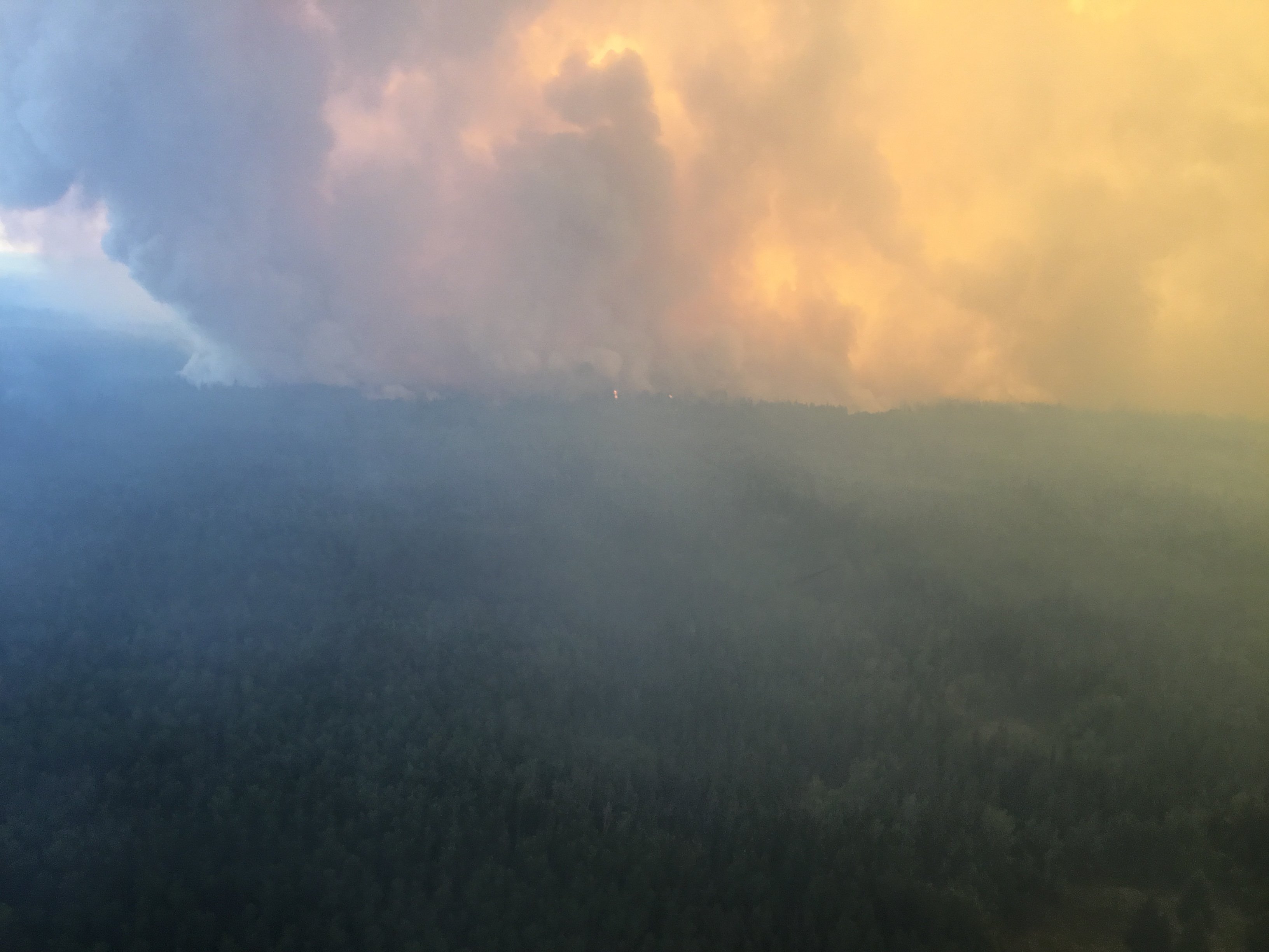
Active fire behaviour today on the Chuckegg Creek wildfire.
Click here for a map of all fire locations and their status within the High Level Forest Area.
Firefighters, helicopters, airtankers and heavy equipment are positioned throughout the High Level Forest Area to respond to any new wildfire starts. Please report wildfires by calling 310-FIRE.

FIRE BAN AND OFF-HIGHWAY VEHICLE RESTRICTION REMAIN IN EFFECT
A Fire Ban and Off-Highway Vehicle Restriction is in effect for the High Level Forest Area due to dry conditions and no significant rainfall in the forecast. The ban and restriction will remain in effect until conditions improve. All fire permits are suspended and no new fire permits will be issued.
Prohibited
- All open fires including campfires in campgrounds, backcountry and random camping areas and backyard fire pits.
- Charcoal briquettes, turkey fryers and tiki torches.
- Fireworks and exploding targets.
- The use of off-highway vehicles for recreational use on all public lands.
Allowed
- Portable propane fire pits that are CSA approved or UL certified.
- Gas or propane stoves and barbecues that are CSA approved or UL certified and are designed for cooking or heating.
- Catalytic or infrared-style heaters.
Visit albertafirebans.ca for more information or download the new Alberta Fire Bans mobile app.
THE CHUCKEGG CREEK FIRE
Today was a busy day on the fireline. We reached crossover conditions, where humidity levels are lower than temperature, by noon today meaning fire activity picked up quite early. During most of the early afternoon smoke was visible across the fire as winds and dry conditions caused flare ups and burning of green trees within the fire perimeter.
This afternoon, winds out of the southwest caused spot fires ahead of the fireguard on the portion of the fire just west of the Peace River and northeast of the ferry. The fire is being pushed in a northeast direction. Smoke is visible in Beaver First Nation, La Crete and surrounding communities. Crews were removed from this area due to safety concerns and went to work elsewhere on the wildfire. The planned ignition for this area did not happen at noon today due to switching winds. A back burn is planned for the east side tonight, if conditions are favorable.
- Crews continued to work on the north side of the fire, on search and destroy missions for hotspots. Crews also worked along the highway/railway and powerline to extinguish hotpsots within 100 feet of the roadway. In this area and throughout the fire, there is lots of deep burning ground fire which takes a lot of water and digging to extinguish. This kind of fire also causes damage to tree roots which means there is also danger from falling trees.
- With the switching winds we were able to complete some ignition on the west side of the fire to remove unburned vegetation from close to the fire’s edge. This is important to reduce the threat of fire spread if we get winds from an easterly direction.
- Crews supported by helicopters with buckets continued to put their hearts into removing danger trees and hotspots around Paddle Prairie, making the community and the roadways safer. Crews were working with pumps and hoses in the area west of the railway tracks to extinguish flare ups and hotspots.
- On the south east side, east of Peace River, crews worked to extinguish hotspots south of the campground as well as hotspots and flare ups along the edge of the fire. Smoke is visible and afternoon winds stirred up the burning windrows. Under southwest winds, residents should be aware of the potential for wind-driven embers to travel and create spot fires outside the fire perimeter. Stay watchful.
- On the east side of the fire, west of the river, the fire spotted across the guard. This happened in the early afternoon. Crews were removed from this area due to safety concerns. We are working on a plan to back burn in this area later this evening to try to limit the spread of the fire.
- Further north, along the east side, and right up to the north, crews continued to work with pumps and hoses, axes and shovels, to eliminate hotspots and create a 100 foot fire free zone from the edge of the fire inwards.
Due to the very low humidity levels, hot temperatures, and gusty winds, we anticipate aggressive fire behavior for a couple more hours.
Looking ahead, we are expecting an overnight temperature of 15 degrees with relative humidity reaching 50-60% and little wind. This is not a great humidity level for recovery (last night was 80%), but it will help settle the fire down. We are expecting a weak inversion in the morning, meaning the smoke will likely lift early and the fire will pick up sooner than later.
Tomorrow is going to be an unstable weather day, which is not favorable for the wildfire. With a cold front sitting on the Alberta/BC border around noon, we can expect winds over the fire for the peak burning period. The forecast for tomorrow is for a high of 30 degrees, humidity of 25% and winds S/SE 20 gusting 35 km/hr switching to SW 15-20 km/hr in the evening. There is a chance of thundershowers as well.
The wildfire danger level is extreme for tomorrow, given the weather and the forest conditions.
The forecast for Tuesday is for cooler temperature and a chance of showers. Hopefully Wednesday and Thursday will also be more humid.
- There are 875 firefighters and personnel, 46 helicopters, and 153 pieces of heavy equipment working on this wildfire.
- The fire is about 276,212 hectares. This does not include the excursion this afternoon.
Please be very careful in the forest tomorrow. If you see smoke or fire outside of the fire perimeter please call 310-FIRE immediately.

THE JACKPOT CREEK FIRE
Challenging conditions today, as the fire expanded on the east and northeast flanks. Dozer guard on the west side of the northern excursion is still holding, and being reinforced with helicopter bucketing and airtankers. Crews working the southwest portion are progressing well; the perimeter on that side held. Heavy equipment was unable to breach the Hay River in the southeast so dozers will have to cross in the north and cross the fire to begin guard in the southeast corner.
- There are 88 firefighters and support staff, 10 helicopters and 2 pieces of heavy equipment working on this fire.
- The last recorded size is 47,388 ha.
ALERTS AND EVACUATIONS
PADDLE PRAIRIE METIS SETTLEMENT
Paddle Prairie has an evacuation order in place. Evacuees should register at the reception centre located at the Grande Prairie Regional College. The reception centre phone number is 780-567-5587. For information on the Paddle Prairie Metis Settlement evacuation, please visit their Facebook page.
COUNTY OF NORTHERN LIGHTS
At 8:00 a.m. Friday, June 14th, 2019 the Joint Emergency Coordination Centre for the Town of Manning and the County of Northern Lights RESCINDS the Evacuation Alert Status for the following boundaries:
Evacuation Alert has been lifted for:
- Town of Manning
- Northward from Township Road 910, (North Star Road)
- Everyone west from Range Road 231
- Everyone west from the Notikewin River
- Everyone south of the County’s northern boundary (Keg River/Carcajou)
More information on the Alert Status being lifted can be found on the County of Northern Lights webpage.
TOWN OF HIGH LEVEL | MACKENZIE COUNTY | DENE THA
The Town of High Level, Mackenzie County and Dene Tha have lifted the eight-hour evacuation alert. However, stay prepared and stay informed. All residents of the area should continue to check the following links and listen to local radio for updates.
- Alberta Emergency Alert, Download the mobile app.
- Town of High Level Website or Facebook page
- Mackenzie County Facebook Page
ALBERTA TRANSPORTATION
Alberta Transportation has reopened Highway 35 south of High Level with the aid of a police escort to ensure travelers safety; expect delays. Highway 697 east of Highway 35 to the La Crete Ferry remains closed. The La Crete Ferry is also closed. To stay informed on all road closure info visit the Alberta Transportation website or download the mobile app.
SMOKE ISSUES
Smoke from wildfires in northern Alberta has caused poor air quality and reducing visibility at times. Winds will continue to shift bringing smoky conditions. For health related smoke issues, please visit Alberta Health Services.

Leslie Lozinski | Wildfire Information Officer | Chuckegg Creek
Mobile: 780-623-9758
1-866-FYI-FIRE
Stephanie Grocholski | Wildfire Information Officer | High Level Forest Area
Mobile: 780-926-7509
1-866-FYI-FIRE
stephanie.grocholski@gov.ab.ca
RELATED INFORMATION
- Alberta Wildfire Status
- Alberta Fire Bans
- Air Quality Health Index
- Alberta Emergency Alerts
- 511 Road Reports
- Emergency Preparation