The wildfire danger level is LOW in the Fort McMurray Forest Area.
If you have a campfire, never leave it unattended. Soak the ashes, stir them and soak them again until they're cool to the touch.
If you see smoke or flame in the forest please call 310-FIRE (3473).
FORT MCMURRAY FOREST AREA WILDFIRE UPDATE
There are currently 12 active wildfires in the Fort McMurray Forest Area. Currently, one is being held and 11 are under control.
Since January 1, 2024, 99 wildfires have burned approximately 290,503 hectares (ha) in the Fort McMurray Forest Area.
MCX002 - Cattail Complex
Wildfires MWF047, MWF077, and MWF079 are part of the Cattail Lake Complex. All three wildfires were caused by lightning.
MWF047 is classified as under control at 110,962 ha in size and is located 53 km east of Fort McKay, 68 km northeast of Fort McMurray, and 6 km northeast of local industrial facilities.
MWF077 is classified as under control at 18,453 ha in size and 38 km northeast of Fort McMurray, 46 km from Fort McKay, and 6.5 km from local industrial facilities.
MWF079 is classified as under control at 7,948 ha in size and is located near the Saskatchewan border.
MCX003 - Algar Lake Complex
Wildfires MWF069 and MWF086 make up the Algar Lake Complex. Both wildfires were caused by lightning.
MWF069 is classified as under control and is located 10 km west of Highway 63 and 40 km southwest of Fort McMurray and is 17,183 ha in size.
MWF086 is now extinguished and is located 37 km southwest of Fort McMurray and is 2,251 ha in size.
MCX004 - Rabbit Lake Complex
Wildfires MWF060 and MWF078 make up the Rabbit Lake Complex. Both wildfires were caused by lightning.
MWF060 is classified as being held and is located about 25 km northeast of Chipewyan Lake. It is estimated to be 27,392 ha in size.
MWF078 is classified as under control at approximately 3,000 ha in size and is located about 25 km east of Chipewyan Lake.
Other wildfires
MWF045 was discovered on July 2 and is approximately 23 km south of the Wood Buffalo National Park border. It is classified as under control and is estimated to be 5,454 ha in size. This wildfire was caused by lightning.
MWF061 was discovered on July 7. It is approximately 110 km northeast of Fort McKay and 13 km from the Birch Mountain Wildland Provincial Park. It is classified as under control at 1,514 ha in size. This wildfire was caused by lightning.
MWF063 was discovered on July 9 and is 60 km southwest of Camsell Portage (Saskatchewan) and 65 km northeast of Fort Chipewyan. It is classified as under control at 29,676 ha in size. This wildfire was caused by lightning.
MWF068 was discovered on July 10 and has crossed over into the High Level and Slave Lake forest area borders. It is classified as under control at 31,297 ha in size. This wildfire was caused by lightning.
MWF080 was discovered on July 14 and is located in the area between Gipsy Lake, Garson Lake and the Alberta/Saskatchewan border. It is classified as under control at 3,570 ha in size. This wildfire was caused by lightning.

Want to make a difference in the 2025 fire season?
More seasonal positions will become available over the next few months, stay tuned!
Join a crew today by applying through one of the links below.
Find more information: Crew member, sub leader and leader, or all available Alberta Wildfire jobs.

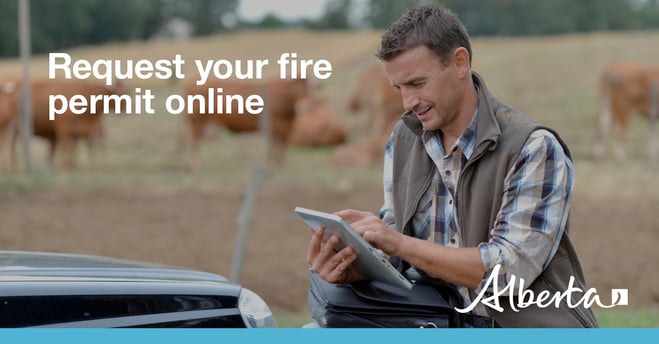
You need a fire permit for any burning in the Forest Protection Area of Alberta, with the exception of a campfire, until October 31.
To get started you will need:
- either an Alberta.ca Account or Alberta.ca Account for Organizations
- a description of the burn material(s)
- the location(s) of the burning activity
- any applicable photos or attachments
If you need help, see the Online Fire Permit System User Guide.
You can also request a fire permit by contacting your local forest area office.

Safe campfires
When camping or recreating outdoors, always remember to properly extinguish your campfire. Soak it, stir it, and soak it again.
Choose your campsite:
In campgrounds or recreational areas, use the designated stoves, fire rings or fire pits. These are designed to keep fires from spreading and are the best choice for a safe campfire.When outside of a campground, use sites that are clear of:
- dry grass
- bushes
- leaves
- branches
- tree trunks
- peat moss
- overhanging branches
Remember:
- If a site has already been used for a campfire, use the same site.
- Build your campfire on level ground that is sheltered from wind.
- If you cannot build your fire near a water source, have a large container of water nearby to keep your campfire under control.
Learn more at Campfire safety.
CONTACT:

RELATED INFORMATION
- Alberta Wildfire
- Alberta Fire Bans
- FireSmart in Alberta
- Alberta Emergency Alerts
- Air Quality Health Index
- Wildfire Smoke and Your Health
- 511 Road Reports
- Emergency Preparation
Join the conversation on
DOWNLOAD OUR APPS
Alberta Wildfire App for Apple or Android and Alberta Fire Bans App for Apple or Android.
