

A MANDATORY EVACUATION ORDER has been issued for the entire community of Fort Chipewyan, due to wildfire MWF025. Evacuation has been safely completed. Click here for more information.
Wildfire Danger
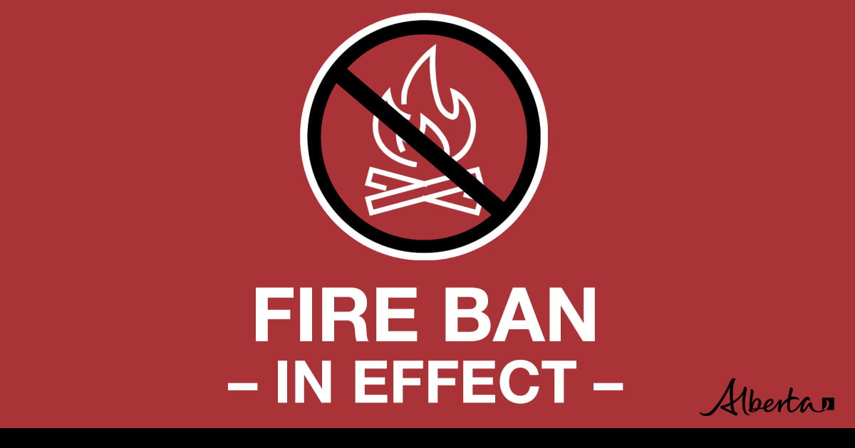
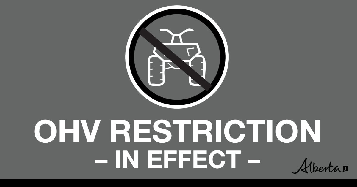
The wildfire danger is MODERATE in the Fort McMurray Forest Area. Firefighters urge everyone to continue to use caution as a wildfire will ignite easily and spread quickly. There is a Fire Ban and OHV Restriction in effect, visit Alberta Fire Bans. Report wildfires immediately by calling 310-FIRE(3473).
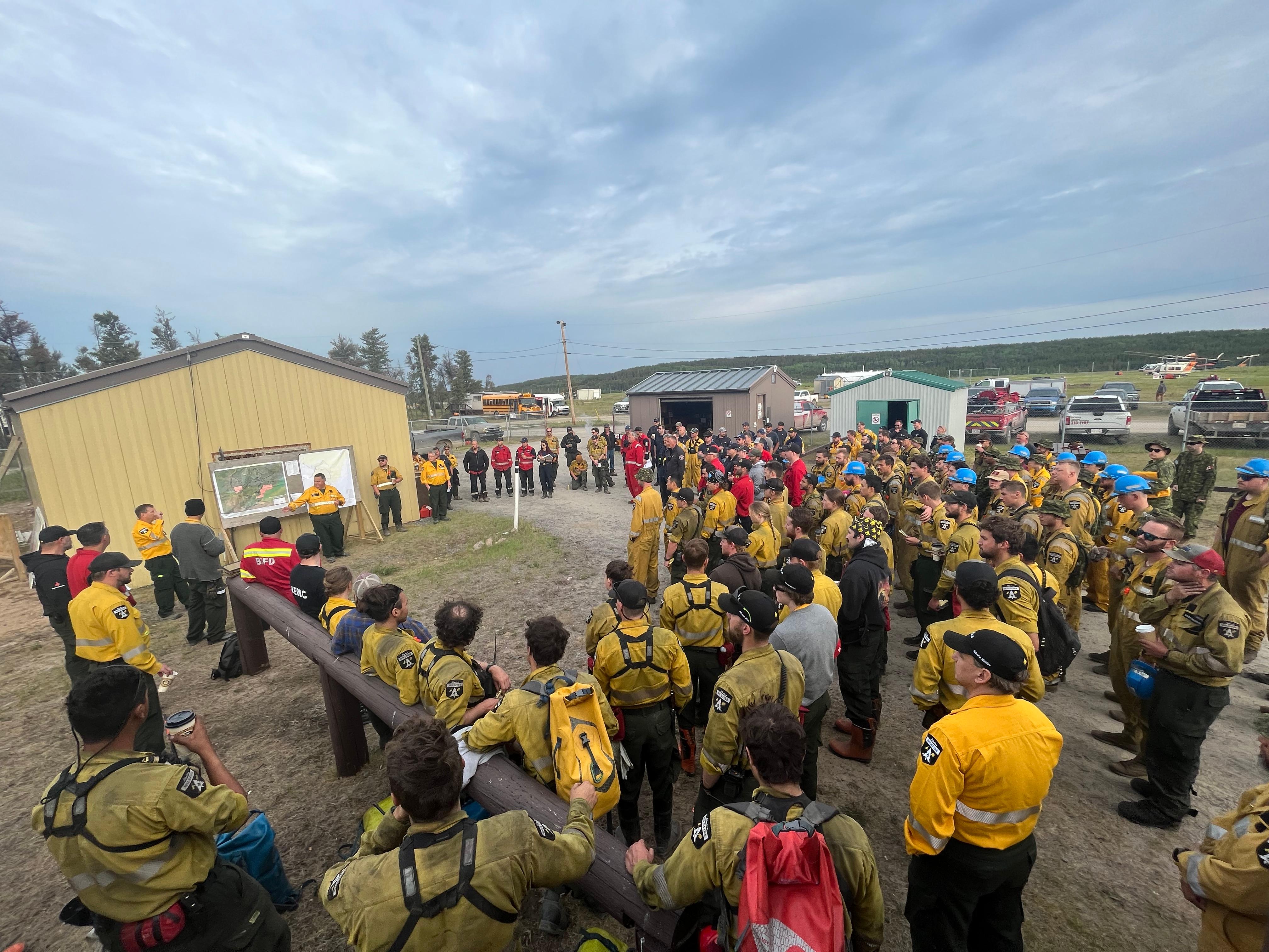
(The morning meeting before the work starts. June 4, 2023)
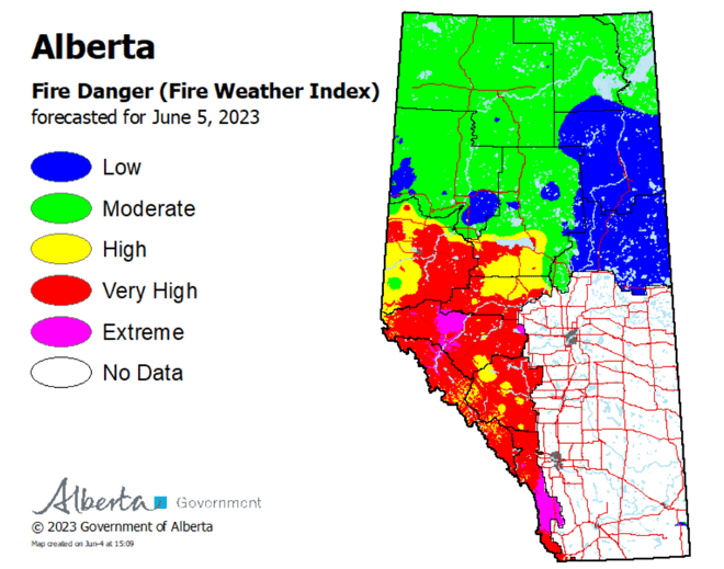
To see the forecasted fire danger click here, updates daily at 3:00 PM.
ON ALERT
Fire lookouts are on high alert constantly watching for smoke and firefighters in helicopters are assessing potential sightings of wildfires, ready to respond to any new wildfires that may start.
The provincial state of emergency has been cancelled. Click here, for more information on supports that are still in place.
Wildland firefighters urge everyone to be extremely cautious when out in the Forest Protection Area. Check your winter burns, and comply with Fire Bans and OHV restrictions.
SMOKY CONDITIONS
Due to the numerous wildfires in Alberta, smoky conditions will persist in communities and along highways. Anyone with health concerns should visit Alberta Health Services or call 811 for health advice from Alberta Health Link. Before travelling check www.511.Alberta.ca for information the latest road conditions or closures. Visit www.firesmoke.ca to see where the smoke is coming from and to view wildfires on a map, download the AB Wildfire App or visit the Alberta Wildfire Status Dashboard.
FORT MCMURRAY WILDFIRE UPDATE
Since January 1, 2023 there have been 31 wildfires in the Fort McMurray Forest Area, burning a total of 94, 412.38 hectares (ha).
SWF081 was detected on May 14 and is located near Chipewyan Lakes. This wildfire is classified as being held and is estimated to be 20,082.80 hectares in size. This wildfire was caused by lightning.
Currently, there are 150 personnel working on this wildfire, which includes an incident management team, firefighting crews and contractors.
To view the most recent map of SWF081, click here.
MWF021 was detected on May 27 and is located near Birch Mountains Wildland Provincial Park. This wildfire is classified as being held and is 9,764 ha in size. This wildfire was caused by lightning.
MWF023 was detected May 28 and is located near Birch Mountains Wildland Provincial Park. This wildfire is classified as being held and is 26,110 ha in size. The cause of this wildfire is under investigation.
MWF024 was detected May 28 and is located east of Marguerite River Wildland Provincial Park. This wildfire is classified as being held and is approximately 23,767 ha in size. This wildfire was caused by lightning.
MWF025 was detected May 28. After collecting more accurate data, we determined that the wildfire is approximately 4.5 km from Allison Bay residences, approximately 2.5 km from the Fort Chipewyan airport and approximately 7 km from Fort Chipewyan. This wildfire is classified as out of control and is approximately 24,106 ha in size. Wildfire investigators determined that this wildfire was caused by lightning.
Currently, there are 60 firefighters and 41 structure protection personnel working to contain this wildfire, along with multiple aircraft and several pieces of heavy equipment. Additionally, the Canadian Armed Forces deployed 65 personnel to assist in firefighting efforts.
The mandatory evacuation order is still in effect for the entire community of Fort Chipewyan. Click here for more information.
Since May 29th, 820 people have been safely evacuated from Fort Chipewyan.
Re-entry will only happen when it is safe to do so. The Emergency Management Team continues to work around the clock to assess needs and support residents. Athabasca Chipewyan First Nation, Mikisew Cree First Nation, Fort Chipewyan Métis Nation and the Regional Municipality of Wood Buffalo will work together to establish a safe re-entry process.
For the most recent map of MWF025, click here.
Today, we had a max temperature of 17 degrees Celsius and a relative humidity of 65 per cent. More winds are blowing from the east/southeast at approximately 20 km/hour. As of approximately 2 pm today, Fort Chipewyan received approximately 5.2 mm of precipitation. This has helped to keep fire behaviour low and are able to make significant headway on strengthening containment lines.
Tomorrow, we expect a high of 23 degrees Celsius and a relative humidity of about 60 per cent. Winds are expected to be blowing from the north/northwest at approximately 15 km/hour. This means the wind could push the wildfire in a south/southeast direction. However, there's a good chance of precipitation tomorrow as well.
MWF026 was detected May 28 and is located approximately northeast of Marguerite River Wildland Provincial Park. This wildfire is classified as being held and is approximately 1,756 ha in size. This wildfire was caused by lightning.
MWF028 was detected June 1 and is located near Ells River. This wildfire is classified as under control and is approximately 4.36 ha in size. This wildfire was caused by lightning.
MWF030 was detected today and is located near La Butte Creek. This wildfire is classified as out of control and is 10 ha in size. The cause of this wildfire is currently under investigation.
MWF031 was detected today and is located northeast of Fort Fitzgerald. This wildfire is classified as out of control and is approximately 2.5 ha in size. The cause of this wildfire is currently under investigation.
Mutual-Aid wildfires:
MSC001 is located on the Alberta/Saskatchewan border, just south of Lake Athabasca. This wildfire is classified as out of control and is approximately 75 ha in size.
MNZ001 is located on the south edge of the Alberta/Wood Buffalo National Park border. This wildfire is classified as out of control and is approximately 2,595 ha.
To view active wildfires across Alberta, click here.
Check out the RMWB website for additional information.
FIRE BAN AND OHV RESTRICTION IN EFFECT
A fire ban and OHV restriction is in effect within the Fort McMurray Forest Area due to extreme fire danger.
Under this fire ban:
- All existing Fire Permits are suspended (or cancelled)
- No new Fire Permits will be issued
Prohibited:
- All outdoor wood fires are banned, including wood campfires on public lands, wood campfires on private land and provincial campgrounds
- Backyard firepits
- BBQ charcoal briquettes
- The use of fireworks and exploding targets
- The recreational use of off-highway vehicles (OHV) on public lands, including designated OHV trails
Allowed:
- Propane/natural gas-powered appliances
- Open flame oil devices (e.g., turkey deep fryers, tiki torches)
- Indoor wood fires contained within a device with a chimney and spark arrestor
- All appliances must be CSA approved and used per manufacturer’s standards
- Indigenous people when using an OHV for traditional purposes. Traditional purposes are hunting, fishing, and trapping – including the use of an OHV to travel to the location(s) for these purposes.
- Essential industry-related activities requiring the use of OHVs.
- Off-highway vehicle use is still permitted on private lands.
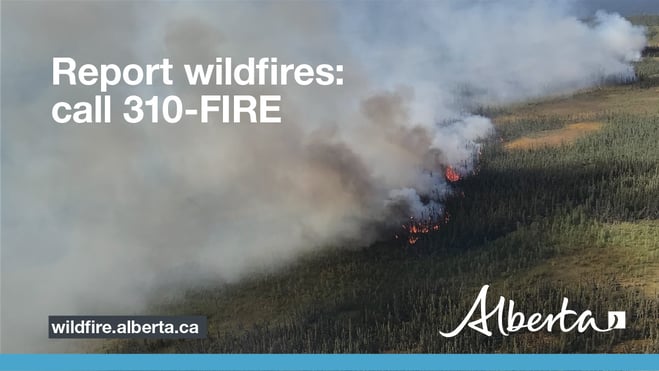
If you see a wildfire, report it immediately by calling 310-FIRE.
The fire ban and OHV restriction will remain in effect until conditions improve.
PROVINCIAL WILDFIRE UPDATE
Since January 1, 2023 in the Forest Protection Area, there have been 567 wildfires burning a total of 1,198,977 ha.
SMOKY CONDITIONS
Due to the numerous wildfires in Alberta, smoky conditions will persist in communities and along highways. Anyone with health concerns should visit Alberta Health Services or call 811 for health advice from Alberta Health Link. Before travelling check www.511.Alberta.ca for information the latest road conditions or closures. Visit www.firesmoke.ca to see where the smoke is coming from and to view wildfires on a map, download the AB Wildfire App or visit the Alberta Wildfire Status Dashboard.
CHECK WINTER BURNS
Wildland firefighters are urging that it is important to check your winter burns to ensure it is completely extinguished. With dry conditions and gusting winds, it's possible for a winter burn to re-emerge as an active wildfire. Even though it may not be showing any visible signs of activity, deep underground, there might still be an active fire burning.
WILDFIRE DASHBOARD
The wildfire dashboard provides up-to-date wildfire information at the click of a button. This interactive tool displays important statistics on the number of active wildfires in the Forest Protection Area of Alberta, sizes, locations, suspected causes and more.
The dashboard builds on the former wildfire status map by displaying the most frequently accessed information in one convenient location.
CONTACT

Websites:
Alberta Wildfire, Alberta Fire Bans, FireSmart in Alberta, Alberta Emergency Alerts, Air Quality Health Index
Wildfire Smoke and Your Health, 511 Road Reports, and Emergency Preparation.
Social Media:
Join the conversation on
![]()
![]()
![]()
Apps:
Alberta Wildfire App for Apple or Android and Alberta Fire Bans App for Apple or Android.