

Wildfire Hazard Sunday June 26th - 9 p.m..
There is significant rain in the weather forecast but until it arrives the hazard in the Slave Lake Forest Area is still very high.
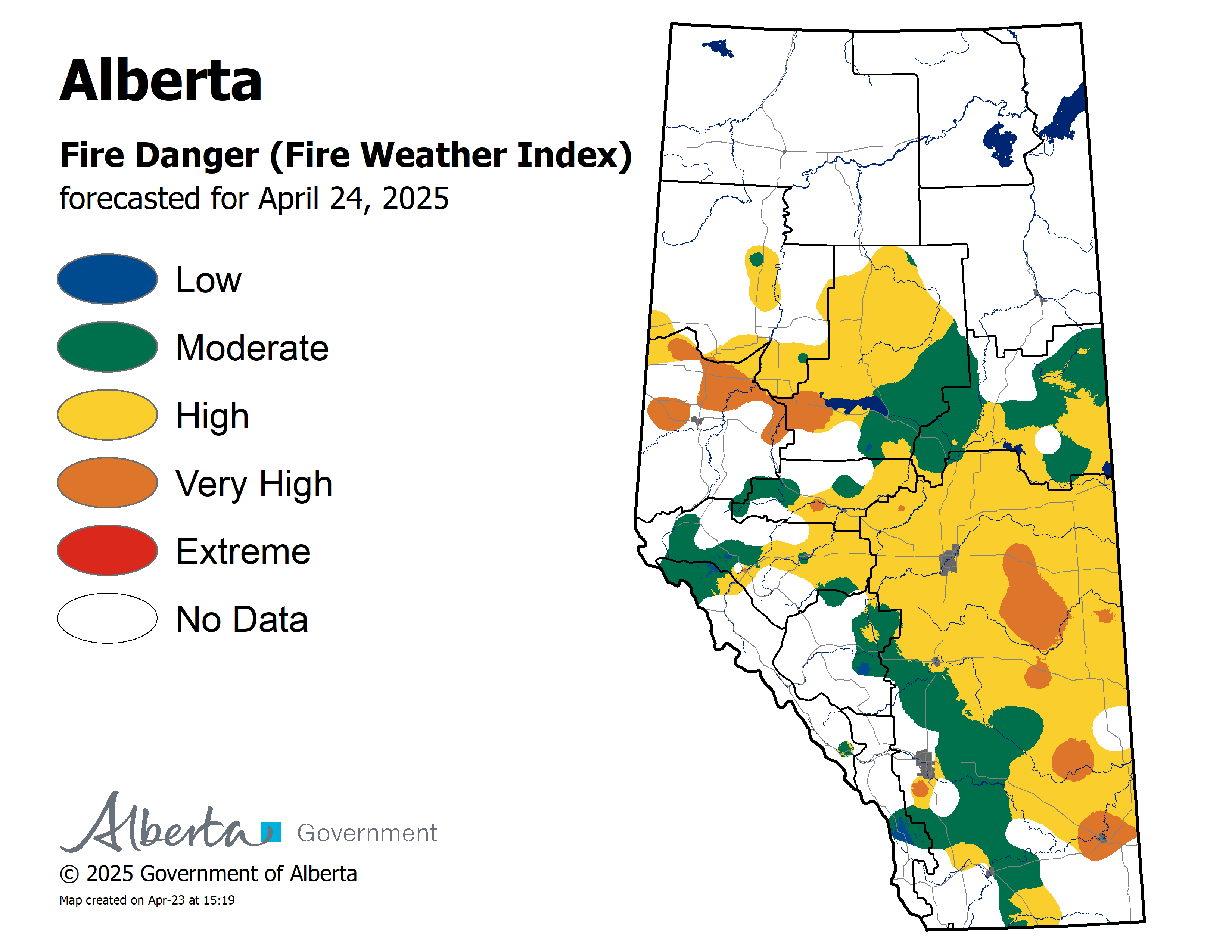
Click here to view the wildfire hazard map.
Weather
A thunderstorm is still expected to move into our area later today bringing with it the potential for 20-40 millimetres of rain. The forecast for Tuesday and Wednesday is for rain with the possibility of clearing on Thursday. Report wildfires immediately by calling 310-FIRE (3473).
Use caution when working or recreating in the forest. Make sure your campfire is out and when riding your off - highway vehicle stop frequently to remove the build up of debris.
Wildfire Situation as of 9:00 pm June 26th, 2017
Slave Lake Wildfire Number 51, 52, 57 and 58 - These wildfires are currently burning out of control in the Otter Lakes area. Wildfire 51 is estimated at 100 hectares in size and wildfire 52 is estimated at 60 hectares in size and both wildfire 57 and 58 at estimated at 0.01 ha. There are airtankers and helicopters currently working on these fires this evening. No communities are being threatened.
Slave Lake Wildfire Number 53 and 54 - These wildfires were both lightning caused and are currently considered at being held and are estimated at 0.01 hectares each and they are in the Grizzly Ridge Wildland Provincial Park.
Slave Lake Wildfire Number 55 - This wildfire is estimated at 0.01 hectares in size and it is 6 kilometres north east of Otauwau Lake.
Slave Lake Wildfire Number 56 - This wildfire is considered to be out of control, it is estimated at 0.01 hectares in size and it is 13 kilometres east of Swampy Lake.
Slave Lake Wildfire Number 49 - The expected high winds that were forecasted in the area of the wildfire did not arrive. This allowed early morning airtanker activity to help aid suppression of this fire. There are 40 wildland firefighters currently working to extinguish this fire along with 5 helicopters. The fire size has not changed during the day and is still estimated at 320 hectares. The wildfire is located 5 kilometres east of Highway 88, approximately 42 kilometres north of Red Earth Creek. The wildfire is estimated to be 320 hectares in size and is classified as burning out of control.
No communities are being threatened. Your next update will be tomorrow.
Since March 1st, the Slave Lake Forest Area has recorded 58 wildfires, burning a total area of 420.04 hectares.
For information on the wildfire situation across the province of Alberta click here.
Fire Permits
Don't forget to get your free fire permit for fireworks. Fire permits are required when igniting fireworks in the Forest Protection Area.
To obtain your free fire permit, please call your local Alberta Agriculture and Forestry Office:
- Slave Lake/Red Earth/Peerless/Trout 780-849-7377
- Wabasca 780-891-3860
- High Prairie 780-523-6619
During the Fire Season a fire permit is required for any burning in the Forest Protection Area -excluding campfires.
Fire permits help us to track what is burning on the landscape and if you are burning without a fire permit or outside your fire permit conditions, your fire is considered a wildfire. By getting a fire permit you help keep our firefighters free to fight real wildfires instead of responding to the smoke in your backyard.
Please do your part to prevent wildfires
Unless conditions change, you can expect your next wildfire update on June 27th, 2017.
Tanis Blocka - Wildfire Information Officer
Mobile: 780-516-1347
Email: tanis.blocka@gov.ab.ca
Report Wildfires 310-FIRE (3473)